Overview
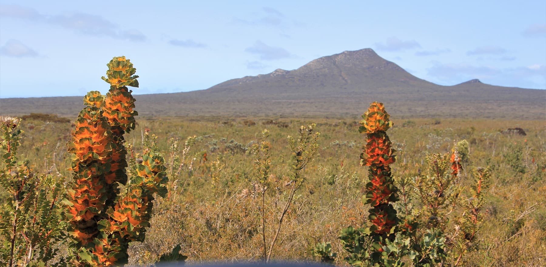
The Ravensthorpe Range is the ever-present backdrop to the town of Ravensthorpe. Geologically complex and at the convergence of inland and coastal ecosystems, this low circle of hills is an incredible arc of biological richness.
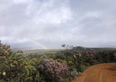
One of the easiest ways to appreciate this complexity and richness is to take a short drive south-east of Ravensthorpe, on the Hopetoun-Ravensthorpe Road, to the Ethel Daw Lookout on Ethel Daw Drive.
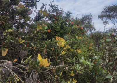
On the way you will pass through the remains of extensive woodlands that once covered the more fertile soils. As the road climbs the gentle slope to the old Elverdton mine and associated former townsite of Desmond, the woodlands give way to a thick mallee and heathland vegetation complex, typical of the lower slopes of the Ravensthorpe Range.
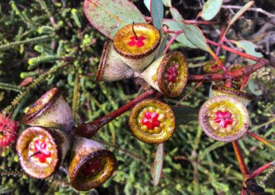
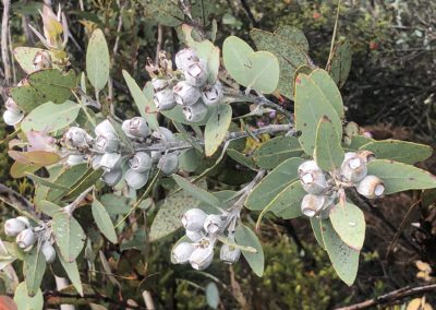
Mt Desmond is the highest bit of the Range in this area and along the road are fine specimens of the somewhat straggly Desmond mallee (Eucalyptus desmondensis) — one of the many plants known only from the Range and nearby. As you approach the top of the rise, take Elverdton Rd on the left to go up and over the Range. Drive for about 1.6 km then turn left into Ethel Daw Drive, which is just beyond where Elverdton Road crosses the highest spot of what is admittedly a very low range. This road junction is in the midst of one of the best stands of the beautiful bell fruited mallee (Eucalyptus priessiana) in the area and is a spectacular site when flowering.
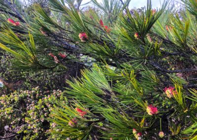
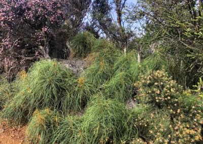
A short drive along Ethel Daw Drive, past a myriad of plant species, brings you to the lookout. The laterite gravels on top of the Range are a favoured soil for the bell fruited mallee and the ‘long haired’ Dryandra foliosissima. Close to the lookout is the red flowering Ravensthorpe bottlebrush (Beaufortia orbifolia) and a rich mix of hoveas, hakeas and other delightful small shrubs.
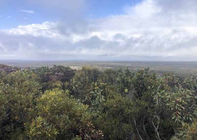
From the lookout, on a clear day, you can see south/south-west down the Steere River valley to the Fitzgerald River National Park. Looking to the north, from near the Ethel Daw Lookout, are views to the edge of the Great Western Woodlands. You are standing in the middle of the most significant area for ecological connectivity in southern WA: the last wildlife habitats that still connect the Great Western Woodlands and inland Australia, through the Fitzgerald River National Park, to the wetter, forested corner of the South West. This narrow belt of wildlife habitat is of critical importance as climate change hits and species shift their range to meet the changed conditions. But the Ravensthorpe Range and Steere Valley are unprotected, mainly because some of the rocks are mineralised and may have economic value.
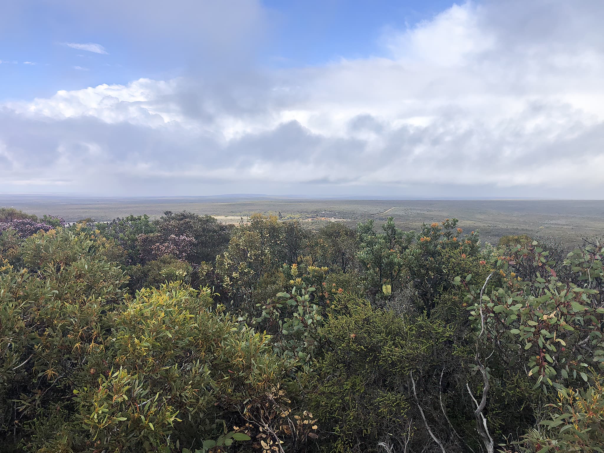
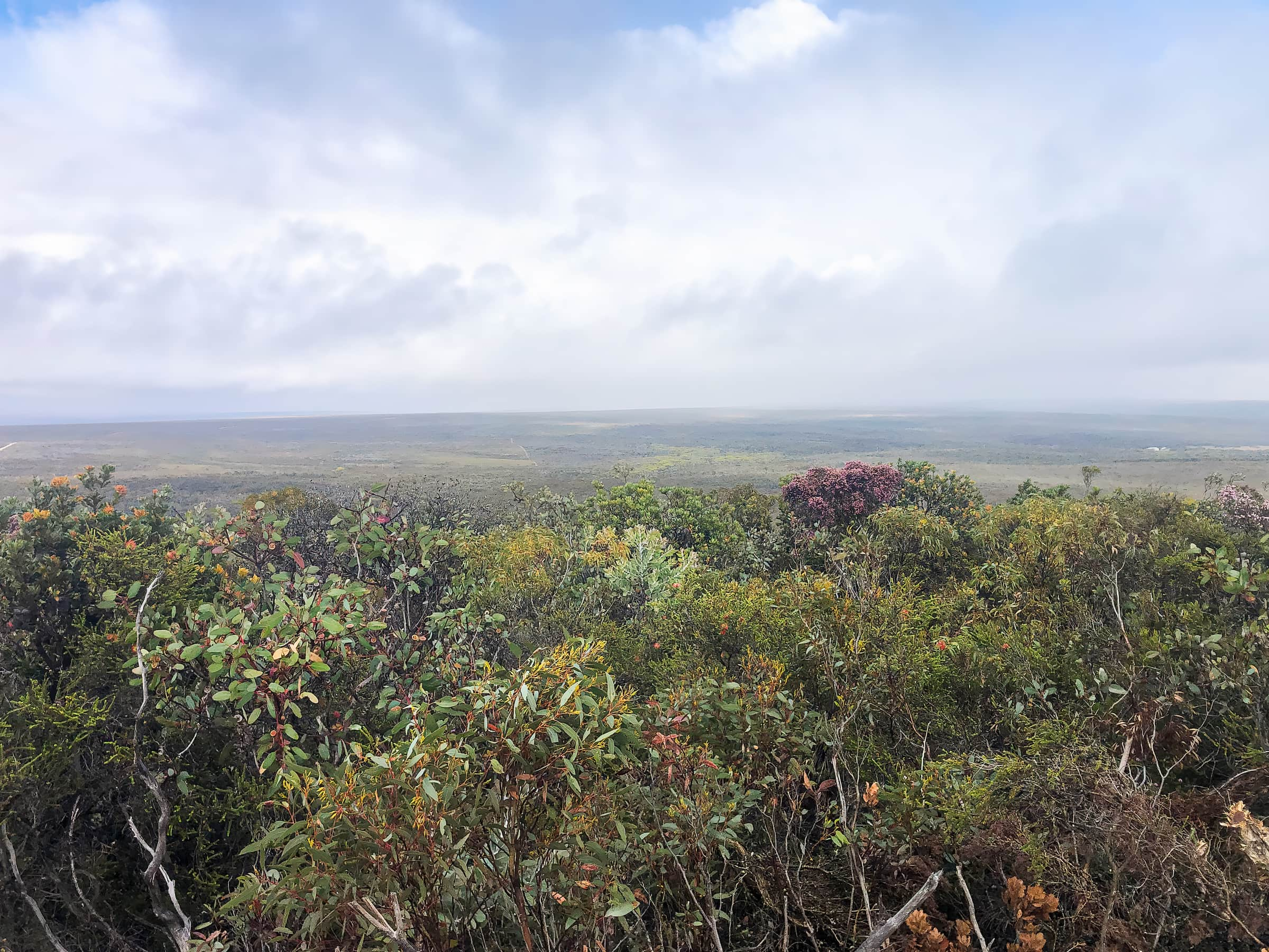
Immediately south-west of the lookout you can see one of the old mines, the Elverdton copper mine, which operated through the 1960s. Tragically, its mound of mine tailings has been sitting unmanaged since then and has washed many kilometres down the otherwise healthy river system, drowning the vegetation in a sea of mud over a metre deep in many places.
On Ethel Daw Drive, about halfway between Ethel Daw Lookout and the junction with Elverdton Road, is a walk trail to the north that takes you along the ridge. A few hundred metres along the trail, you pass through a small grove of warted yate trees (Eucalyptus megacornuta). This plant species is endemic to the Ravensthorpe area, but it’s also part of an evolutionary trail of related species growing on other special soil islands through to south of Koi Kyenunu-ruff (the Stirling Range). Close relatives include Eucalyptus burdettiana, E. newbeyi and E. talyerbulup – all reminders that this part of the world is not only incredibly rich in plant species but also long-term evolutionary processes. It’s a treasure-trove of biodiversity that needs the highest level of protection and management.
Further information:
Watch Gondwana Link’s short video Ravensthorpe – Wonderland of Plants (2 min 30): Professor Kingsley Dixon calls for Ravensthorpe’s extraordinary plant richness to be protected – a concern shared by eminent local leader Merle Bennett from the Ravensthorpe Regional Herbarium.
Directions
Travel directions to Ethel Daw Lookout:
- Route one: From Ravensthorpe take the Hopetoun-Ravensthorpe Road and drive for about 10 km. Turn left onto Elverdton Road and drive up and over the Range for about 1.6 km, then turn left onto Ethel Daw Drive. This turn-off is just after Elverdton Road crosses the high point of the Range. Continue driving to the lookout.
- Route two: Ethel Daw Drive can also be accessed from the South Coast Highway to Esperance. Leaving Ravensthorpe, drive for about 13 km and turn right onto Elverdton Road. Drive for about 3 km, then, just before the crown of the Range, turn right into Ethel Daw Drive. Continue driving to the lookout.
Along Ethel Daw Drive, about halfway between Ethel Daw Lookout and the junction with Elverdton Road, is a walk trail that takes you along the ridge.
Facilities
There are no facilities at Ethel Daw Lookout.
Responsible Tourism
Many of the plant species at Ethel Daw Lookout and along the Ravensthorpe Range are highly susceptible to the introduced dieback pathogen Phytophthora cinnamomi – a soil-borne water mould. As Ethel Daw Drive is a gravel road, please take extra care to follow the Dieback Hygiene Guidelines, including ensuring your footwear is clean of mud and dirt and by staying on the road and walk trail. Help protect the biodiversity and beauty of this special place by taking all rubbish with you and leaving what you find as you found it, including rocks, plants and natural objects.

