There are no places matching your filters, try removing some filters.
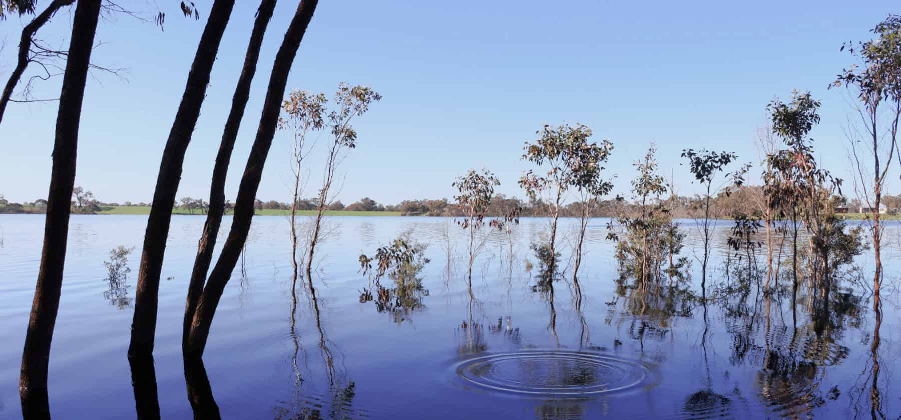
Lake Nunijup
Nunijup is said to mean place of many snakes, a descriptive name back when this was a special meeting place for the Kaneang people of the Noongar nation.
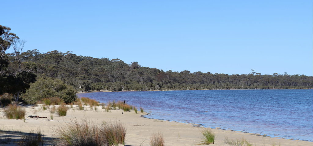
Lake Poorrarecup
Lakes, wetlands and rivers are a window into the health of the broader landscape, and Lake Poorrarecup is no exception, it has seen many changes in fortune over the past century.
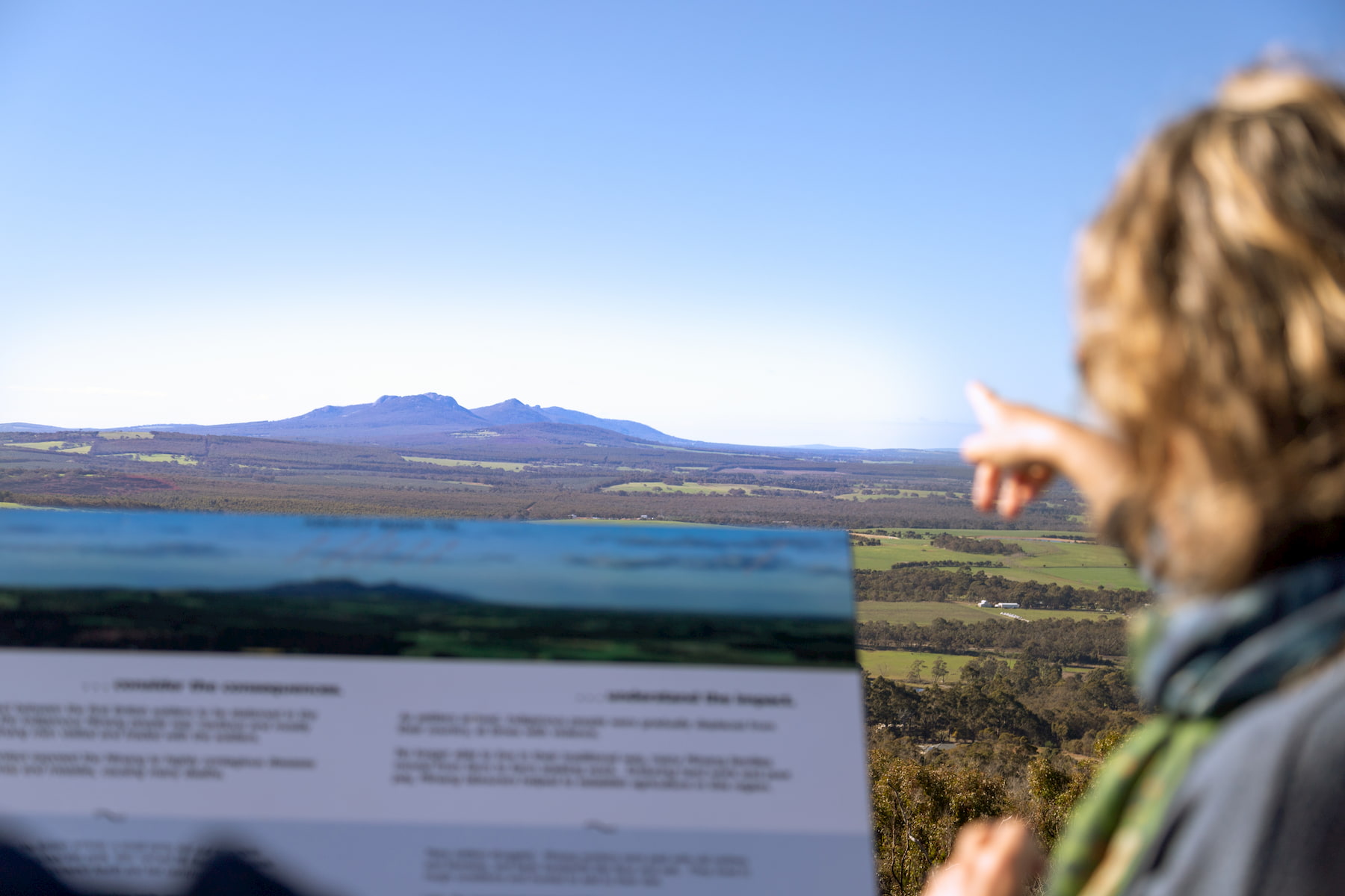
Pwakkenbak / Mt Barker Lookout
At 404m above sea level, this lookout provides a commanding view over the entire region, including both the Stirling and Porongurup mountain ranges.
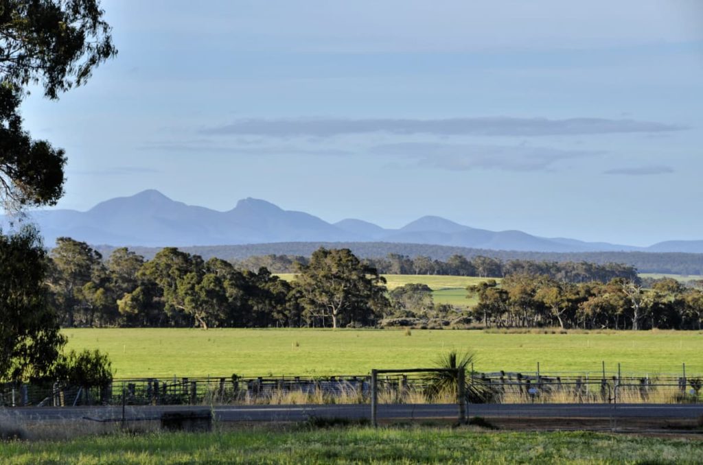
Porongurup Road
Porongurup Rd takes you to the base of the spectacular and ancient Porongurup Range, which is mostly protected in a National Park, also with beautiful views of the Stirling Range.
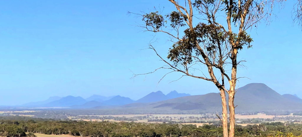
Sukey Hill lookout
From Sukey Hill you’ll find a spectacular view of the western end of Koi-Kyeunu-ruff (or the Stirling Ranges). But the hill itself is actually a remnant of the original, ancient mountain range.
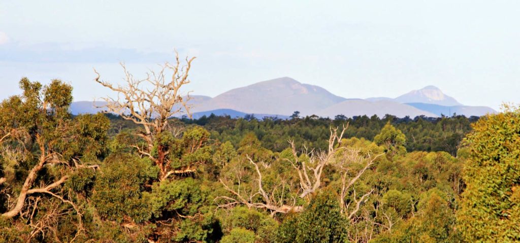
Balijup Farm and Fauna Sanctuary
Balijup Farm has been farmed by the Hordacre family since 1923.
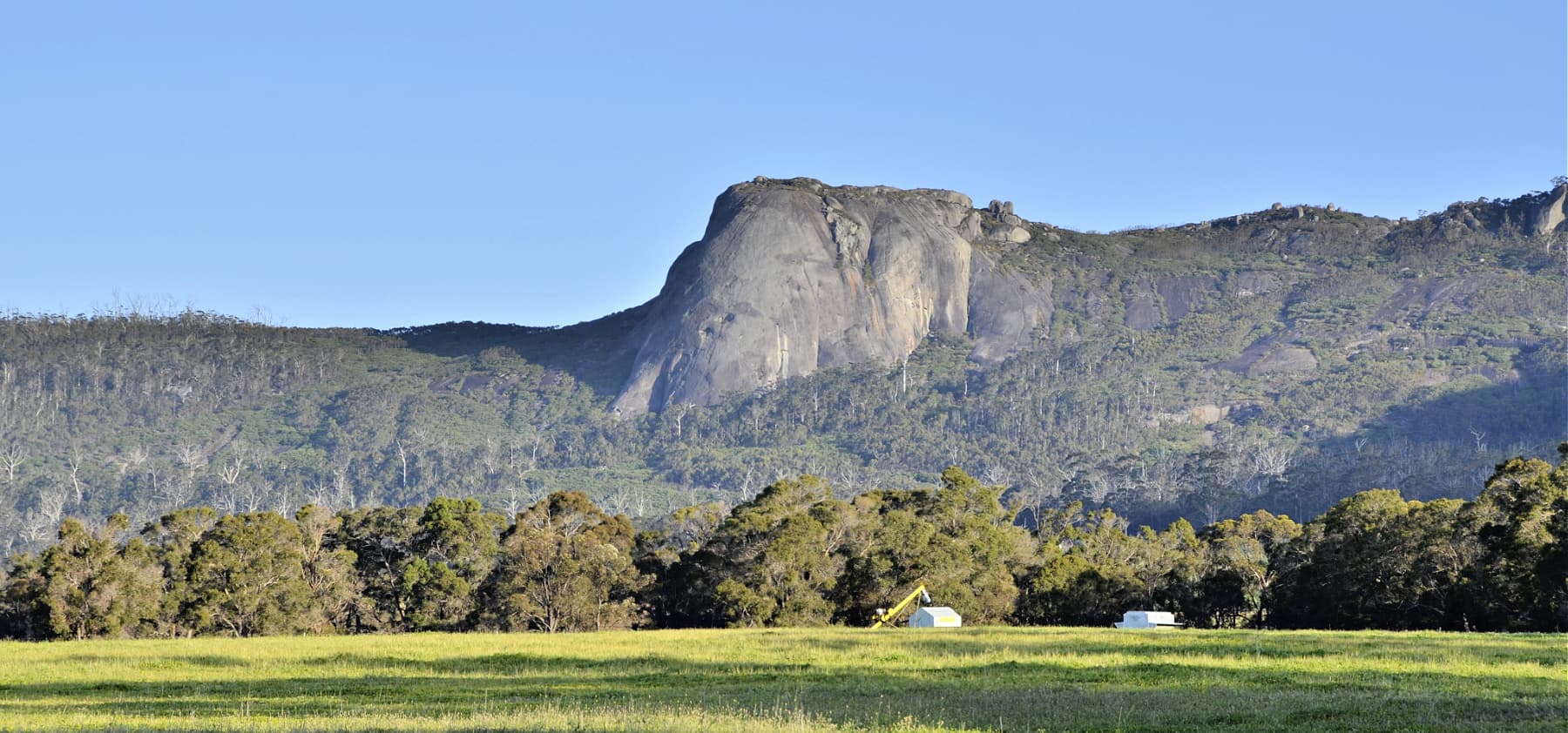
Castle Rock and Walitj Meil trail
The Castle Rock Granite Skywalk and ground level Walitj Meil walk trail are in the Porongurup National Park.
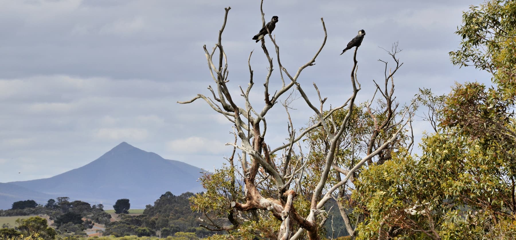
Chester Pass Rd viewpoint
This is just a small gravel roadside stop with views of Koi-Kyenuruff (Stirling Ranges) and across farmland.
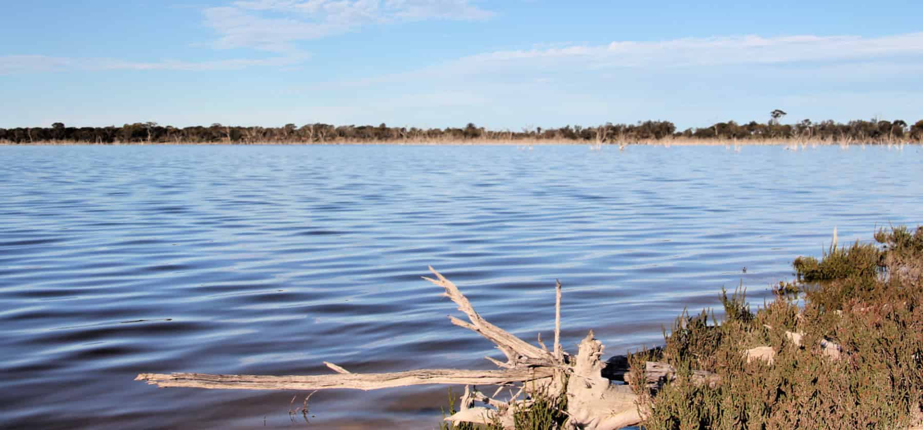
Lake Ewlyamartup
Located 18km east of Katanning on the Nyabing Rd is a treasured recreation site for the local community, as well as a haven for birds.
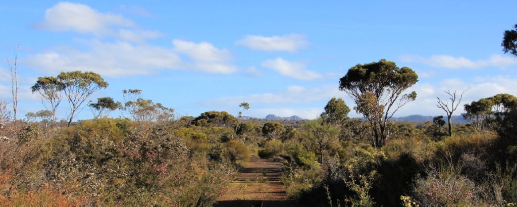
Twin Creeks Conservation Reserve
Nestled between the Porongurups and Stirling Ranges, Twin Creeks is a community owned conservation reserve - purchased and managed by the Friends of the Porongurup Range.
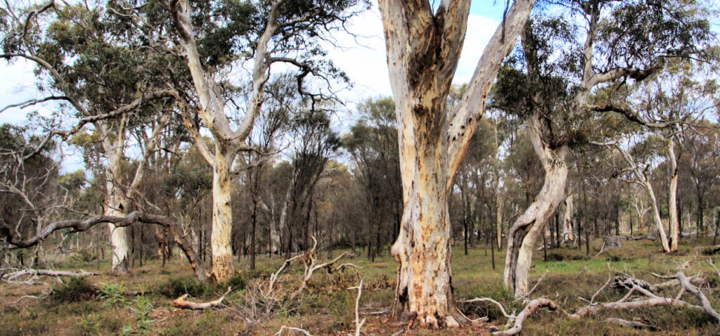
Twonkup
Known to the Noongar community as Dwangup, this is a very significant cultural site and a registered Aboriginal heritage site.
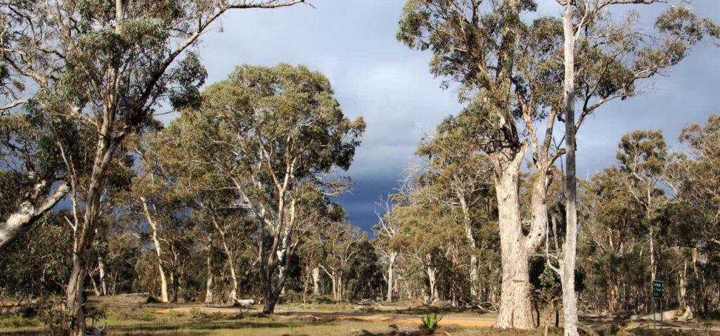
Warrenup Reserve and Kenny's Tank
Within a beautiful stand of mature wandoo woodland is the Warrenup wetland, within the Warrenup Reserve. Kenny’s Tank is an old well next to the wetland that is just a short walk off the road.
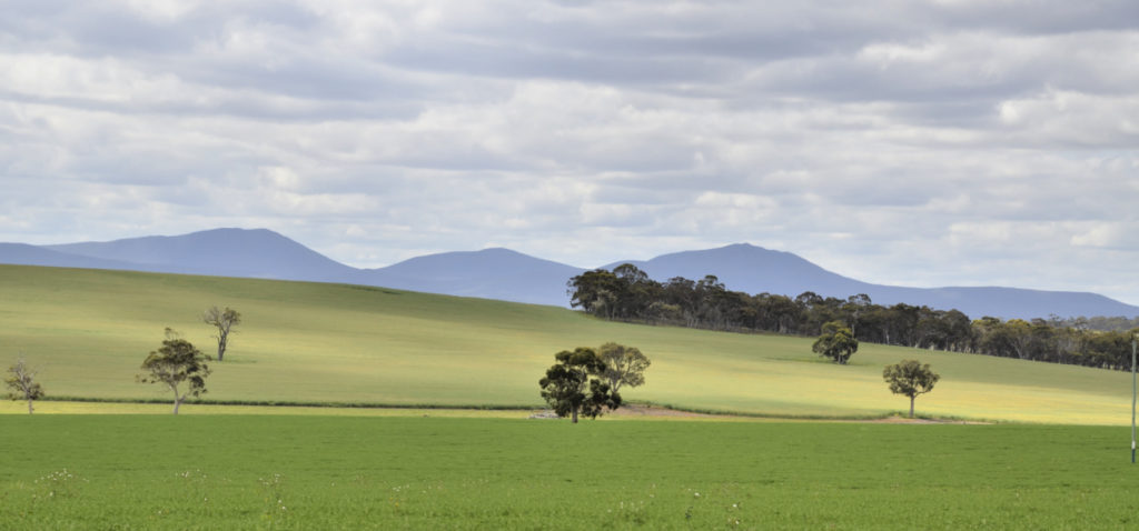
Woogenellup Road
This drive from Pwakkenbak and Mt Barker takes you out into some very scenic farm land, with the Stirling Ranges as your ever-present backdrop.
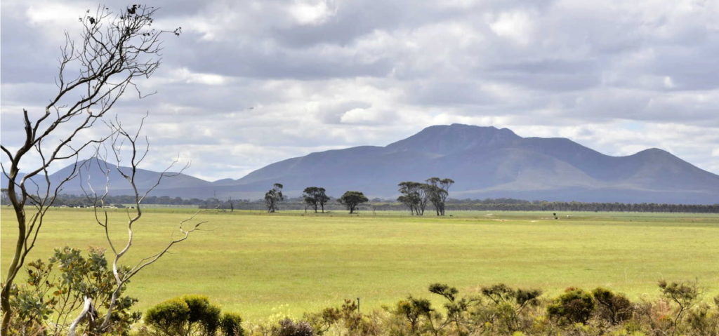
Woogenellup Rd - North
This scenic drive option takes you off the bitumen onto a good quality gravel road that takes you up close to the southern side of the Stirling Ranges.
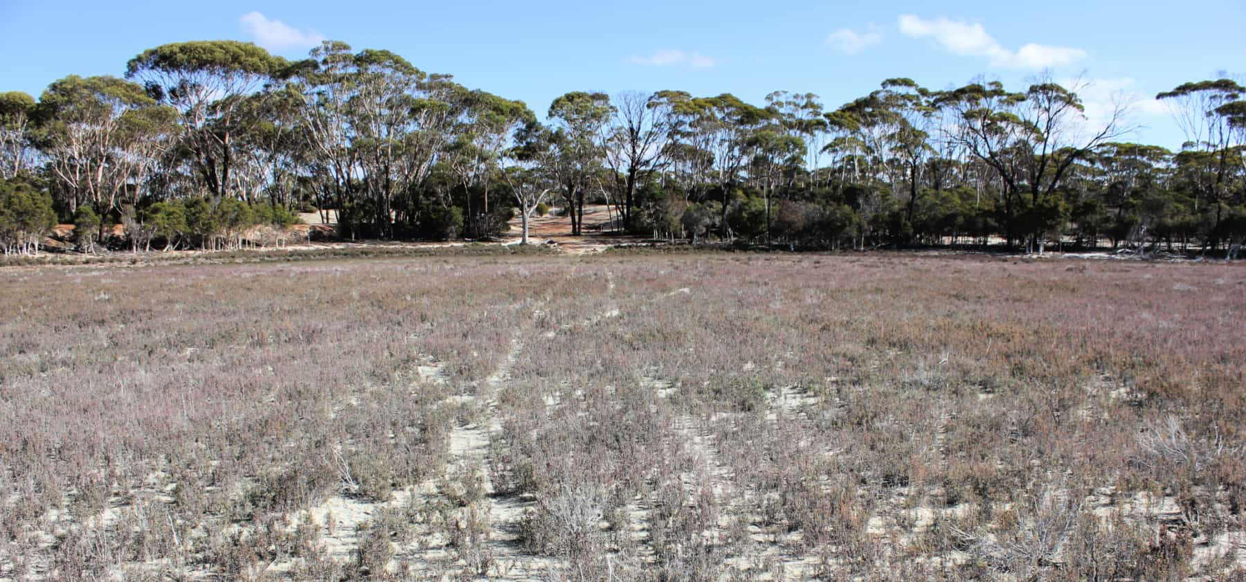
Lake Bryde
Lake Bryde is a rarity - an ephemeral wetland in the Wheatbelt that has not turned saline. It also hosts some rare plant communities.
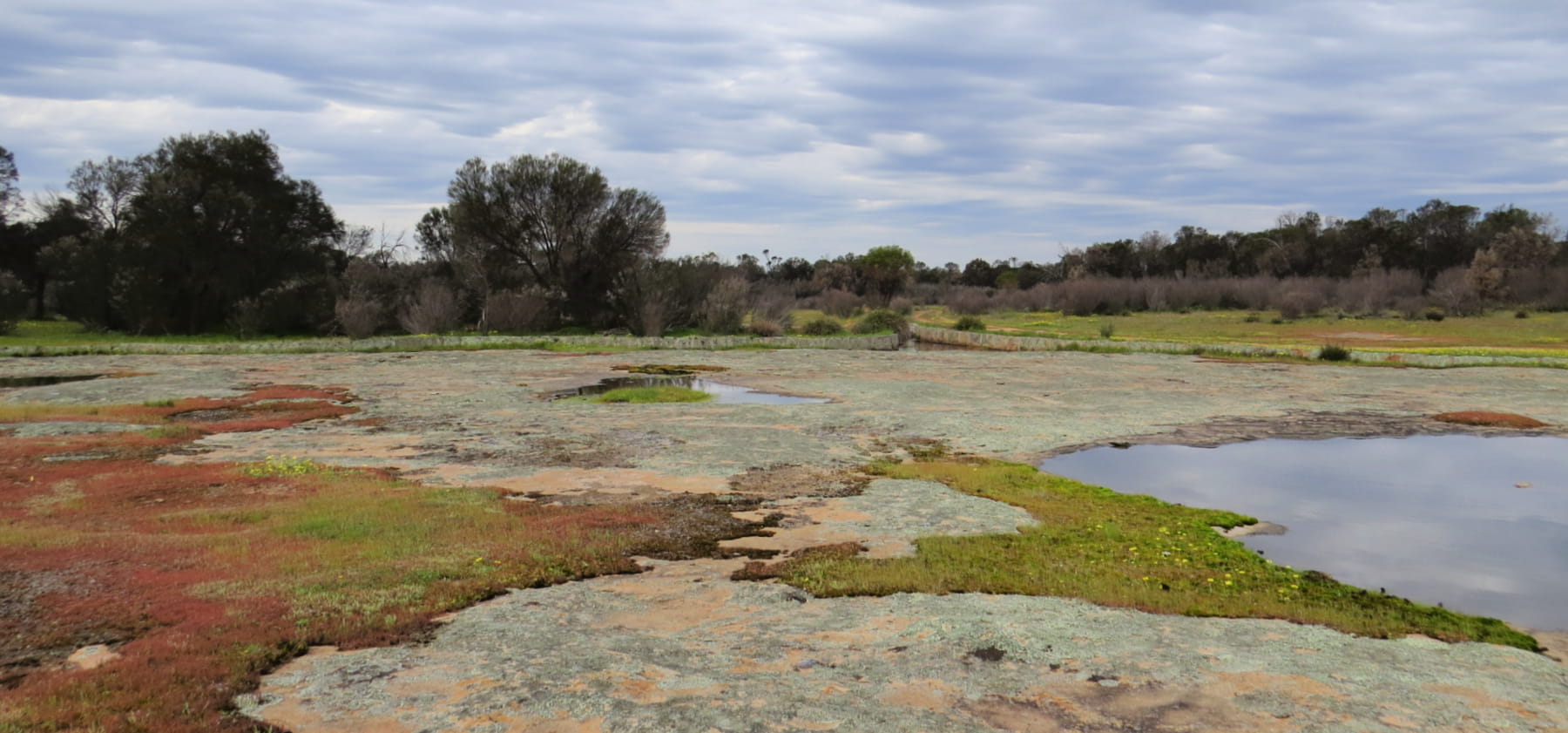
Holland Rocks
This is a remarkable place to witness the effect on the landscape of natural forces and human intervention over time.
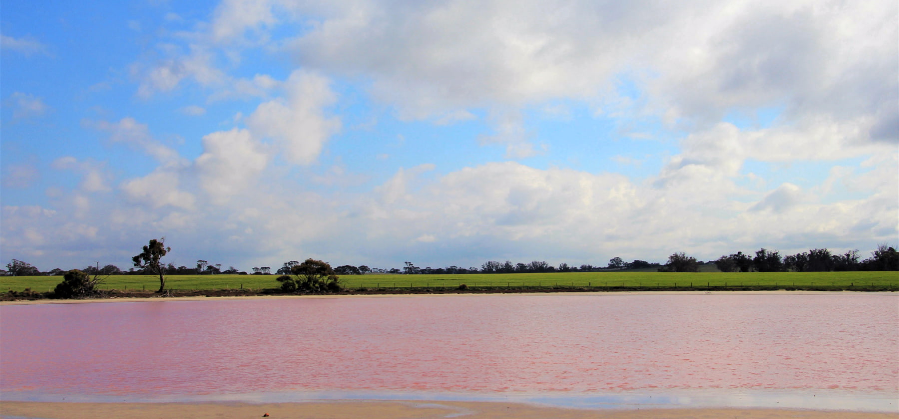
Pink Lake
Small but picturesque pink lake next to the road - there's nowhere to stop so admire it as you drive past on Great Southern Highway.
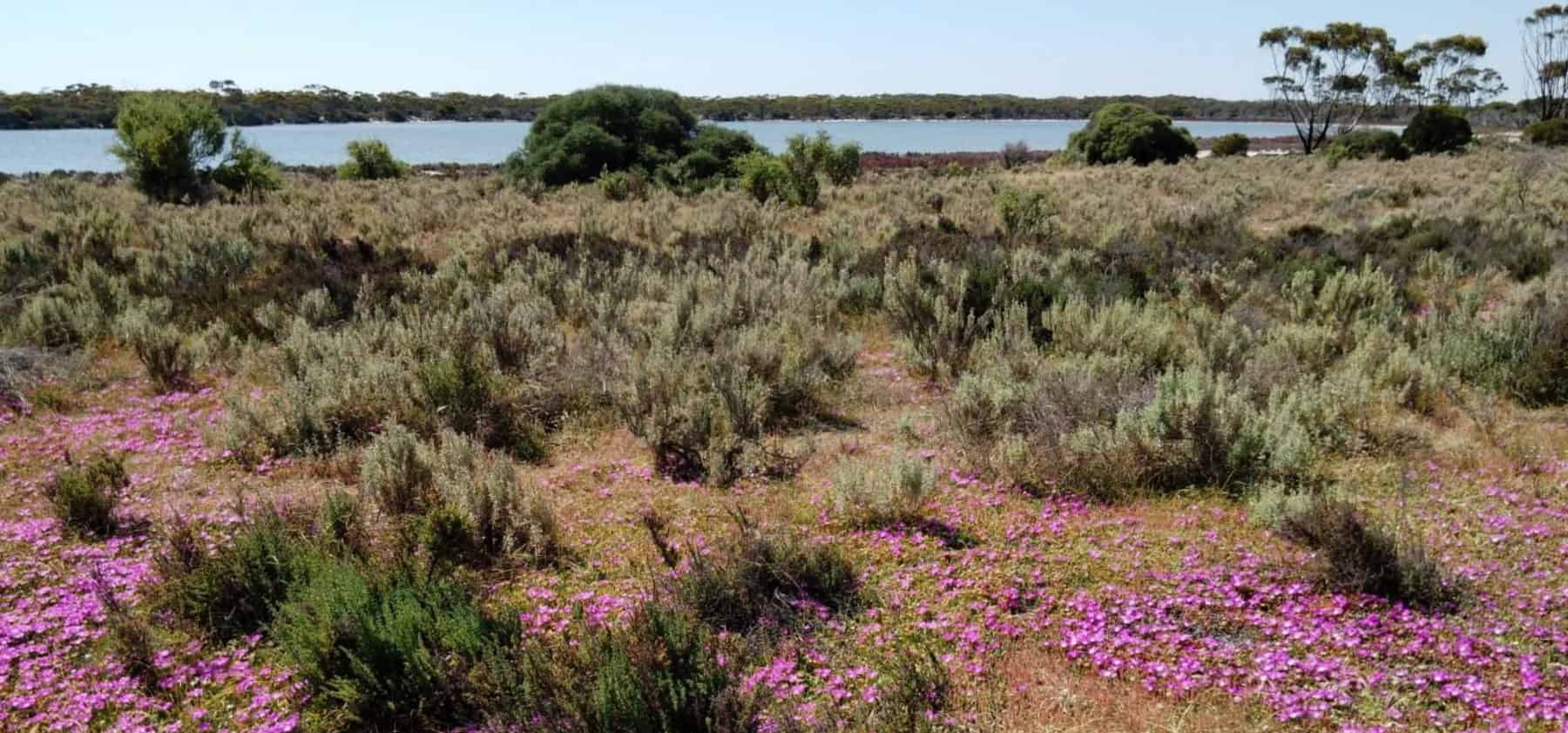
Chinocup Lake System
The Chinocup Lake system is at the tail end of an ancient Amazon scale river system that once flowed through the Wheatbelt.
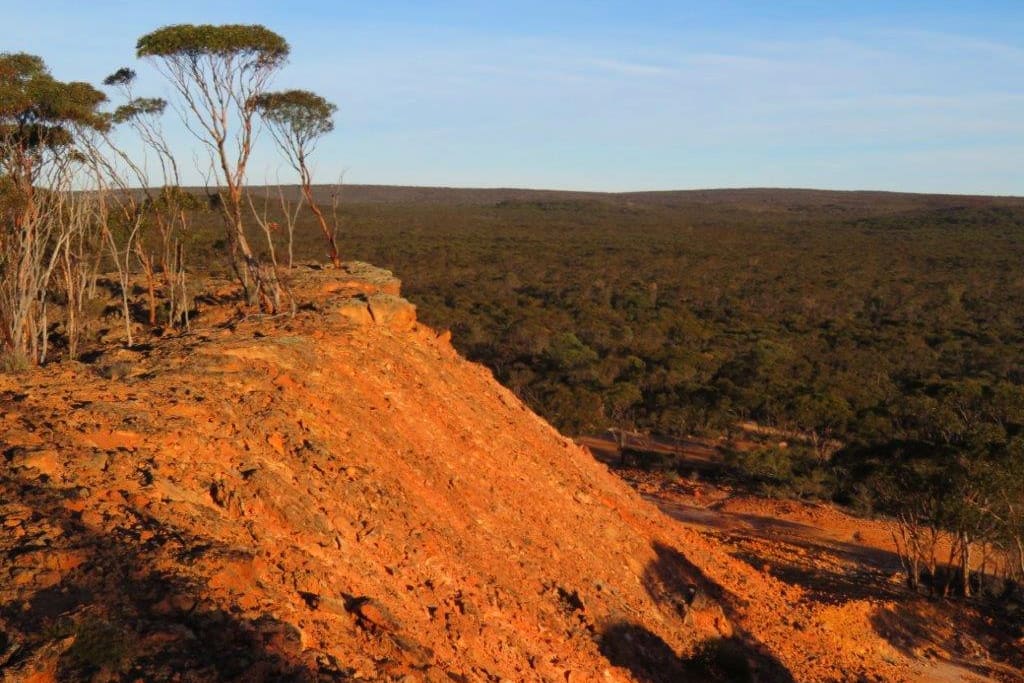
Nowanup
Nowanup is a special place. A centrepiece of ecological restoration in the Gondwana Link, it is also a centre for the Noongar community for healing country and healing people.
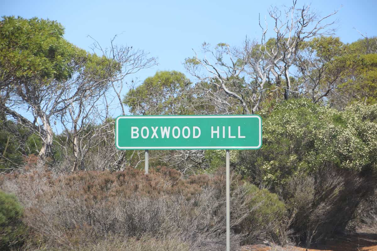
Boxwood Hill crossroad
The intersection on South Coast Highway that leads to the Fitz-Stirling area.
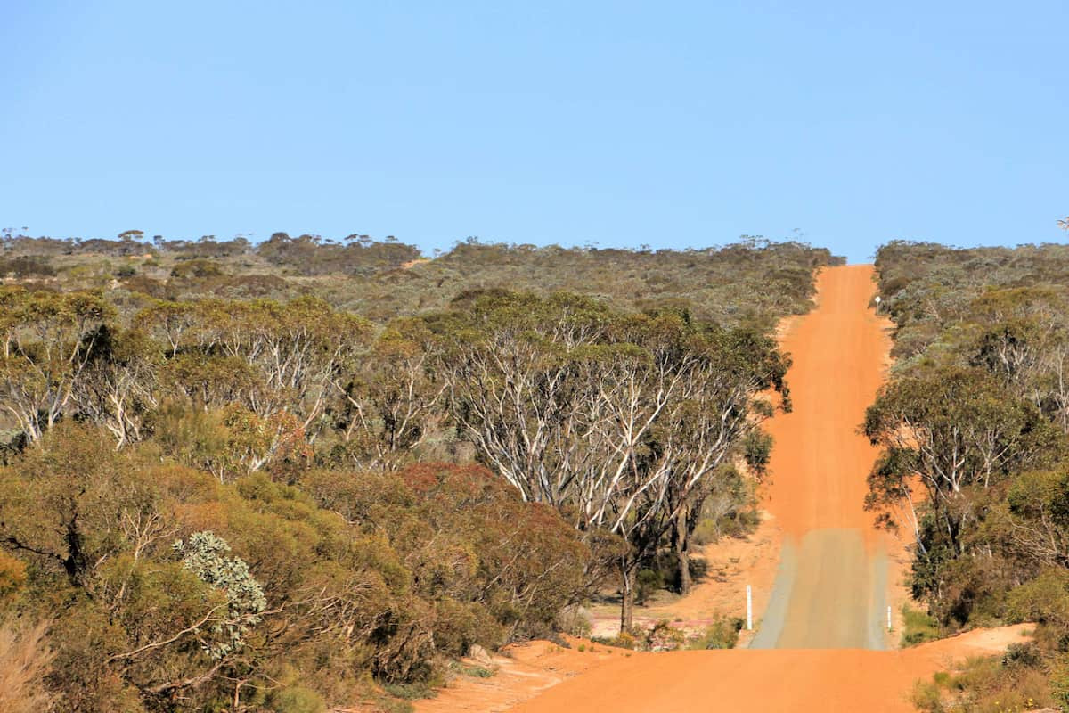
Boxwood Hill - Ongerup Road
This first stretch of road will take you into the heart of one of Australia’s most important ecological restoration areas.
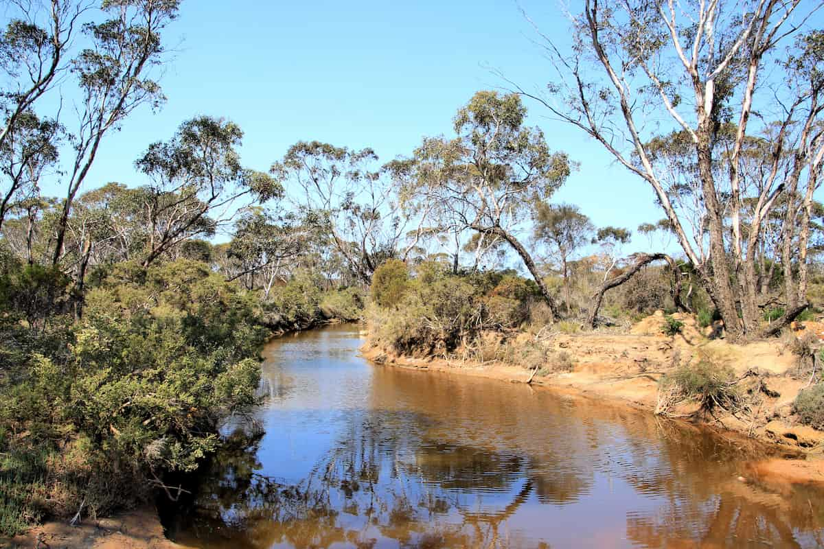
Chingarrup Creek Crossing
All the brooks and creeks in this area are tributaries of the Pallinup River, the largest river system on the South Coast.
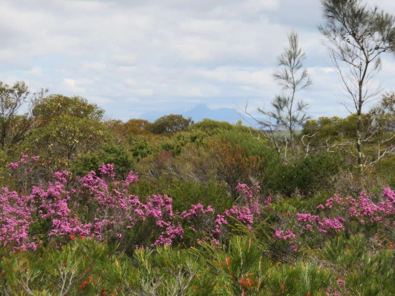
Chingarrup Sanctuary
Just to the north of Chingarrup Creek is Chingarrup Sanctuary the very first property purchased for ecological restoration as part of the Gondwana Link program, back in 2002.
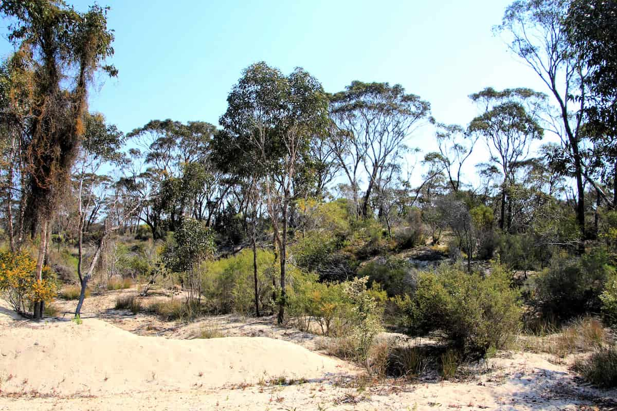
Corackerup Creek Crossing
Like nearby Chingarrup Creek, Corackerup Creek is also deeply incised into the surrounding landscape, and is part of a substantial sub-catchment of the Pallinup River.
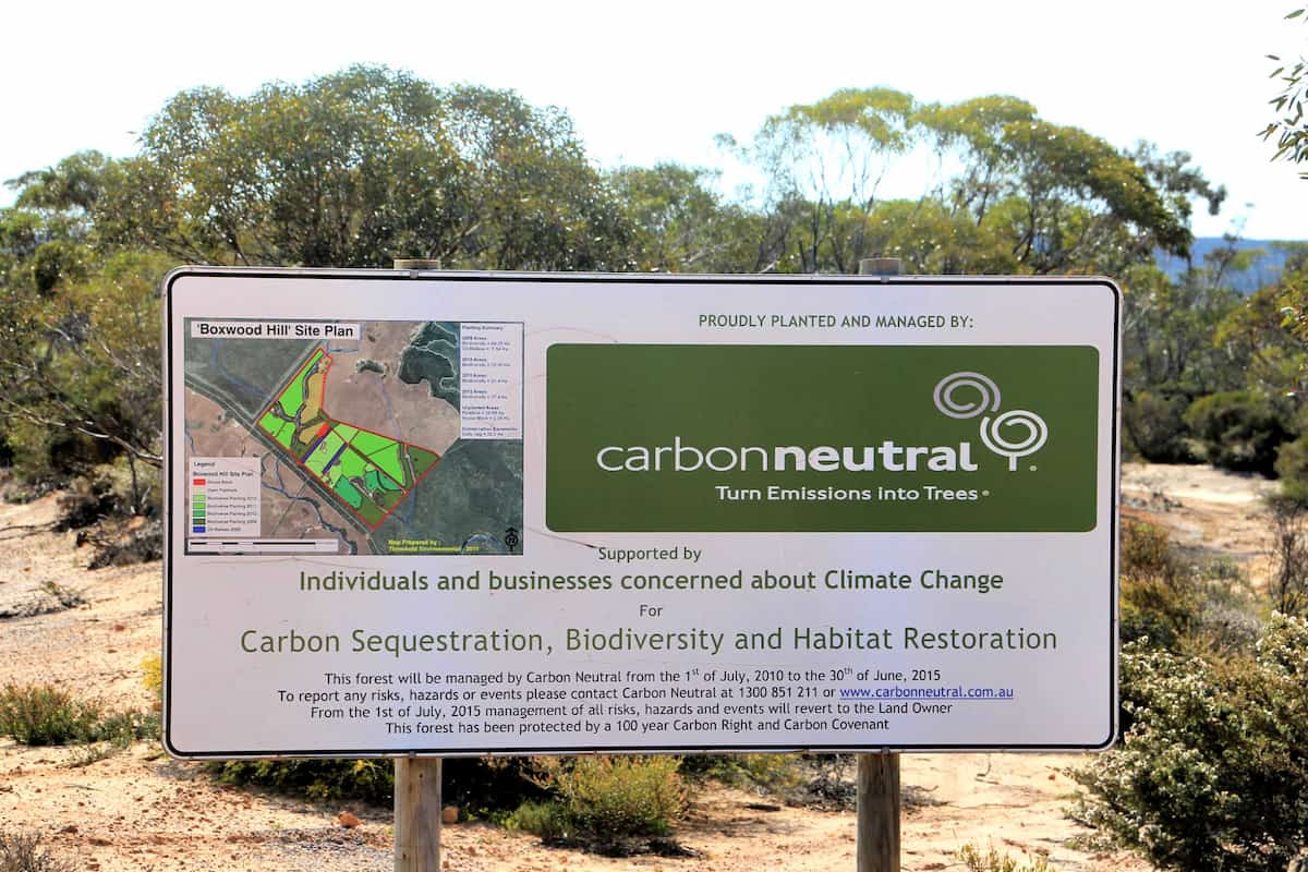
Carbon Neutral restoration site
This property was purchased and replanted for ‘Carbon sequestration, biodiversity and habitat restoration.’
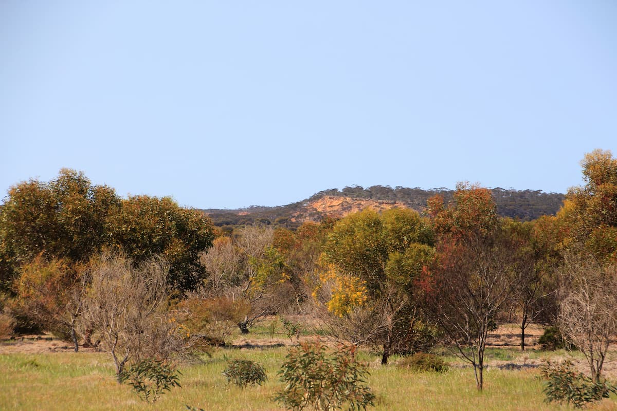
Norman's Road
The pullover area adjoins the now privately-owned conservation property that was initially restored by Carbon Neutral. The Corackerup Nature Reserve is over the road.
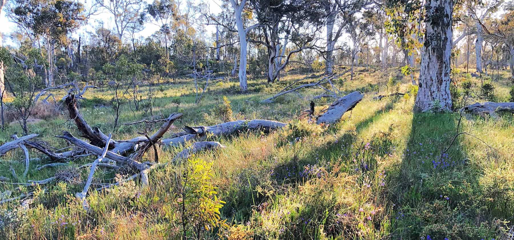
Myrtle Benn Reserve
Many vegetation types, wildflowers and orchids to find here - with signposted walk trails to guide you.
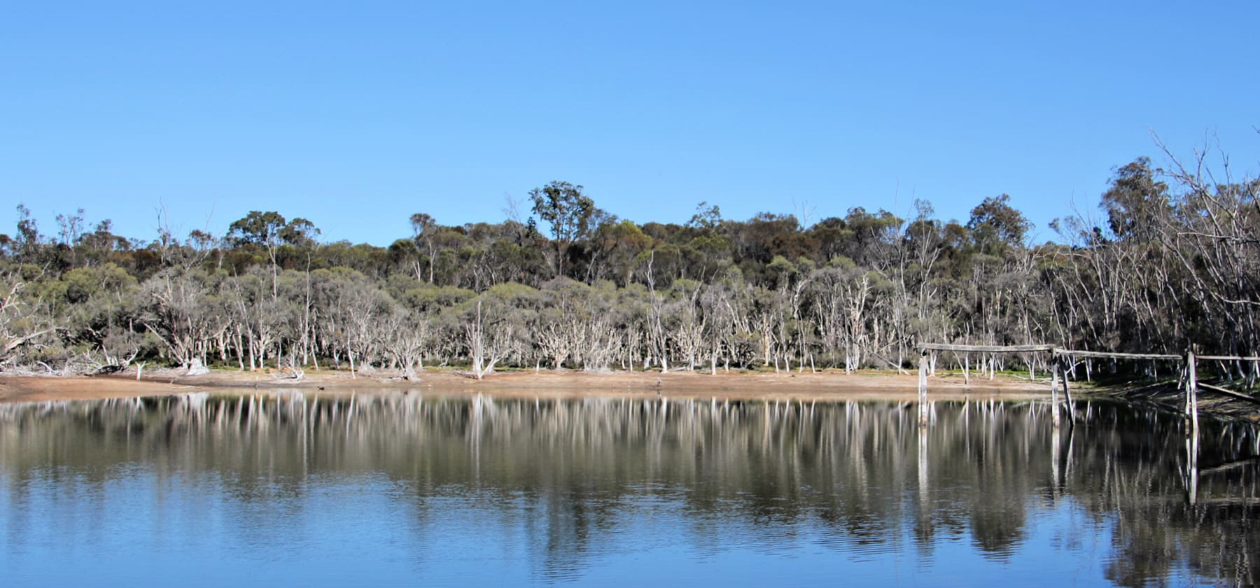
Farrar Reserve
Open woodland makes it easy to wander through this reserve in search of wildflowers and orchids.
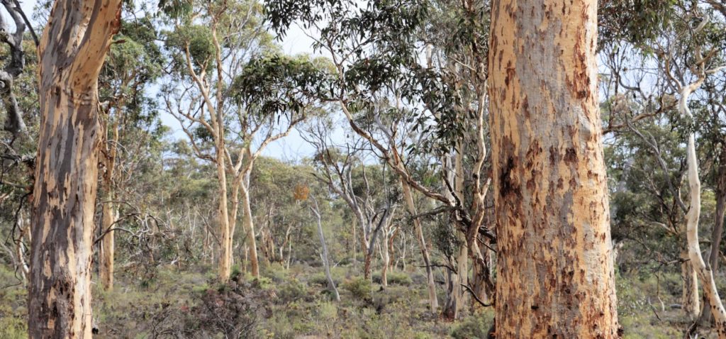
Wingedyne Nature Reserve
Diverse ecosystems abound in this healthy nature reserve.
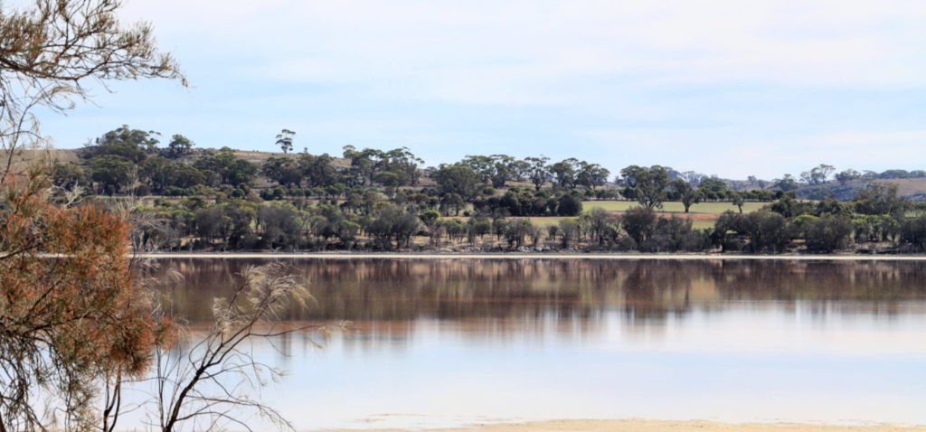
Lake Queerearrup
Queerearup lake has significant historical value for Woodanilling and was once a centre of recreation for the local community.
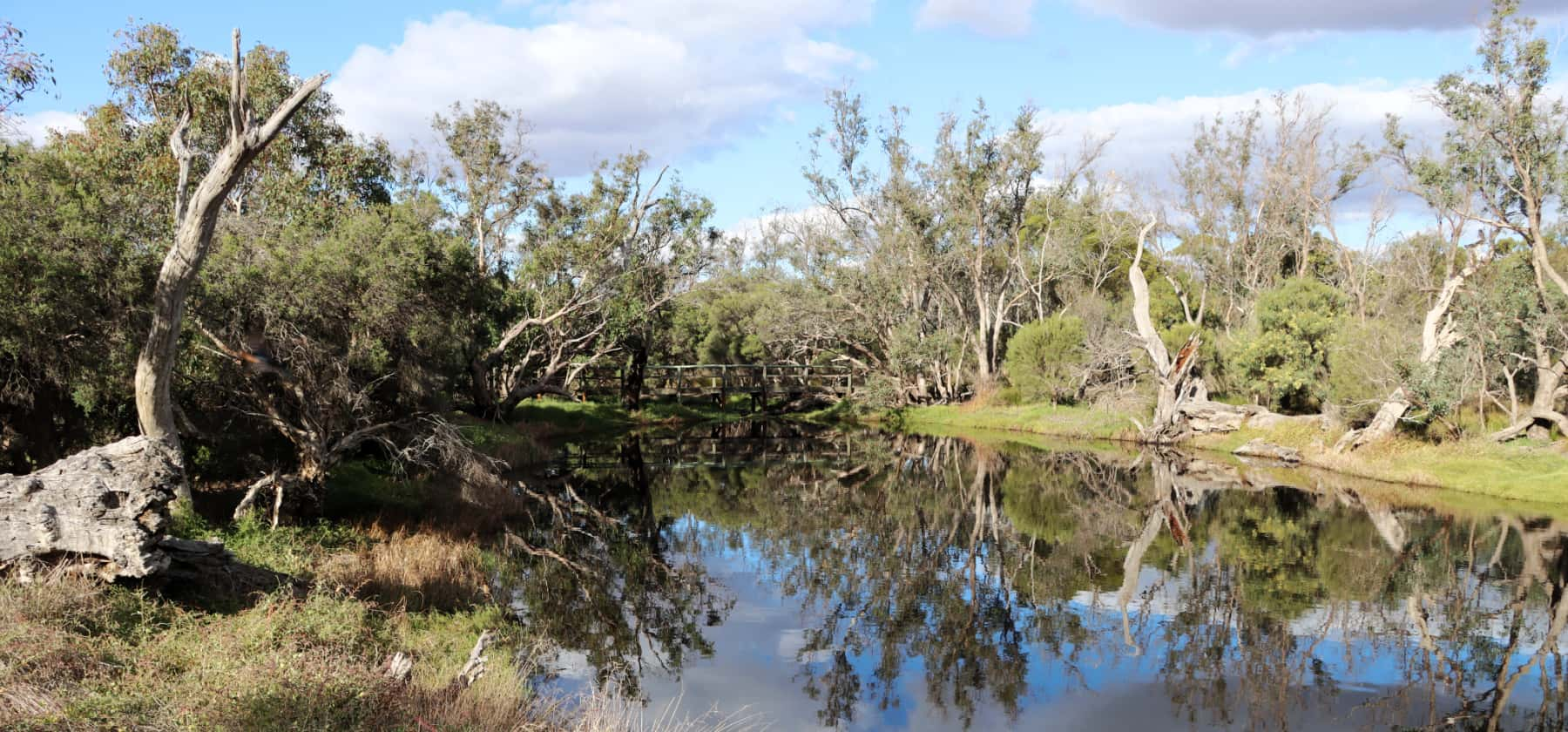
Twonkwillingup - Police Pools Reserve
Twonkwillingup was an important meeting place for Noongar people and is now a chain of wetlands - a haven for birds.
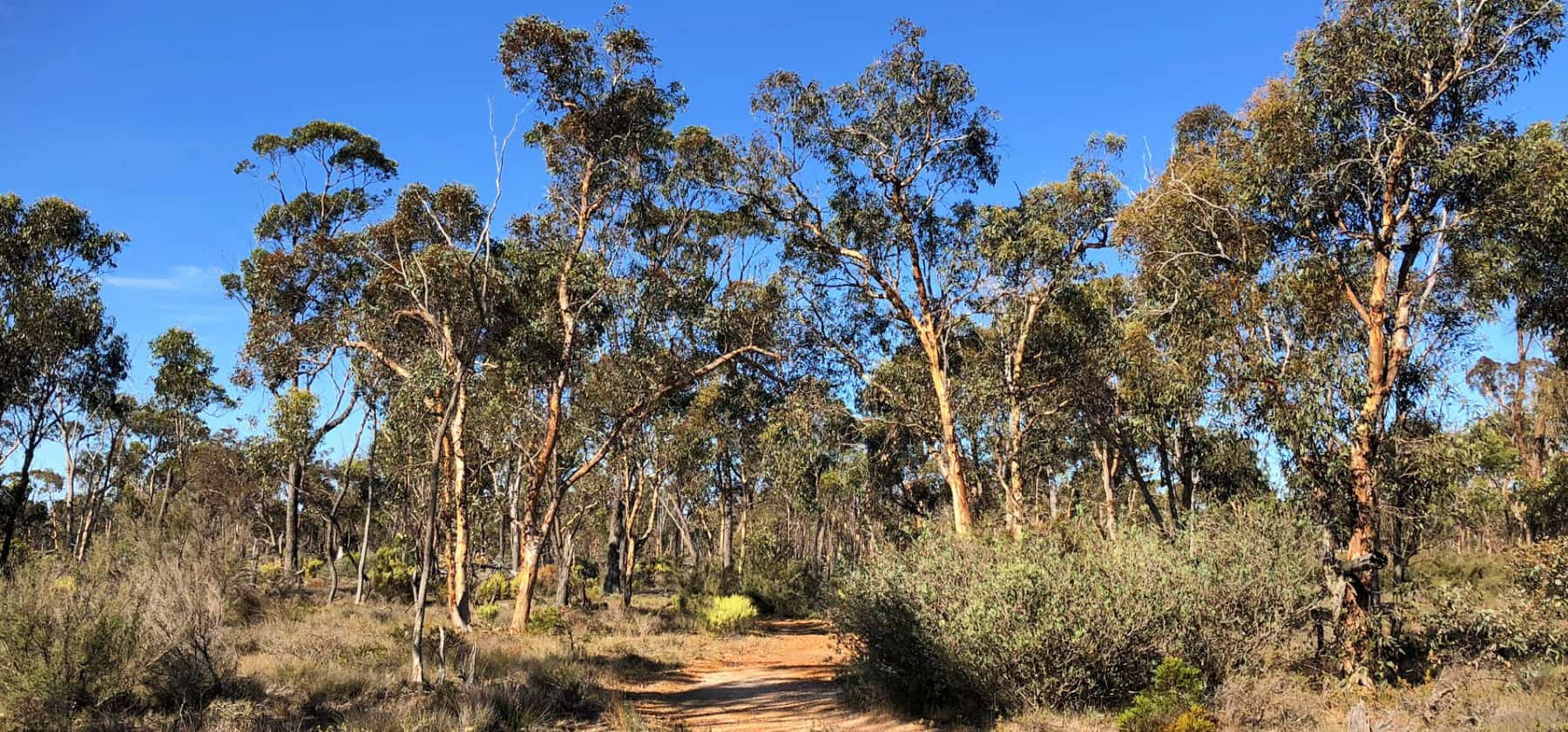
Cranbrook Wildflower Walk
Take this 1.7km walk through predominantly wandoo woodland in spring and be rewarded by many beautiful flowers and a number of spectacular orchids.
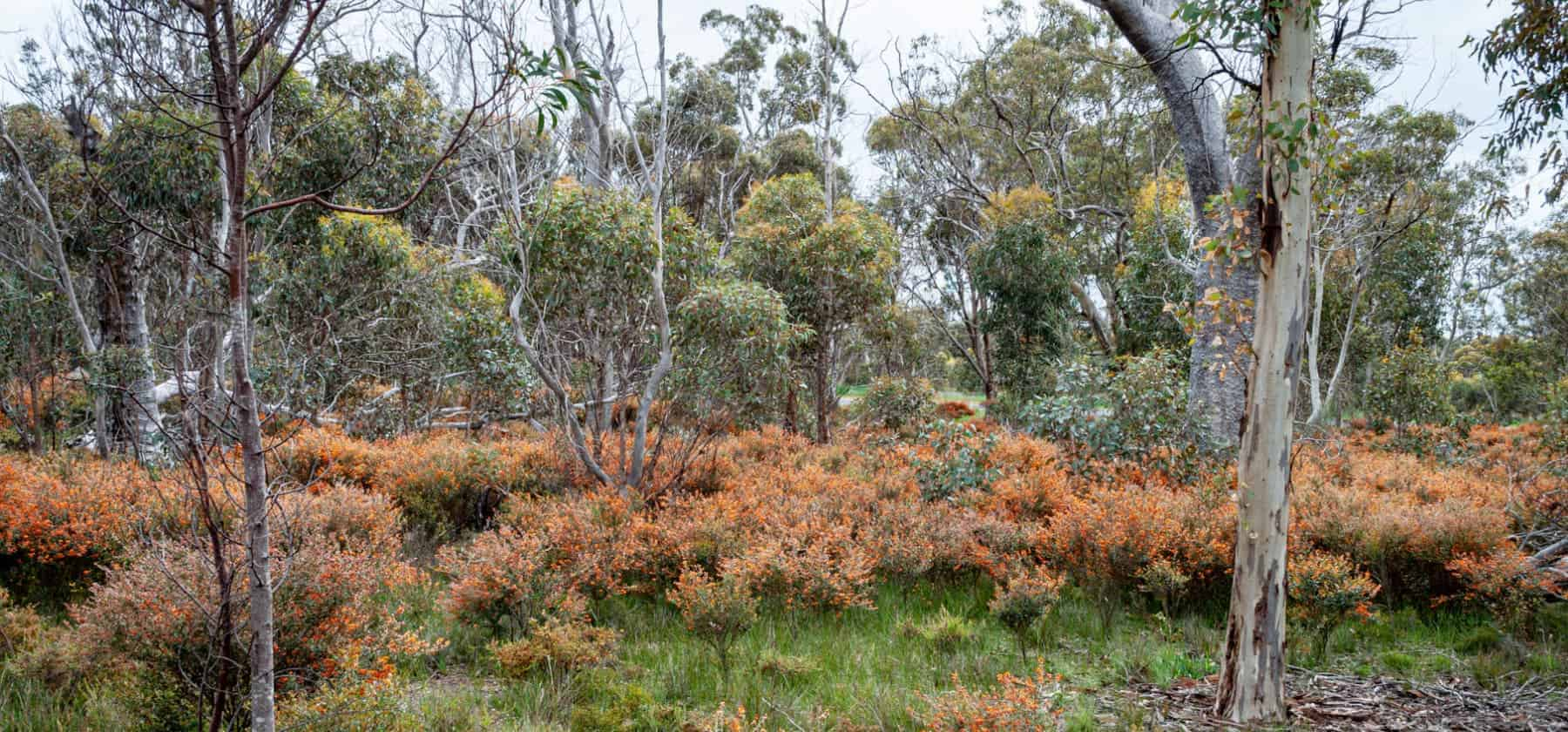
Boot Rock Reserve
Visit this small reserve just south of Broomehill in spring for wildflowers and orchids.
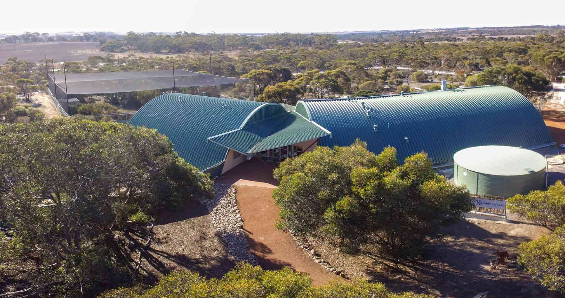
Yongergnow Malleefowl Centre
Yongergnow Malleefowl Centre is a wonderful multi-purpose facility dedicated to Malleefowl conservation and to local community development.
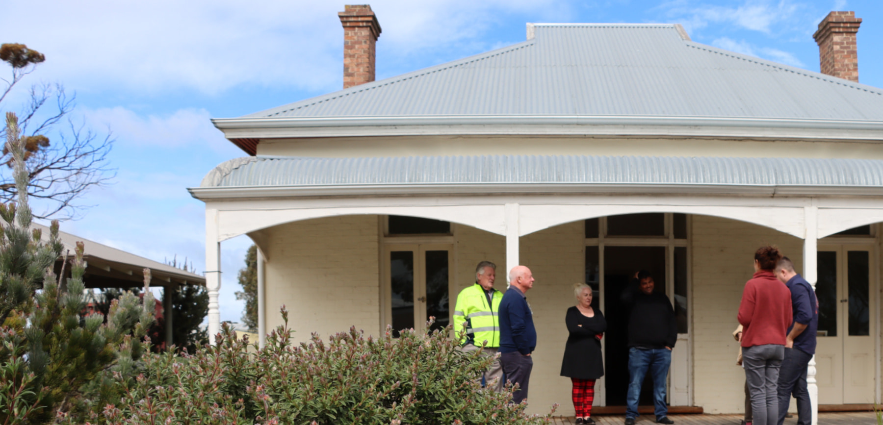
Ngowanjerindj Cultural Heritage Centre
Ngowanjerindj is the Goreng Noongar name for Gnowangerup and means place of Malleefowl. The Cultural Heritage Centre is run by the Gnowangerup Aboriginal Corporation and opened in 2013.
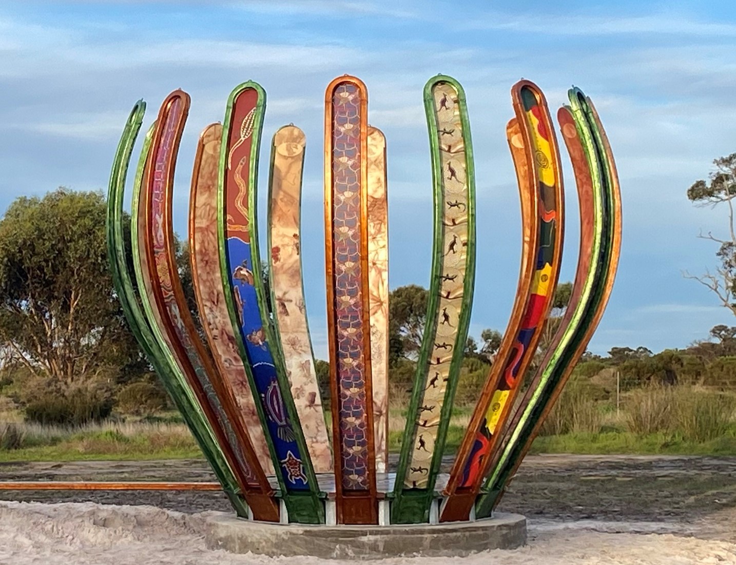
Gondwana Link Sculpture
The Gondwana Link Sculpture is on Knights Rd, on the Twin Creek Conservation Reserve. It is part of a broader Genestreams Songlines Sculptures Project.
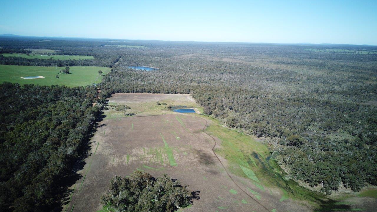
Tootanellup
Tootanellup is a property near Rocky Gully purchased for conservation by Green Skills, to contribute to the Gondwana Link vision.
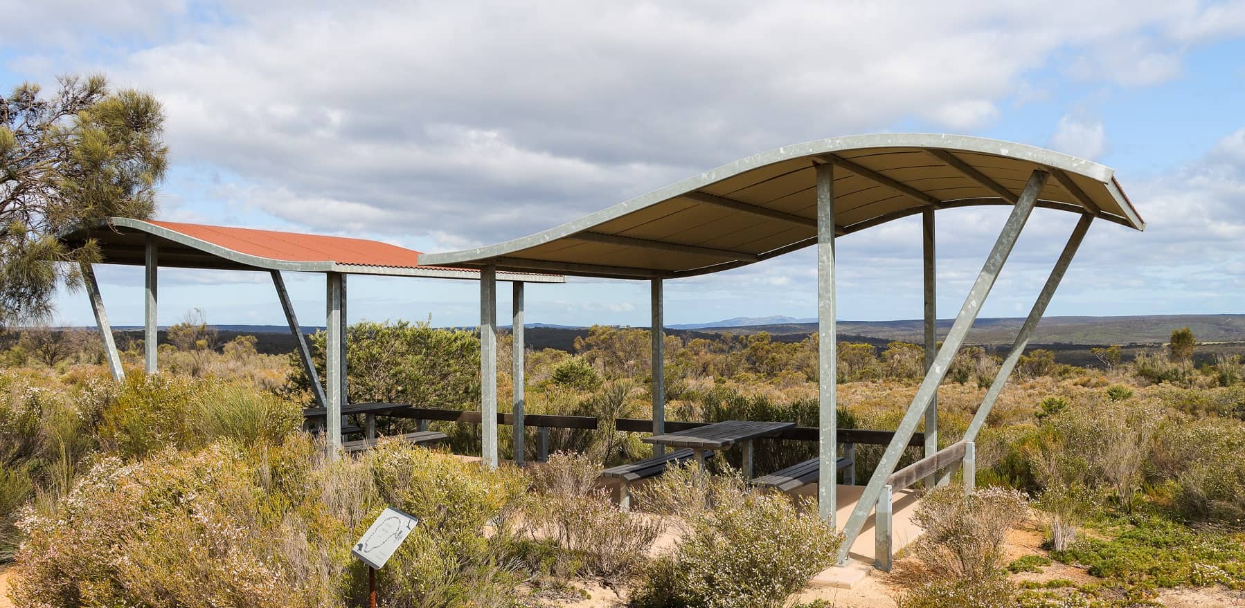
Kukenarup Memorial Site
Just off the highway is this moving memorial to a terrible massacre of First Nations people in 1880.
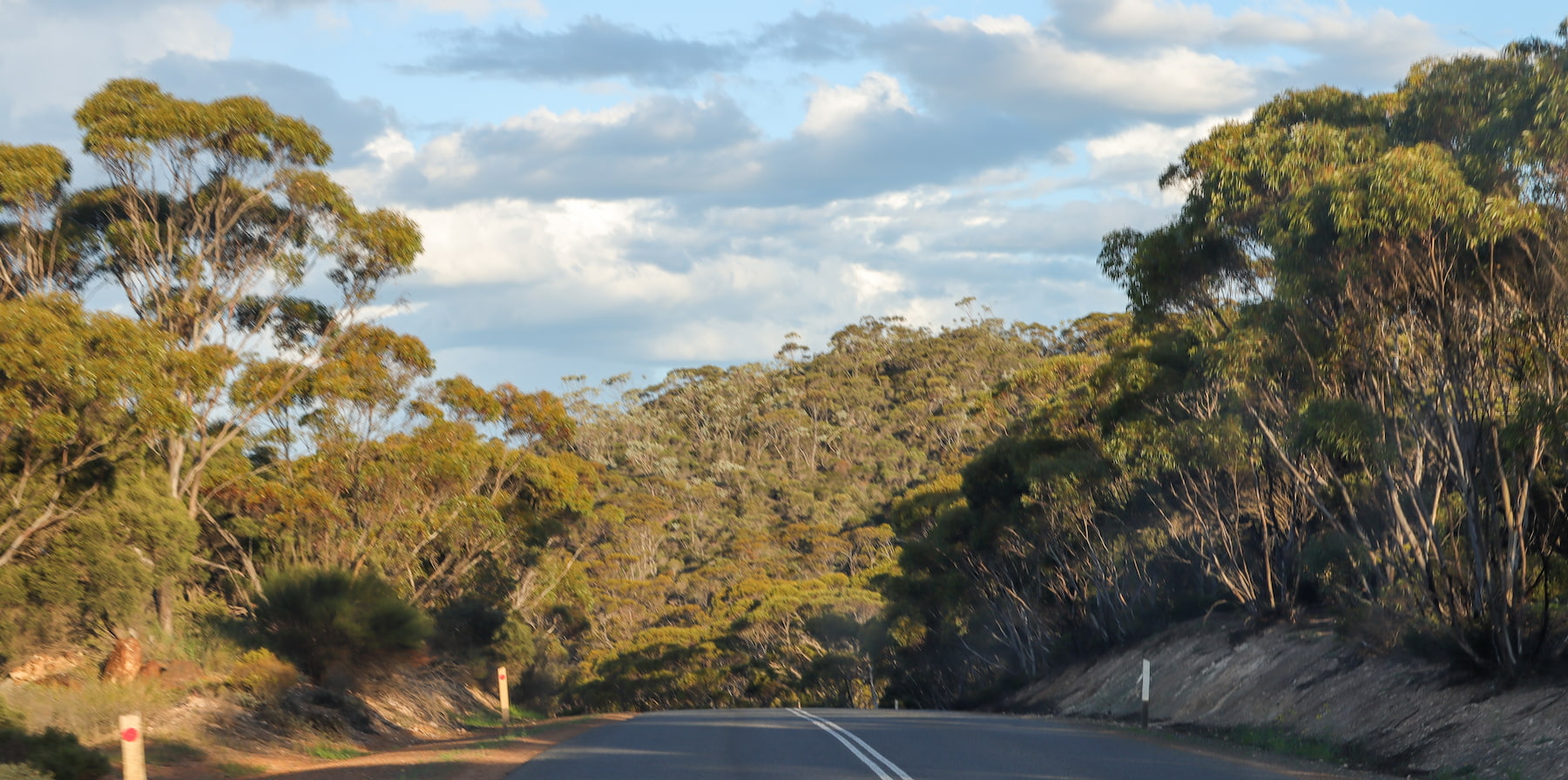
Ethel Daw Lookout, via Ethel Daw Drive
The lookout is on the Ravensthorpe Range which has spectacular plant diversity and provides a vital habitat linkage. Views to the Great Western Woodlands and the Fitzgerald River National Park.
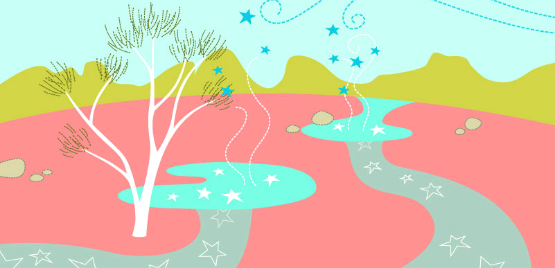
The Stars Descend | Fitzgerald | Sunday 26 March 2023
Chapter 4 (Fitzgerald) of The Stars Descend in Ravensthorpe
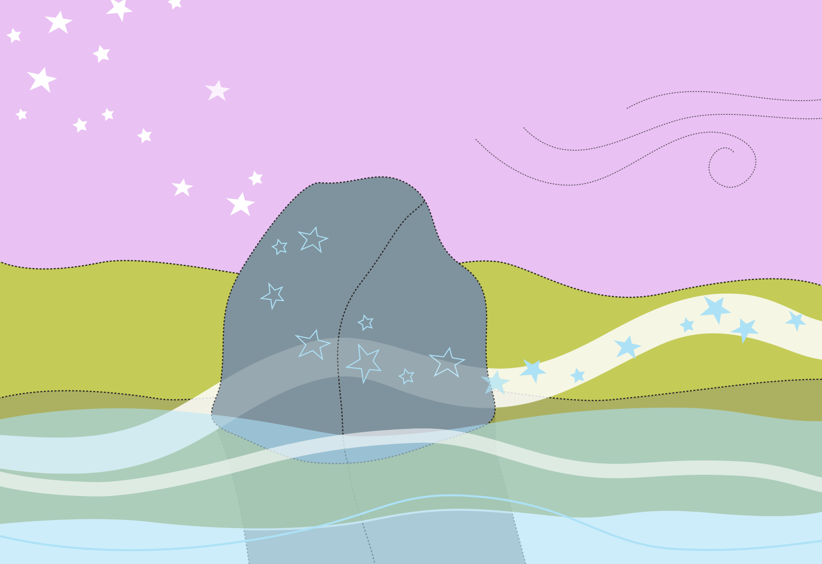
The Stars Descend | Borongur | Friday 23 March 2023
Chapter 3 (Borongur) of The Stars Descend at Twin Creeks Conservation Reserve, Porongurup Range

The Stars Descend | Woodchitup | Friday 17 March 2023
Chapter 1 (Woodchitup) of The Stars Descend in Margaret River
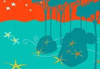
The Stars Descend | Northcliffe | Sunday 19 March 2023
Chapter 2 (Fitzgerald) of The Stars Descend in Northcliffe
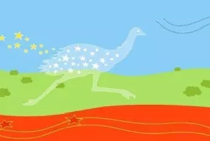
The Stars Descend | Karlkurla Gargula | Saturday 1 April 2023
Chapter 5 (Karlkurla Gargula) of The Stars Descend in Kalgoorlie
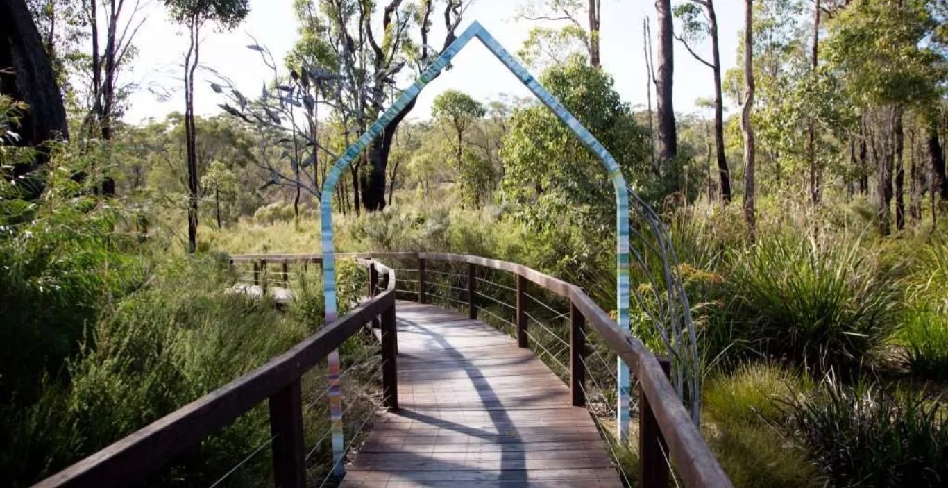
Understory Art and Nature Trail
Understory Art and Nature Trail offers an enchanting experience of quality artworks embedded in the serenity of a bushland setting.
Pemberton
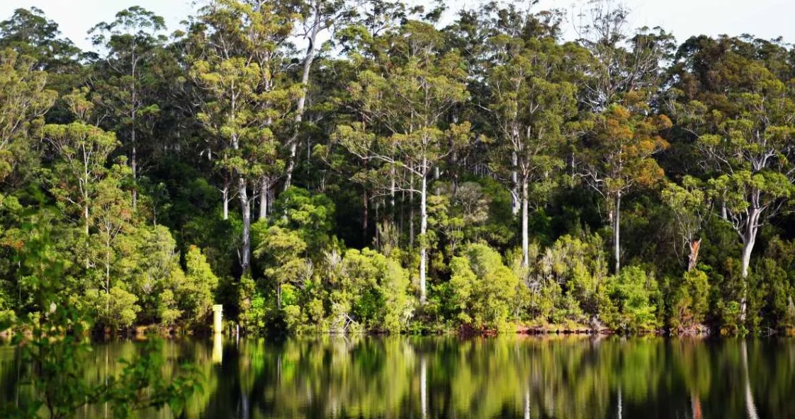
Pemberton lies deep in the heart of karri country, with abundant attractions for visitors seeking fabulous scenery and environmental riches.
Mt Frankland
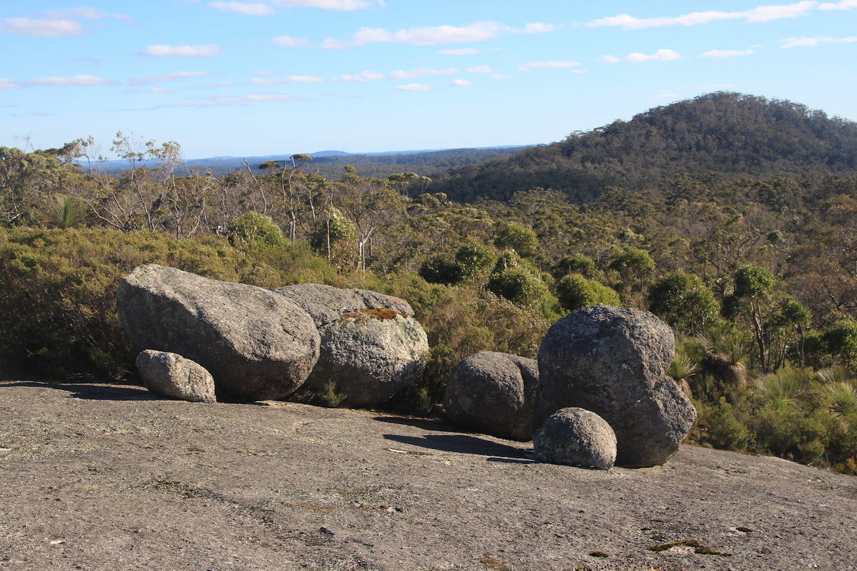
Mount Frankland/Caldyanup National Park combines spectacular views as well as deep immersion in the stunning karri forest.
The Knoll Scenic Drive and Walk Trails
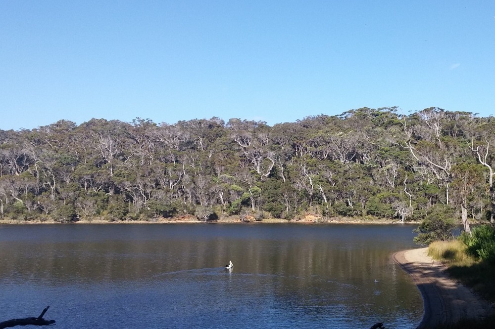
The Knoll Scenic Drive is a 5 km circular route through the Walpole-Nornalup National Park taking you under the canopy of karri and marri forest.
Beedelup Falls
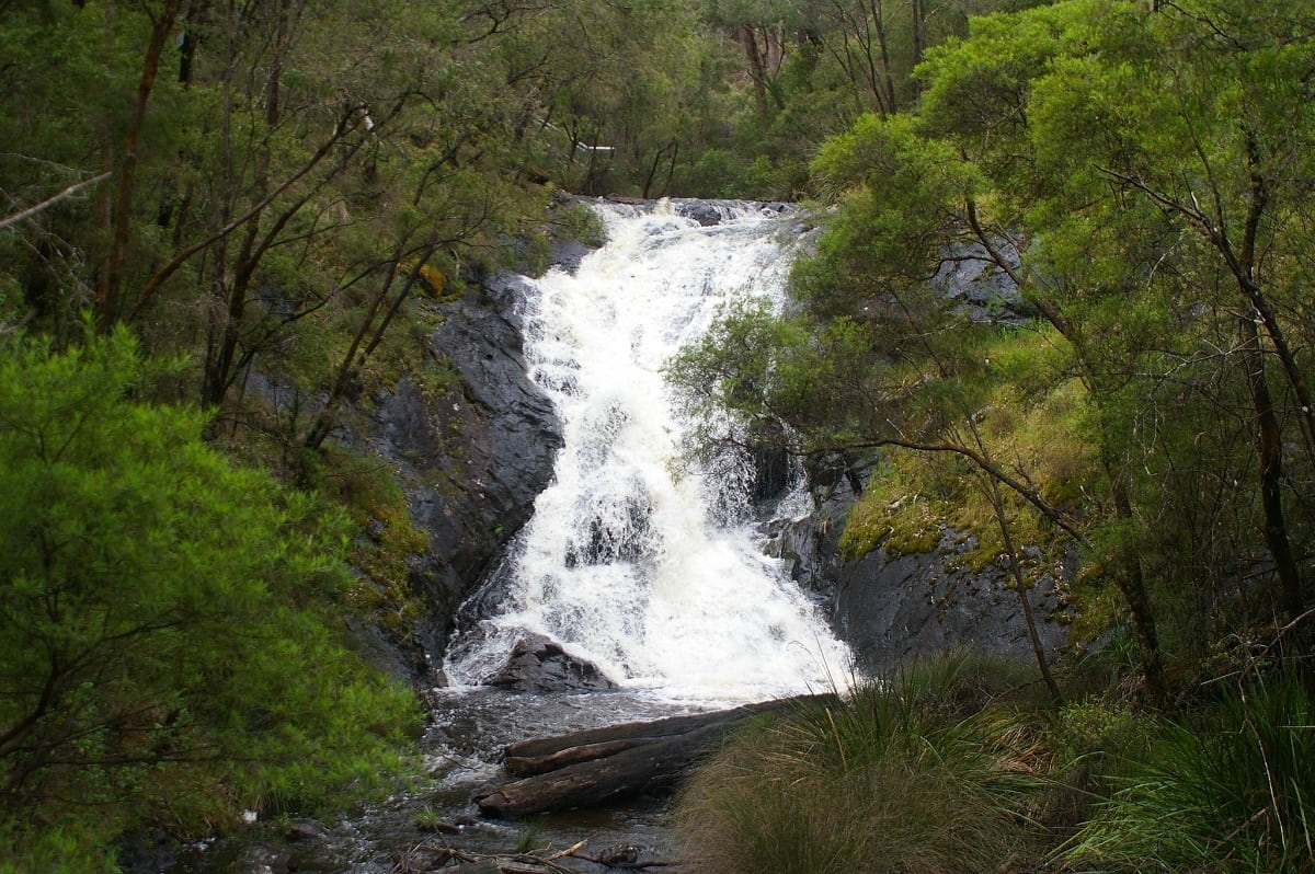
This attractive series of rocky cascades is a little gem of the Southern Forests. Walk 300 m over the Beedelup Brook suspension bridge, or add a 4.5 km Loop Walk, taking you deeper into the forest.
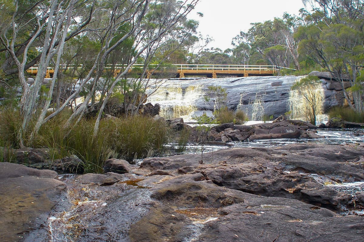
Fernhook Falls
Fernhook Falls are on the Deep River, a relatively undisturbed catchment and pristine river. Walk trails and boardwalks available with some wheelchair access.
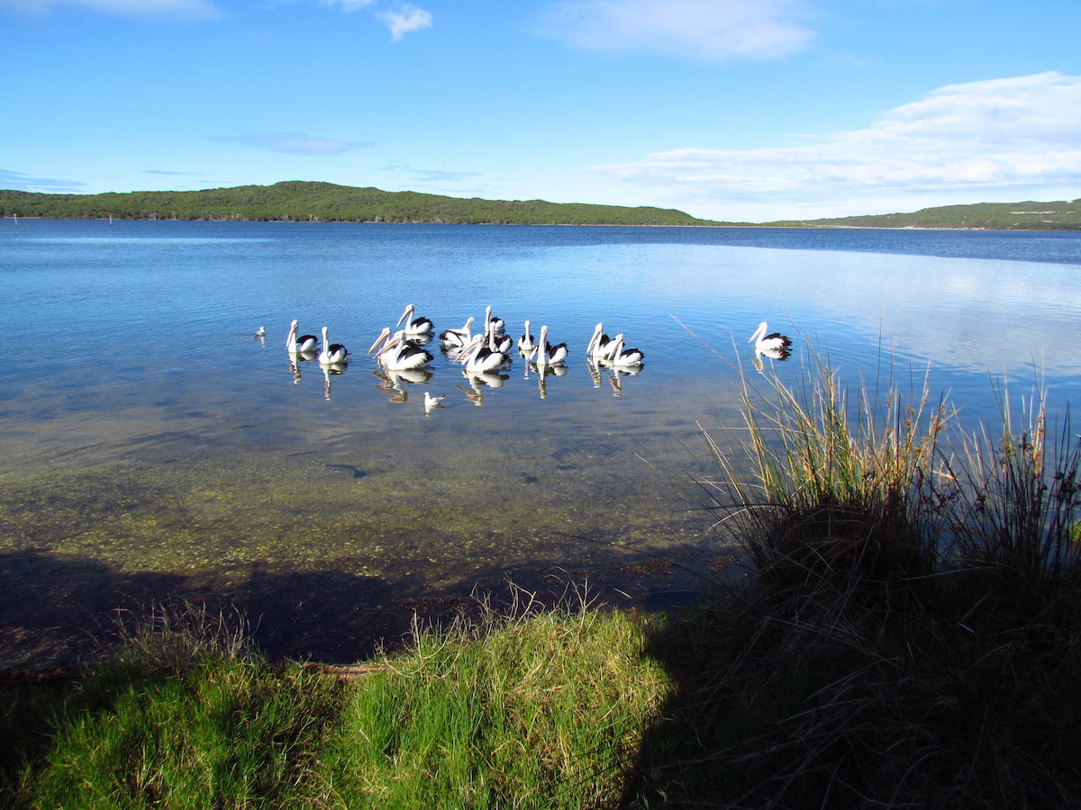
Koorabup (Denmark) Rivermouth / Wilson Inlet
A beautiful vantage point to access the Denmark River and Wilson Inlet, with many walking options available.
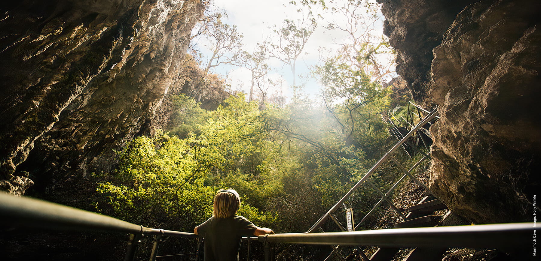
Mammoth Cave
A natural time capsule, home to ancient fossil remains of long-extinct Australian Megafauna. The most accessible of all the caves in the region.
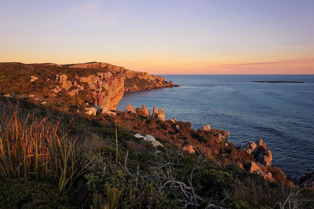
Windy Harbour and Point d'Entrecasteaux
Just near Point d’Entrecasteaux there are scenic drives and coastal walks with spectacular views of the rugged southern coastline.
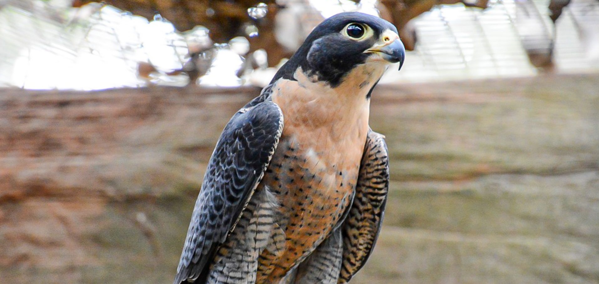
Eagles Heritage
Dedicated to the care and rehabilitation of injured or displaced birds of prey, this native bushland sanctuary is a unique opportunity to meet and interact with eagles, hawks, falcons and owls.
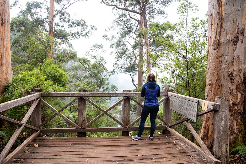
Warren River Loop Walk
This moderately difficult 10.5km trail rewards with gorgeous river-bank paths and mossy karri behemoths. Highlights include whirling rapids at Heartbreak Crossing and wildflowers in season.
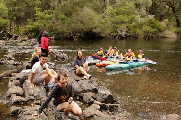
Pemberton Hiking and Canoeing
Explore Pemberton’s pristine river and estuary systems by canoe. Glide by pristine forests on either a day or starry-night tour with veteran eco-tour guide Andy Russell.
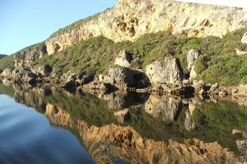
Donnelly River Cruises
Explore Pemberton’s pristine river and estuary systems by canoe. Glide by pristine forests on either a day or starry-night tour with veteran eco-tour guide Andy Russell.
Pemberton Discovery Tours
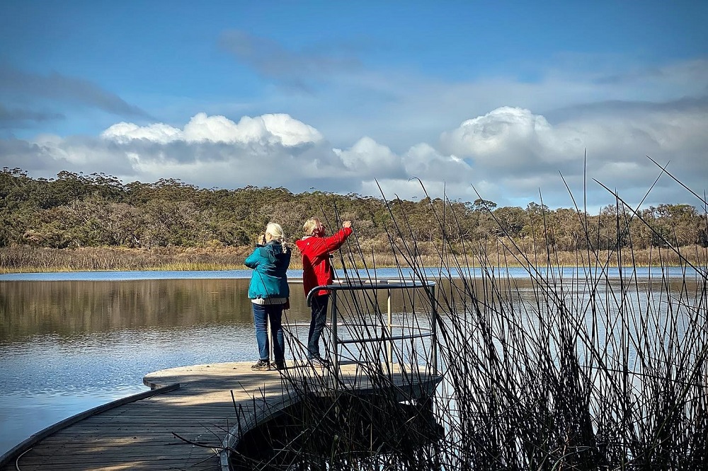
4WD adventure tours to the Warren and D’Entrecasteaux National Parks. Witness the remarkable travelling Yeagerup Dunes, vast Southern Ocean beaches and beautiful stands of old-growth karri forest.
Swarbrick Art Loop
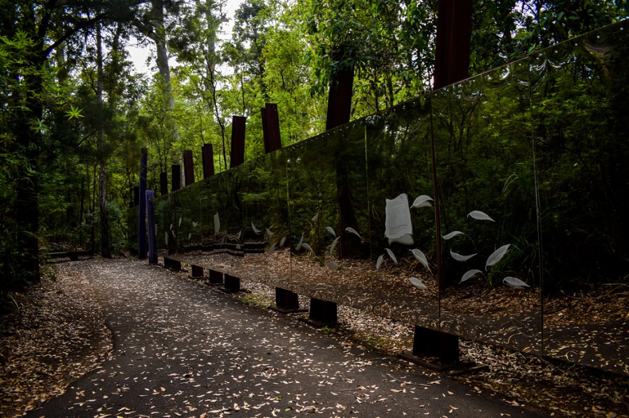
An art trail located near Swarbrick forest, which forest campaigners tried very hard to save. The artworks invite reflection on what it takes to protect our natural wealth for posterity.
Coalmine Beach Heritage Walk
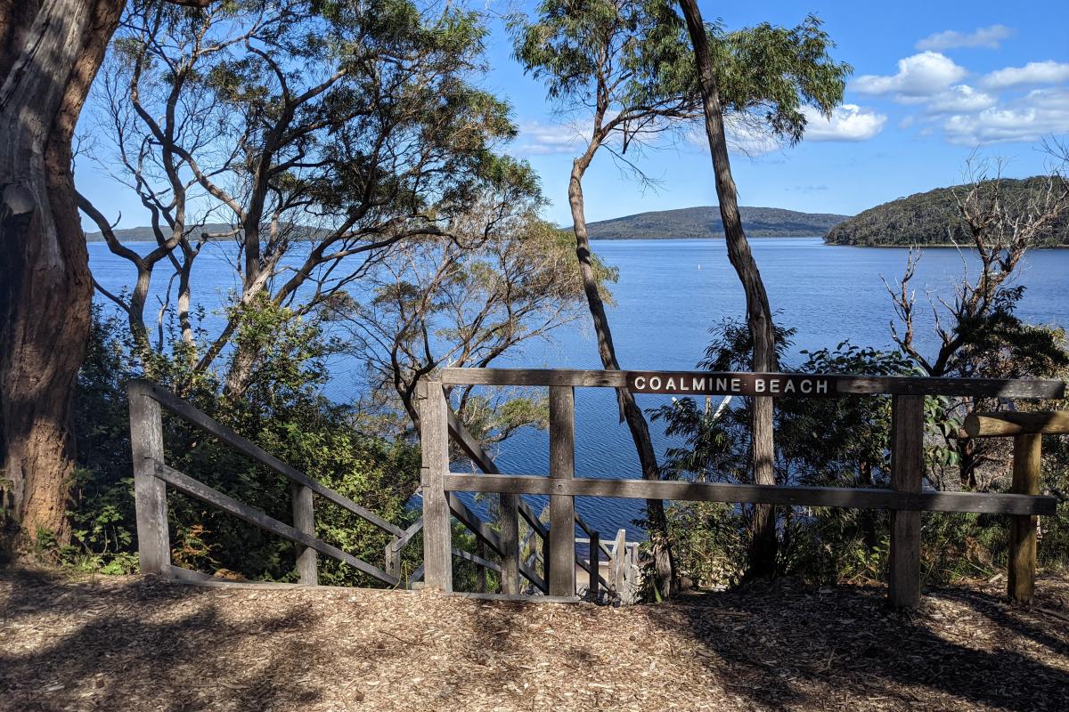
An easy, delightful 3 km (one way) walk on a gravel track, with a boardwalk over Collier Creek. Traverses swampland with diverse scenery, vegetation and birdlife. Precious habitat for quokka.
Hilltop Lookout and Giant Tingle Tree
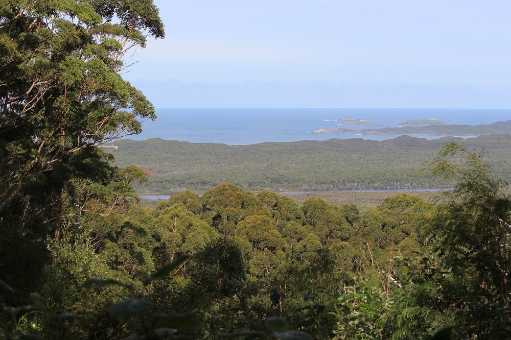
Start this 5.3km trail at the Lookout with splendid views over the inlets and ocean, then descend through Karri and Tingle forests to marvel at an ancient Giant Tingle towering over 50 m tall
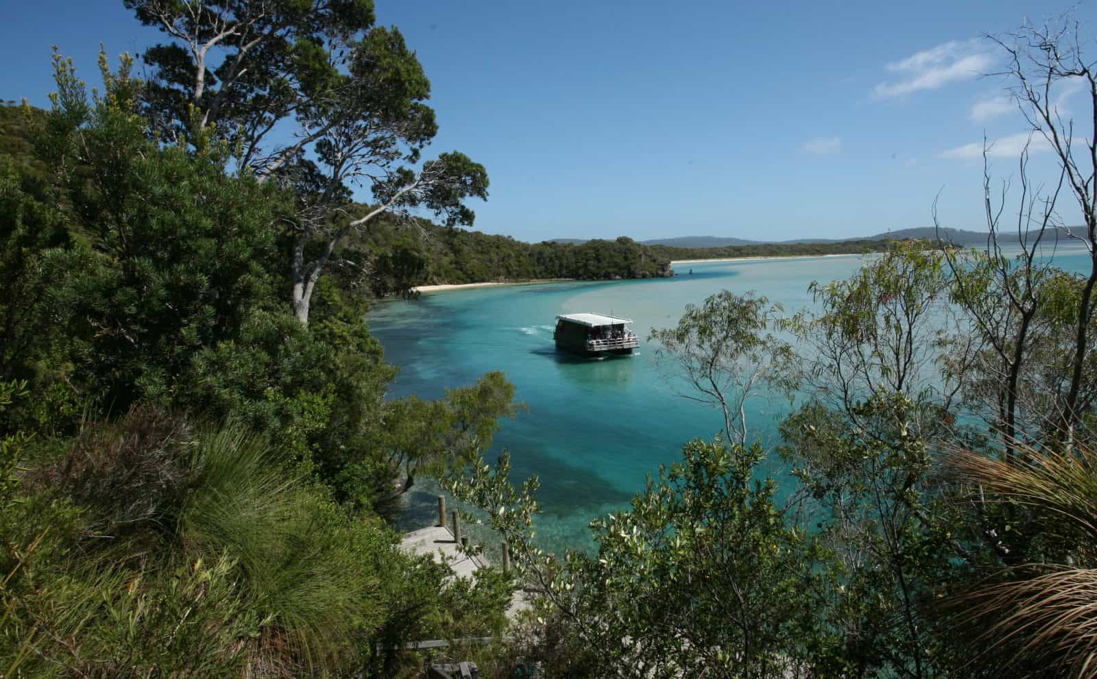
WOW Walpole Wilderness Tour
The inky waters of Walpole and Nornalup inlets, cradled by karri-clad forest, create vistas of great beauty and naturalness. This cruise, run by local legend Gary Muir, is rich in detail and passion.

Albany
Albany, the hub of the Great Southern region, sits on the south coast of Western Australia, one of the most beautiful and diverse coastlines in the world.
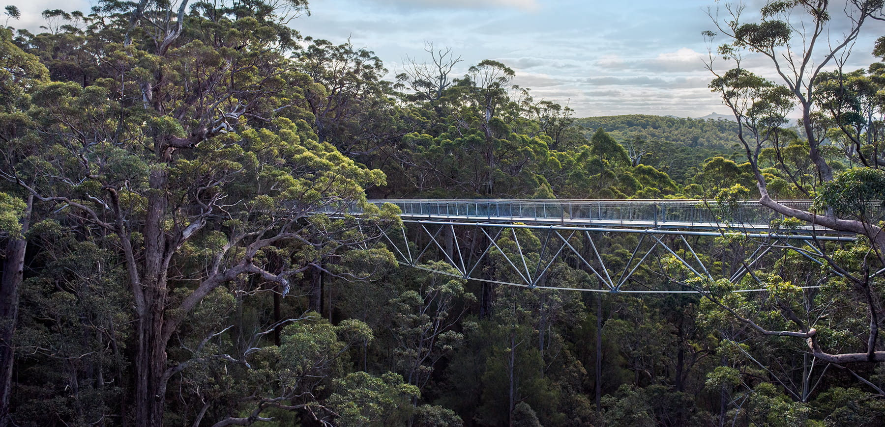
Tree Top Walk - Valley of the Giants
This tourism icon in the Valley of the Giants soars 40 m high amongst the canopy of karri and tingle. Views from the 600 m walkway, supported by 6 interconnected pylons, are sure to impress.
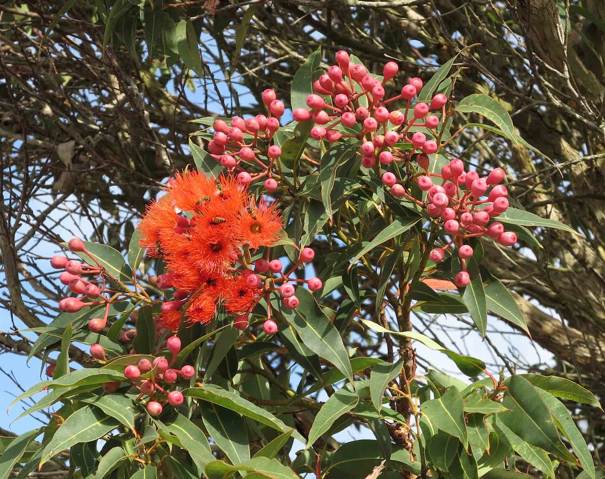
Ficifolia Rd & Conspicuous Cliffs
Drive through coastal heathland and the sole wild habitat of the Red Flowering Gum (Corymbia ficifolia) to spectacular Conspicuous Beach, an excellent viewing point for spring-time whale watching
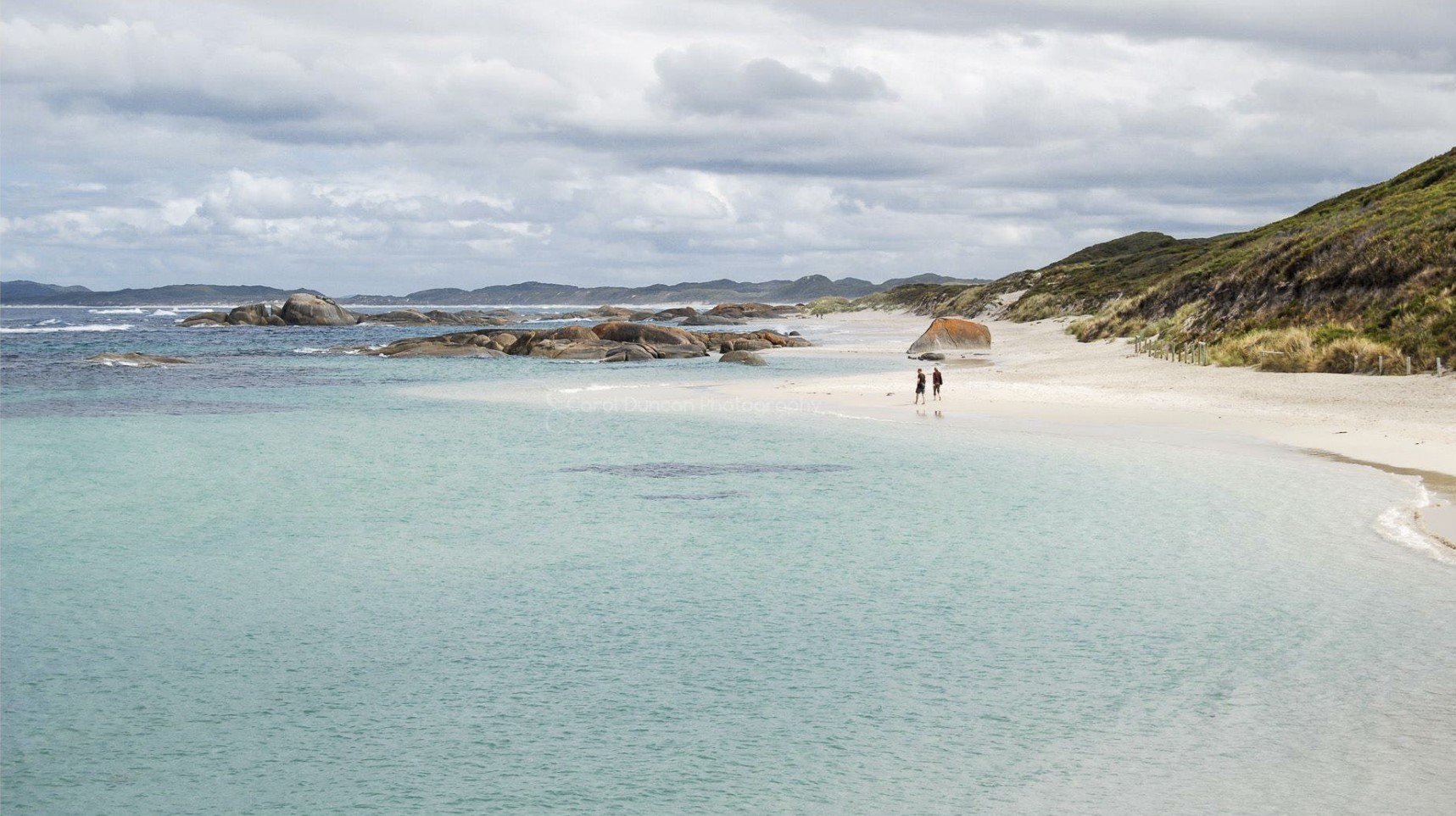
Greens Pool - William Bay National Park
Its sheltered turquoise waters, sculptural granite boulders and white sands, makes Greens Pool very popular with visitors and locals alike. Around the headland are the aptly named Elephant Rocks
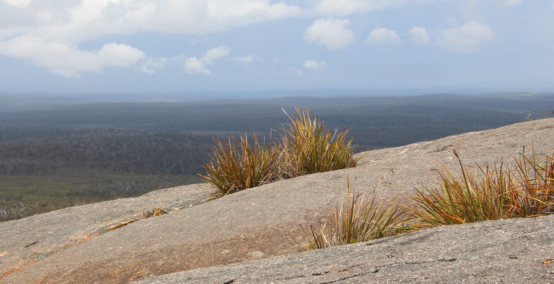
Mt Lindesay National Park
The granite topped Mt Lindesay gives sweeping views over the Walpole Wilderness Area. A 10 km return walk offers diverse vegetation and abundant spring wildflowers
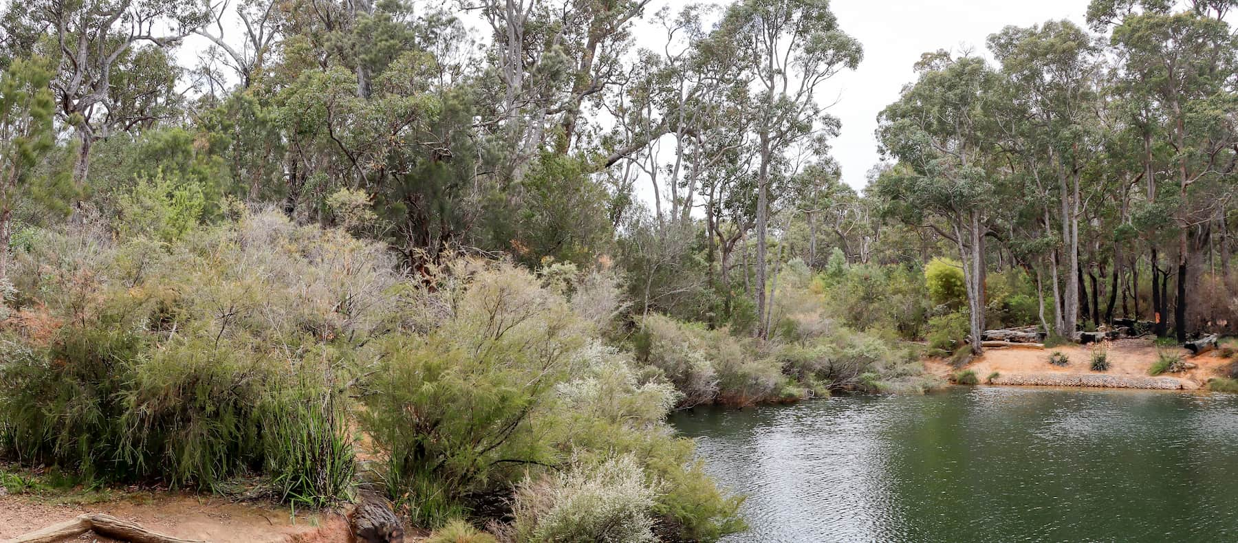
Canebrake Pool on the Margaret River
A beautiful natural jarrah, marri environment by the edge of the Margaret River. The site includes one large area for picnic activities and nine individual campsites with access for small caravans.
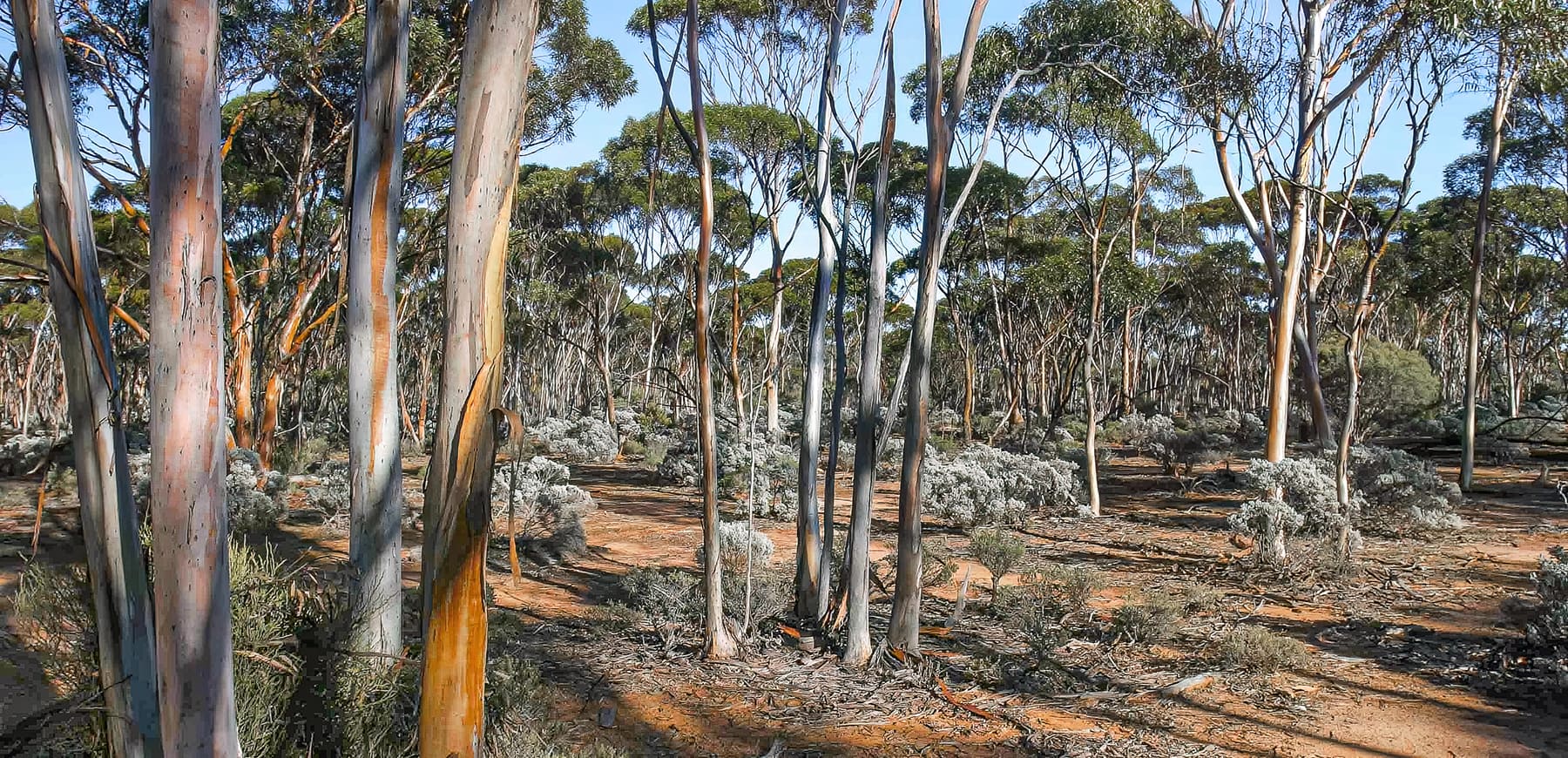
Woodlands Cultural, Community and Visitor Centre, Norseman
The Centre includes murals, interpretive displays and imagery about the Shire of Dundas, covering the central Great Western Woodlands area and east to the Nullarbor Plain.
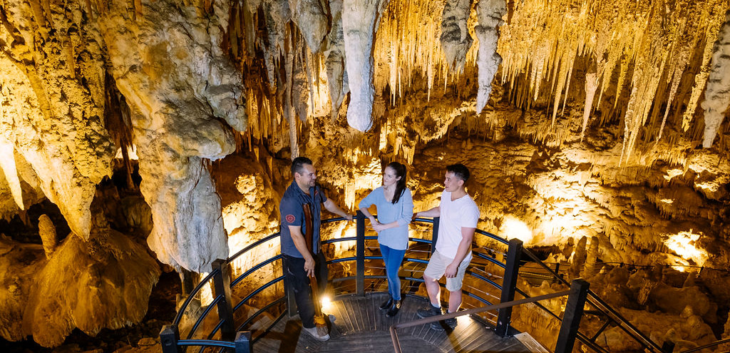
Koomal Dreaming: Cape Cultural Experiences
Wadandi custodian Josh ‘Koomal’ Whiteland offers cultural tours featuring Ngilgi Cave, didgeridoo playing and fire-making, bush food tasting and learning about bush medicine.
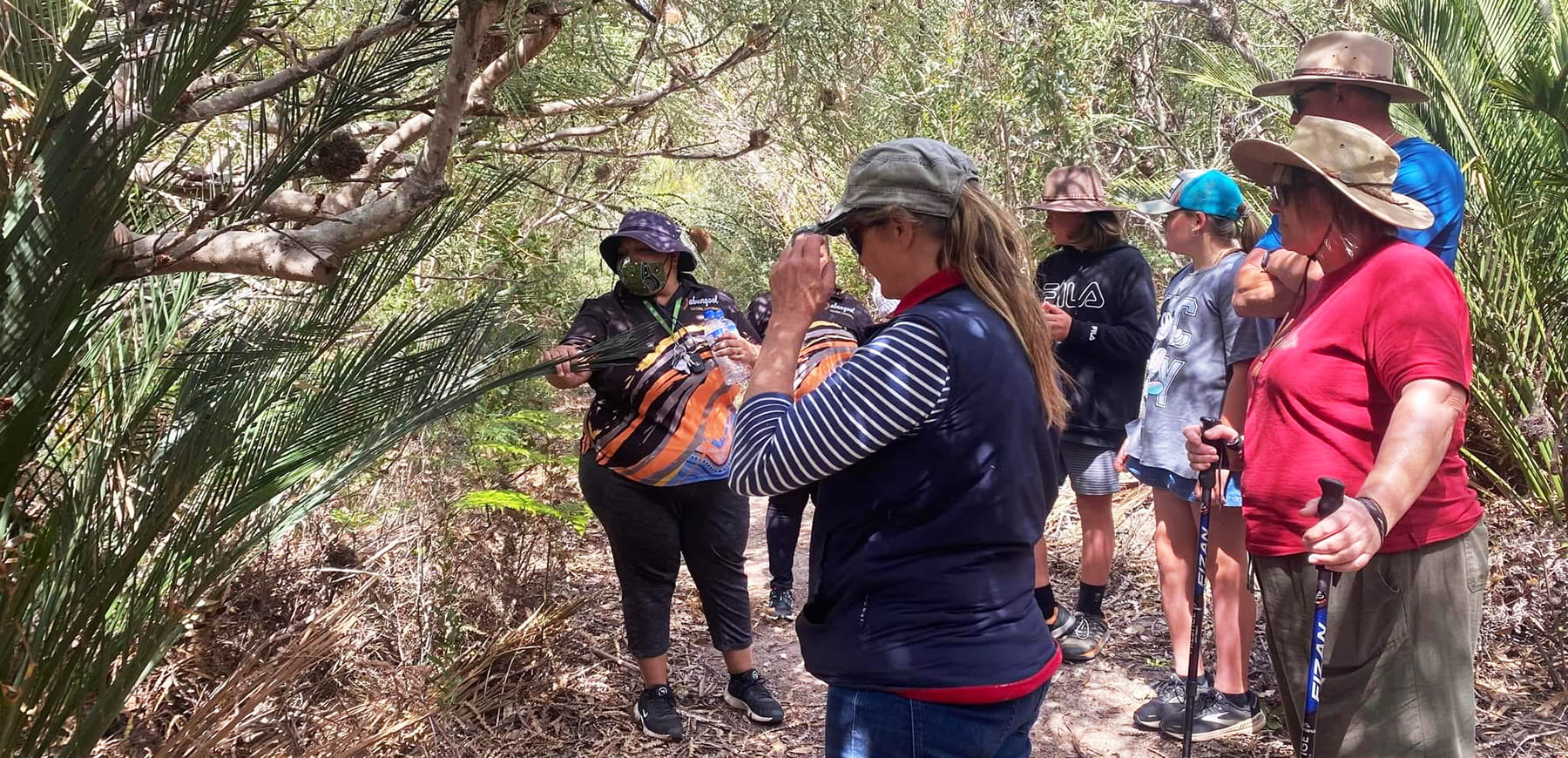
Dabungool Cultural Experiences
While in Kepa Kurl Nyungar Boodja (Esperance), take a tour to learn about Wudjari Nyungar history and heritage, including traditional and local knowledge of seasonal plants and bush foods.
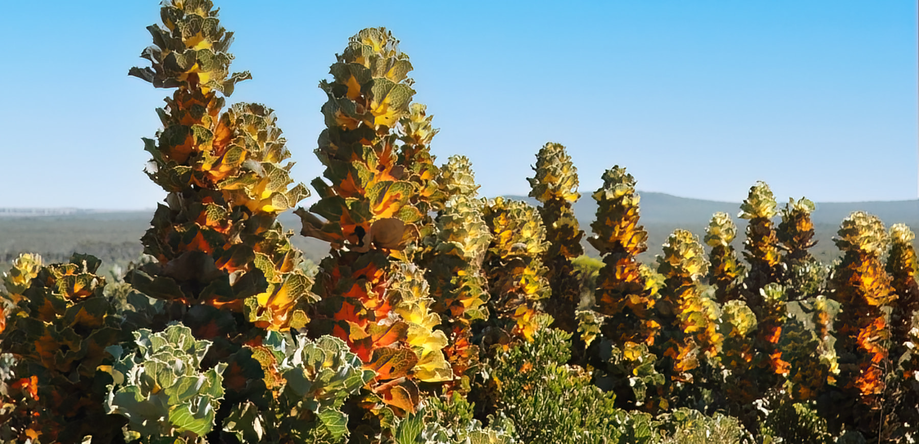
Barrens Lookout and Barrens Beach
Barrens Lookout is on a ‘wave cut bench’ – a relic of an ancient ocean. Marvel at incredible plant diversity in this quartzite landscape. Many plants here occur only in this area - tread carefully.
