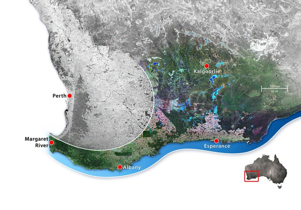
Fitzgerald River National Park: A Park in Peril

Keith Bradby reflects on the recent fire that swept through some 172,000 hectares of the globally significant Fitzgerald River National Park (FRNP) and adjacent high conservation value areas such as Cocanarup — a vital Carnaby’s Black-Cockatoo breeding habitat.

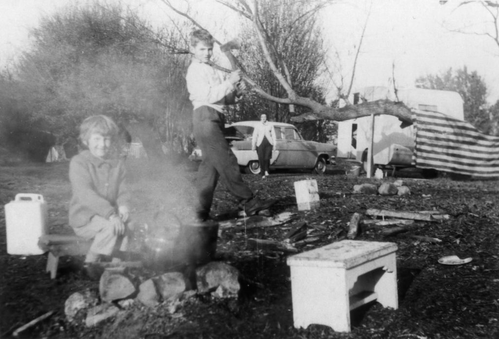
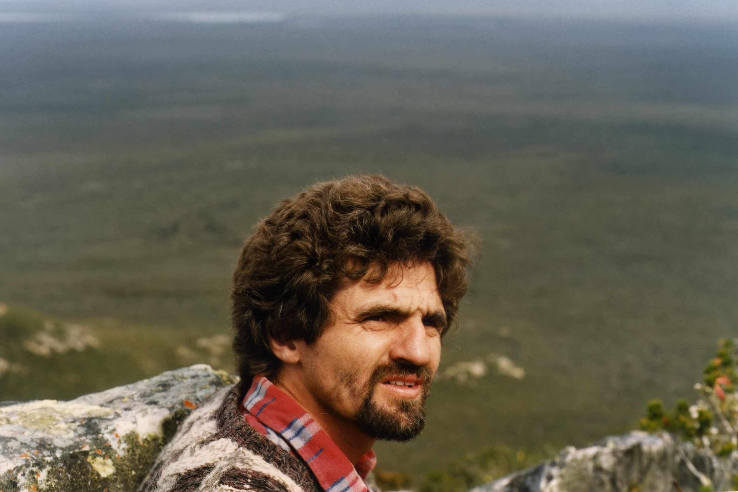
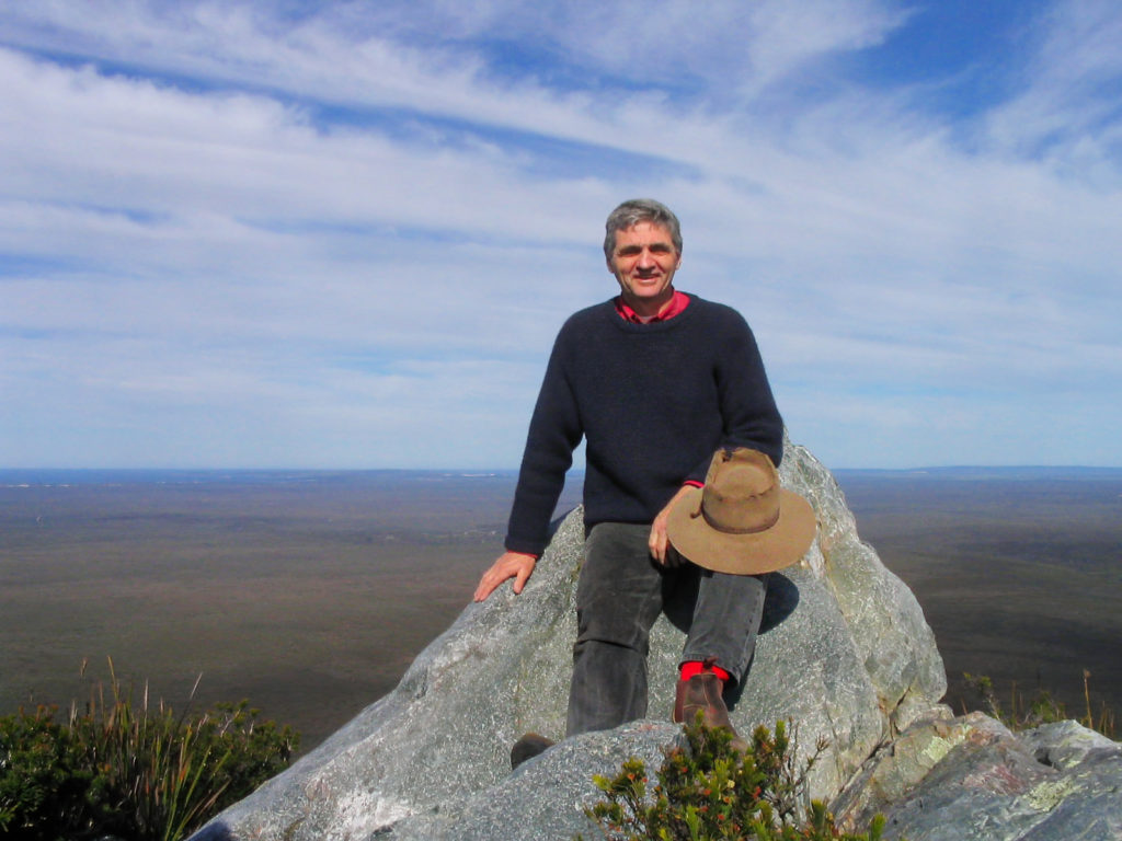
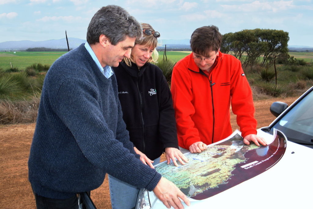
Keith first met the Fitzgerald River National Park in the mid-70s. He was captured by its biological richness and wonders and settled on a small block in the equally significant but unprotected bushland that stretches between the park and the Ravensthorpe Range. In the 1980s, Keith was involved in a range of work to protect and extend the national park, activate its Biosphere Reserve status and secure funding for its biological survey.  He was also part of the park’s advisory committee that worked on development of its first management plan. While appreciative of the increased recognition the area now has, it saddens him to see long-term trends of ecological decline.

February 2026

A natural disaster of historic proportions has unfolded. Some 172,000 hectares of the Fitzgerald River National Park and critically important natural habitats at Cocanarup and to the south of Ravensthorpe were burnt over 12 days in January. Like many people, I am in mourning for what has happened.

Sadly, the bush is in the sky. Looking from Hopetoun to East Mt Barren in the Fitzgerald River National Park, January 2026. Image: Theresa Miloseski.
On 5/02/2026, this map was obtained from a WA government website. Dark shading denotes the burnt area; the Bushfire Advice area is bounded in yellow. Note the towns of Bremer Bay, Ravensthorpe and Hopetoun.

When I first met the Fitzgerald, in mid-1976, I had the great delight of being in a place that seemed virtually unburnt. It was full of life and vitality. The first ‘prickly bush’ I peered into revealed a massive Banksia baueri flower with three honey possums (Tarsipes rostratus) feeding on its nectar. And it just got better from then on!

A honey possum (Tarsipes rostratus) feeding from a ‘toothbrush’ grevillea flower. Image: Jarvis Smallman.

I ended up living close to the eastern side of the park and often visited the somewhat poorly named No Tree Hill, marvelling at the magnificent thin-stemmed weeping gums (Eucalyptus sepulcralis) growing there. They towered above me — I think for 12 metres or more — before gracefully bending their slender branches and leaves to caress the prickly heathlands that grew beneath them.

Eucalyptus sepulcralis at ‘No Tree Hill’ in the Fitzgerald River National Park. Image: courtesy Keith Bradby.

Those heathlands included the multi-coloured royal hakeas (Hakea victoria), which were themselves often five or more metres high; columns of leathery leaves shining iridescently orange, yellow and red in the sunlight. I was amazed by these sights, just as I expect Noongar people were before me, and as botanist James Drummond was when he first visited the area in 1847. He described the “brilliant colours in the bracts of this extraordinary plant” — the royal hakea — and was so impressed that he “tied up sixteen of the bract bearing tops in two bundles, tying them together with the creeping shoots of the black creeper Kennedia nigricans and slung them one each side of my old grey pony Carbine. One specimen fourteen feet high, I carried in my hand all the way to Cape Riche”.

A magnificent stand of young royal hakeas (Hakea victoria). Image: Amanda Keesing.

Some earlier European visitors were not as impressed with the area. In 1802, Matthew Flinders sailed past and collectively named the Fitzgerald’s coastal ranges ‘the Barrens’. Forty years later, when Edward John Eyre encountered East Mt Barren on his epic trek from South Australia, he commented in his journal that, “Most properly had it been called Mt. Barren, for a more wretched arid looking country never existed than that around it.”

But before Eyre, with his dismal views, and even before Drummond, came a botanical collector who saw it as anything but barren. Between 1826 and 1829, William Baxter travelled through the area, collecting seeds and plant pressings to sell to the European market. One of his seed collections sold for 1,500 pounds, a fortune at that time.   

Jumping forward nearly 150 years, to when the national park was gazetted in 1973, the park’s botanical values were already considered high, with some 660 plant species identified. But that was just the beginning. I had the pleasure of knowing Ongerup farmer-turned-botanist Ken Newbey, who surveyed the area in the 1980s until his untimely death in 1988. Ken was one of a small number of key people who helped us better understand how incredibly rich and important the area is. His track record, as he put it, was “one species new to science for every day spent in the bush” — an astounding achievement that most botanists in the world have trouble believing.

Ken Newbey recording plants in the Fitzgerald River National Park, 1985. Image: Brenda Newbey

Through the work of Ken and many other wonderful people, the plant list for the park has almost trebled — now approaching 1900, I gather. Ken and Ravensthorpe zoologist Andy Chapman undertook the initial biological survey of the park in the mid-1980s, and as a result, the list of birds and mammals also grew. Healthy populations of the heath mouse, considered extinct in Western Australia since the 1930s, were only one of the surprises they uncovered.

Overlooking the Southern Ocean at East Mt Barren, a royal hakea (Hakea victoria) stands sentinel in a glorious array of plant diversity. Image: Rod Waterman.

We were in an age of scientific discovery, with much other good work advancing our understanding of the place beyond simple species listings and toward a deeper appreciation of its complex ecology and significance. In 1989, when UNESCO’s Director of Ecological Sciences, Professor Bernd von Droste, visited the area (at the invitation of local community members), his subsequent statement was clear, “The Fitzgerald River National Park is without doubt the most important mediterranean ecosystem reserve in the world. It stands out for its scientific, conservation and educational values in the same way that the Galapagos Islands do.”

Bernd, who visited because the Fitzgerald area’s International Biosphere Reserve status had been activated by the local community, also caused us some embarrassment by quietly and continually asking “But where are your scientists?”. I think he was expecting to find a well-funded research centre based in or near the park, full of busy researchers supporting the management of the area. This was especially poignant for me, because the previous year I had visited Cevennes Biosphere Reserve in south-western France. They had their own well equipped and staffed research centre, and I was flabbergasted by the extent of locally-based research that focused not only on the natural and cultural values of the area, but also actively worked to improve the beneficial interactions between the natural environment and the area’s farming community.

Since the 1980s, there has been a wave of general studies across south-western Australia that has helped us better understand and appreciate where we live. Ecologically, we are no longer seen as a sandy and scrubby back corner of Australia, but as one of a small number of internationally recognised biodiversity hotspots — places “where exceptional concentrations of endemic species are undergoing exceptional loss of habitat”. This is global recognition for the richness — but it comes with that sad twist.

In addition to its intrinsic richness, the Fitzgerald is also important because it has, so far, dodged a potentially fatal bullet. It is the only large natural area left in south-western Australia that does not have major dieback infection across it. This destructive pathogen (Phytophthora cinnamomi) has ravaged south-western Australia’s ecosystems since it was first introduced over 100 years ago. It has been particularly savage in national parks like the Stirling Range (Koi Kyuenu-ruff), where it is thought to have been introduced through road gravel in the 1970s, and further east at Cape Le Grande. It is especially destructive of plants in the Proteaceae family, like the banksias and hakeas which are abundant at Fitzgerald. There is only one outbreak in the central Fitzgerald, along an old track bulldozed through by a mining company before the park was declared, but intense management of that site and strict quarantine arrangements across the rest of the park’s core area have kept the Fitzgerald relatively disease-free.

Unfortunately, there are other ways in which the Fitzgerald has already lost a great deal, even before the recent fire. Going back to the 1980s for a moment, I was there at the Twertup Field Studies Centre, overlooking the Fitzgerald River valley, when a treasure trove of animal remains from the owl roosts at nearby Jonacoonack Rocks were retrieved. While examining these at Twertup, the WA Museum’s Alex Baynes was able to reveal to a small group of park enthusiasts the wildlife species that had already been lost from the area since the 1800s. It’s a tragic reality that Australia has the worst record for mammal extinctions in the world, and the Fitzgerald area is no exception. It once held some wonderful wildlife, such as the exquisite banded hare-wallaby, a small potoroo now totally extinct, and the quirky quokka — the one we all like to get a smile from at Rottnest (Wadjemup). From the memory of one very early settler, it seems likely that at least some of these species survived into the early 1900s. He recalled ‘the ring of eyes’ that gathered around their campfires from the abundance of nocturnal wildlife at the time.

Twertup Field Studies Centre, 1984: WA Museum palaeontologist Alex Baynes identifies the jaw bones of marsupials that had disappeared from the park during the previous 150 years or so. Image: Keith Bradby.

And I can no longer hear the elusive Western Ground Parrots calling in the northern Fitzgerald, as I could in the 1980s. In fact, I understand they have been totally lost from the Fitzgerald now, and are restricted to an area at Cape Arid, itself badly burnt in the recent fires. Big flocks of Carnaby’s Black-cockatoos were common; while the occasional flocks seen now remain a delight, this sight is tinged with anxiety for their future. Late afternoon drives along the Old Ongerup Road, where the north of the national park meets farmland, were once quite hazardous, as the beautiful, black-gloved wallabies regularly darted across in front of the vehicle. But you don’t see many wallabies there now, and the road seems strangely empty.

An endangered Carnaby’s Black-Cockatoo feeding on a showy Banksia speciosa. Image: Jarvis Smallman.

Now we have some 172,000 hectares burnt in one massive and very intense wildfire, resulting in blackened country stretching from near Point Anne in the west of the park all the way to the precious Cocanarup area near Ravensthorpe. Farmland was also affected and evacuation procedures were initiated in the town of Ravensthorpe.  

Over 200 firefighters have been involved, facing danger and uncertainty for 12 days. Thank you all. We are so glad no one was hurt.

The Fitzgerald fire viewed from the northern boundary of the park (eastern end), January 2026. Image: Karryn Duncan.
All that is left: the burnt, bare ground in this northern section of the park, adjoining Old Ongerup Rd (January 2026). Image: Karryn Duncan.
Looking from farmland to the Fitzgerald, heavy-duty fire units prepare to face the fire front (January 2026). Image: Karryn Duncan.
The view from near Twertup Field Studies Centre, January 2026. Image: Al Hordacre.

While we mourn what has been damaged, we must now move quickly to think of what Boodja, the Country we are part of, really needs. In the Fitzgerald and at Cocanarup, any wildlife that has survived will be hungry and exposed to increased fox and cat attacks over the coming months. Are supplementary food drops possible? The burnt area is so large that many wildlife species will surely need help to repopulate. What does that entail? And how do we reduce the risk of future mega-fires without damaging the values we are trying to protect?

The mature salmon gum woodland at the Cocanarup is a vital nesting ground for Carnaby’s Black-cockatoos (ngoolark). Image: Nic Duncan.

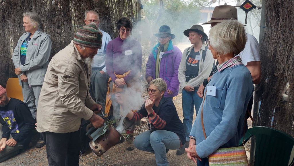
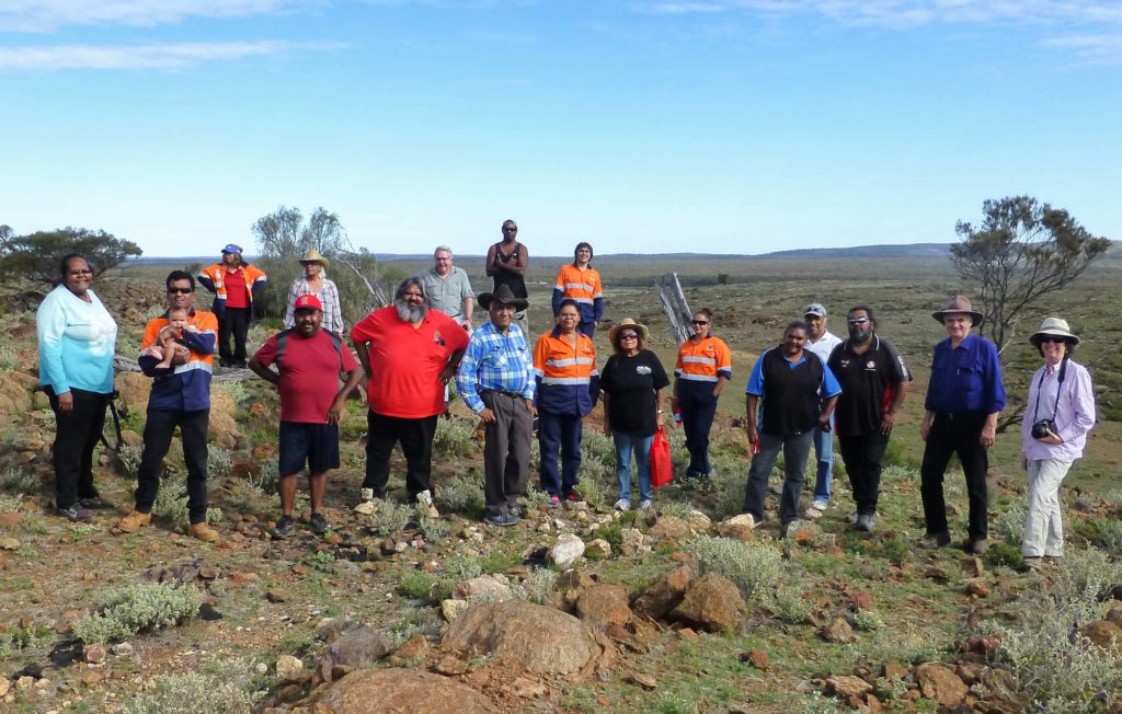
I’m not knowledgeable enough to know what we should do over the coming years and decades to care for what can recover. But I do know that the work of repair and recovery will benefit greatly from the voice of the Noongar people who feel for Country and carry wisdom from beyond just the last few centuries. That work would build on an additional change that has taken place in recent times. When I first came to Western Australia, the Noongar people of the south coast were, to quote one Elder, ‘the invisible people’ — and they were certainly not living around Ravensthorpe, where the trauma from earlier massacres lingered.

Today there is a much greater recognition of the rich heritage and ecological insights Noongar culture brings to us all, with shared participation in many events and land management tasks. The old stories and songs are having life breathed back into them. A poignant massacre memorial sits on the hill at Cocanarup and is visited by many. Now, more than ever, we need to listen with humility to the Noongar Elders and learn how the Traditional Custodians lived in the area. Hopefully, they will be willing to help the wider community understand how Country can be better managed to prevent the mega fires and return the bush to health.

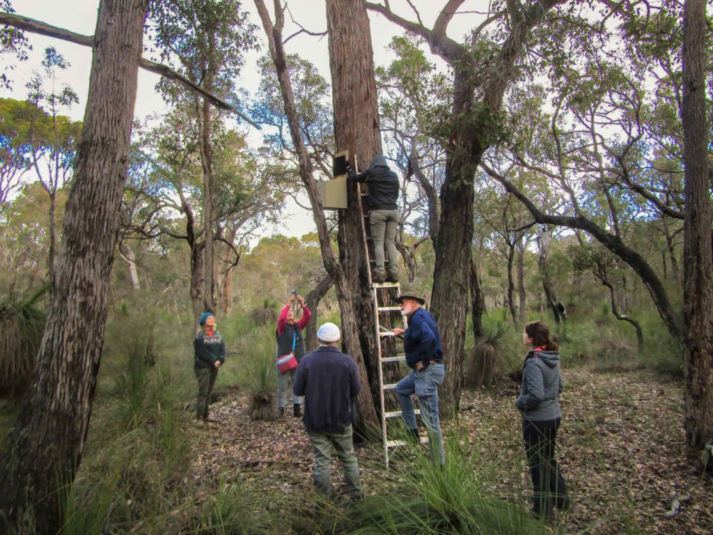
One other thing I know for certain is that the ridiculously small government budgets currently allocated to the ecological care of the Fitzgerald and Ravensthorpe areas will not suffice. The place is a biological treasure of global importance and cannot continue to be managed by a small, overstretched ranger staff with the managers based some hours away. It is also not enough to have a small number of ecologists juggle their workloads and travel schedules so they can occasionally visit the area — we need a team of them to be part of the place and part of the local community.

When things go wrong, departments generally cop the blame, and there will no doubt be some heated discussions in coming months, but the bottom line is that responsibility for the ongoing decline in the park sits with the State Government at a Ministerial level. We need some Cabinet-level decision making to ensure that our irreplaceable natural areas receive properly resourced ecological management. Additionally, it must be made clear that fires are to be dealt with rapidly, while still small, and that the resources needed must be in place so this can happen.

So, through this hastily written story, I have tried to make a few key points.

Over the past fifty years, it has been clearly established that the ecological and evolutionary richness of Fitzgerald and the surrounding area is a global treasure, with its cultural richness also gaining greater recognition. While we don’t yet know how to live up to all the responsibilities that entails, at least more of us are now accepting that caring for the area is a major responsibility.

The area has been damaged, not just in this one massive fire, but by numerous changes and pressures over decades. Any objective measure of its overall health shows downward trends: it has lost some wildlife species and may be losing more; it is copping more extensive, intensive and frequent fire; and is at grave risk of invasive pests and pathogens.

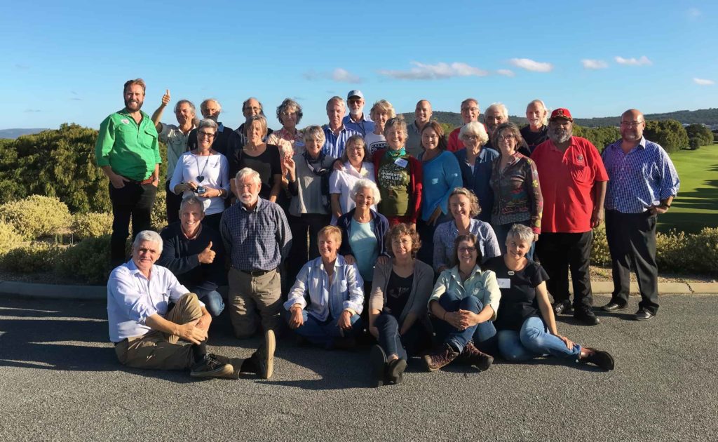
But it has some amazing people living around it who care deeply for where they live, who celebrate it through magnificent wildflower festivals and other events, who are heartbroken by what has happened, and who have immense local knowledge that is pivotal to ensuring that a more positive future emerges from the smoke.

They also have a wider network of people — regionally, nationally, and internationally — who likewise care deeply for this amazing place and can help achieve a more positive future.

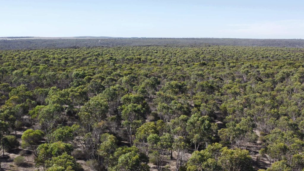
THANKS to Karryn Duncan, Nic Duncan, Al Hordacre, Amanda Keesing, Theresa Miloseski, Brenda Newbey, Cary Nicholas, Jarvis Smallman and Rod Waterman for their generous and rapid responses to photo requests, and to Margaret Robertson and Ursula Rodrigues for editorial input.

The story is also published in the February 2026 edition of the Southerly Magazine, and we acknowledge the Southerlys editor Wayne Harrington for encouraging Keith to write it.

The salmon gum (Euc. salmonophloia) woodland at Cocanarup, just to the north-east of the Fitzgerald River National Park, has abundant tree hollows. However, we are awaiting information about the impact of the fire. Image: Nic Duncan.

Some of the groups involved in valuing and protecting these landscapes:

Cocanarup Conservation Alliance

Friends of the Fitzgerald River National Park

Ravensthorpe Wildflower Show and Herbarium

Fitzgerald Biosphere Community Collective (there’s a map and brochure here)

Wagyl Kaip Southern Noongar Aboriginal Corporation

Bush Heritage Australia

Gondwana Link Ltd

South Coast Natural Resource Management

This link will give you access to the Fitzgerald River National Park management plan.

In this short video Ravensthorpe – Wonderland of Plants, watch Professor Kingsley Dixon and the Ravensthorpe Regional Herbarium’s Merle Bennett describe the immense botanical importance of the Ravensthorpe Range and areas south, which lie between the Fitzgerald River National Park and the Great Western Woodlands.

Oak-leaved Dryandra, recently renamed Banksia heliantha, is one of many plant species that occur only on the Barrens quartzite of the Fitzgerald area. Image: Jarvis Smallman.
A honey possum (noolbenger) feeding from the flower of a Barrens regelia (Regelia velutina), one of the hundreds of plant species known only from the Fitzgerald area. Image: Rod Waterman.
Keith Bradby on West Mt Barren in the Fitzgerald River National Park, 2003. Image: Cary Nicholas.


Keith Bradby: Go west young man?

Here’s a story that offers insights into how change unfolds and the importance of sharing ideas. To start the 21st anniversary of the ambitious Gondwana Link program, Keith Bradby OAM gives his perspective on where it came from and some of what has been achieved, so far. In Keith’s view, historic changes in land-use and culture, driven by community effort, are now happening along 1000 kilometres of south-western Australia.  

I grew up in the Victorian town of Ballarat. Dad was a builder, as were many of his family, and Mum looked after Dad and the four kids. Holidays were not trips to the beach, they were usually spent touring, with all of us crammed into an old Ford and a small caravan.  We toured Victoria to appreciate everything on offer —  taking a stroll down every town’s main street, reading the local newspaper, visiting the local bakery, and finding a nice patch of bush to explore. Often, we’d visit friends my father had made in his work as a builder of hay sheds and shearing sheds — Dad liked to leave friends wherever he worked. 

Learning to love where you are. Keith Bradby and his sister Helen, making camp for the night on one of their many family trips in Victoria. Image: Ray Bradby.

I think this touring gave me a real appreciation that country Australia is full of wonderful places with many different aspects. It’s not just the bush and it’s not just the towns, or the farms, or the people, or the camping spots — it’s all of those and more, plus how they all fit together.  

Another very formative experience for me was having a hundred or two aunties. Most weekends, we’d be off mowing lawns or chopping the firewood for an auntie – and having some great afternoon teas. It was only much later that I realized that we weren’t related to these ‘aunties’; they were mainly war widows, of which there were so many in the 1950s and 1960s.  

So I was raised in a family where being caring and considerate to others wasn’t something special. It was just who you were and what you did. In my life, I think I’ve just extended that to include the natural world. 

The bug to ‘go west young man’ hit me in the mid-1970s, when I was in my early 20s. I wanted to be a beekeeper, but Victoria had lots of them already, with the good commercial sites taken up. The west beckoned, but I’m not sure I really knew what I was going to — I’d been told the state’s west coast was the only place where it rained enough to sustain both people and bees. Regardless, I sold the mudbrick house we’d just built, bought a cheap truck, packed up my toddler and partner, and drove into the sunset.  

Young Keith Bradby in his element – the vast, biologically-rich natural area of the Fitzgerald River National Park. Image: courtesy of Keith Bradby.

The country on the way captured me — the Nullarbor was not a barren place, like I expected, and it just kept getting better as I drove further west. Those tall and stately woodlands from Balladonia onwards were a delightful surprise, but when I struck the heathland and banksia country around Esperance, I was completely hooked. That beauty and richness in the bush was so new to me, and every time we stopped there was a completely different array of plants. This diversity reached its peak at Ravensthorpe, which ended up being my home for the next fifteen years, and in many ways it still is, even though I live in Albany.  

Ravensthorpe was also wonderful beekeeping country, with lots of healthy bush full of weird and whacky looking plants – banksias that grew along the ground, dryandras like shaggy cactus, weeping gums and royal hakeas. Many, like showy banksia, chittick, moort and bell-fruited mallee, just oozed nectar in a good year.   

I enjoyed the challenge of beekeeping, and the returns were good, but then I met a fella called Peter Luscombe out bush one day. Peter ran a native seed firm near Albany and encouraged me into picking native seeds, which soon took over as my main business. I was still working in the bush each day, and I didn’t have to worry about being stung — plenty of prickles though! 

Seed picking really sharpened my focus on the bush around me: I had to find the scientific names of all the plants I was picking seed from, but many weren’t scientifically described. I also started meeting a lot of other people who were fascinated by the bush. One was Ken Newbey, the Ongerup farmer-turned-botanist, who was constantly discovering plants unknown to science. The 1980s was the decade when we really started to understand how biologically rich and special south-western Australia is, which was the lead up to it being recognised, on the world stage, as a biodiversity hotspot in 2000. 

The early 1980s also saw the state government take a renewed interest in the bush, but it was the wrong sort of interest. Wanting to re-create the 1960s, when huge areas of the south-west were ‘opened up’ for farming, the government started a program to alienate and clear vast areas of land — ‘up to 3 million hectares’ was the phrase used. That seemed silly to me, and to a small group of friends, so building the case for a more sensible approach dominated our lives from 1980 to about 1985. This included protecting the magnificent mallee-heath country that is now the northern section of Fitzgerald River National Park, but which had been surveyed into new farm blocks. 

It’s 2003 and here’s Keith Bradby with less hair but still delighting in the Fitzgerald River National Park. Image: Cary Nicholas.

It was a funny time. Many in the community were becoming more aware of the environment in general, and the first local farmer groups were forming to tackle problems like salinity, erosion and the loss of bush – the beginnings of the landcare movement. But at the same time, the government and some farmers were stuck in the past, wanting to clear even more land, even quite marginal land.  

So that bit of turmoil in the 1980s got me reading science papers about south-western Australia and going to a couple of environmental conferences. Much of my life since has been spent trying to implement what I learnt, while also learning more.  

My first conference was at Broken Hill in 1982, where a CSIRO scientist warned us that global climate change was starting to happen. He predicted that south-western Australia would have a steady drop in annual rainfall, which is pretty much what we have been experiencing ever since. At much the same time, a young scientist called Stephen Hopper was writing papers exploring why south-western Australia was so biologically rich — with a big factor being the ecological interplay between wetter and dryer areas during past climate wobbles. Then there were emerging concepts like ‘island biogeography’, which has very profound implications for our wheatbelt: following land clearing, small bits of remnant bush keep losing their wildlife over time, and the bigger a bit of bush is, the more likely it is to be healthy and have its full mix of wildlife. 

Around 1987, a small group of us who were involved in the original Fitzgerald Biosphere Project, between Jerramungup and Ravensthorpe, got hold of the first satellite photos we’d seen of south-western Australia. These painted a stark picture of how little bush was left across much of the wheatbelt, but also how much, relatively, was left in the south of the state — large areas like the forests, the Stirling Range (Koi Kyeunu-ruff) and the Fitzgerald-Ravensthorpe area. It was in Bob and Helen Twigg’s loungeroom, north of Jacup, that we started drawing lines on a satellite photo of where best to reconnect the main habitat areas. That led me, in 1988, to my second major conference: an international gathering in Busselton, arranged by CSIRO and focused on corridors for wildlife. It was a wonderful occasion, and I met some outstanding national and international researchers and practitioners.  

At the end of 1988, I headed to Perth to work in government at a policy level, mainly on landcare and sustainability programs. In 1996, I started in the Department of Agriculture, working on the state government’s push to stop large-scale clearing and increase protection for native vegetation – a policy led by Minister Monty House. I also had input into management of the substantial support provided by the state government, back then, to local landcare groups. These tasks brought me into touch with many farmers, some of whom were keen to sell their larger bush areas, which they were no longer able to clear.   

Thinking through how to safeguard these areas of bush led me to the emerging world of environmental philanthropy in Australia, particularly the art of attracting funds from foundations and individuals to purchase land for conservation. I was introduced to a very impressive young woman called Margaret Robertson, who was on the board of the privately financed Australian Bush Heritage Fund (now Bush Heritage Australia). They had recently bought a bush property near Kojonup, and I was keen to encourage them to secure more properties in Western Australia, though the first big outcome of that meeting was when Margaret and I married a few years later. 

I made another lifelong friend in 1999 when I met Peg Olsen from another privately funded group, The Nature Conservancy. Though their head office was in the USA, the Conservancy was spreading globally and sent Peg to Australia to see if they could encourage the growth of environmental philanthropy here.   

October 2002, Keith Bradby with Peg Olsen from The Nature Conservancy and Carol Binning from Greening Australia, planning some early steps in the Gondwana Link program. Image: Angus Parker.

I showed Peg around southern WA and introduced her to communities where good landcare and environmental work was underway. On our first trip, after a long chat with that great landcarer Barb Morrell, I was challenged by Peg to think beyond specific projects and outline what we really needed. So I picked up a stick and drew, in the gravel outside the Pingrup Roadhouse, what became the Gondwana Link program (see map). I hope to see a brass plaque commemorating that spot one day! 

The essence of the concept, as I explained to Peg while I drew, was to link up the remaining big areas of bush through restoration plantings. The overall goal was the same as it is for our program today: to protect and reconnect habitats from the karri forest to the Nullarbor. While this covers some 1000 kms, around 900 kms is in existing big blocks of habitat, positioned across the wet-to-dry climate gradient, and along which species have interacted and evolved in the past.  

I didn’t have a name for the concept back then but bandied around the phrase ‘The Continental Corridor’. I’m glad we didn’t go with that. But the discussions involving a range of environmental organisations about the idea of linking up big areas of bush were very encouraging.  

The Gondwana Link ‘swoosh’ – the band of country that represents the last big opportunity to connect and protect the main ecosystem types of south-western Australia.

Around the same time, a local group started a program which they called Gondwana Link, focused largely on connecting bush that adjoined properties south of Jerramungup, so I was happy to join in and help where I could. To get things moving, The Nature Conservancy was prepared to provide the local group with substantial funding, but the group’s initiative proved to be short-lived. I liked the name and had been left with some legalities to resolve after the group wound-up, so I shifted the name over to our broader effort.  

It was then a fairly straightforward matter to bring together the mix of local, national and international organisations who had already been discussing the larger ecological restoration program and agree to a simple set of principles that would steer the collective effort. We didn’t start with any detailed plans — those principles, a simple strategy and some early priorities were enough to get things moving.   

In 2002, this broken-down bulldozer made a useful perch to see across the bushland it never cleared. The property, being assessed here by Keith Bradby with Robert Lambeck, Nathan McQuoid and Carl Binning from Greening Australia, is now owned by Bush Heritage. Image: Angus Parker.

Funds raised by Peg and her Nature Conservancy colleagues provided initial encouragement. In August 2002, when this funding was matched by Greening Australia and The Wilderness Society, I was given a salary and the ability to focus on building the overall program, and soon after a new colleague, Amanda Keesing, came on board to help.  

Within months, the first properties had been purchased. Eddy and Donna Wajon phoned me in late 2002 with plans to buy a conservation property. They ended up buying two — one to the west of, and one north-east of, the Stirling Range. That was a flying start for Gondwana Link, and not long after, with funding from The Nature Conservancy, Bush Heritage secured another key property north-east of the Stirlings. 

Jump to 2023, and there are now well over 50 groups and businesses, and a myriad of individuals, who have made or are making substantial contributions to achieving the Link, along with a band of wonderful donors. Over 20 000 hectares of land has been purchased for conservation and restoration, with the habitat gaps in the Link growing smaller, and the Great Western Woodlands is now recognised as a place of huge importance. Eddy and Donna are now part of a private land conservation network with many others involved, including farmers who have integrated biodiversity into their farming operations.

It delights us that achieving the Link has become such a broad social movement, with individuals and groups from Margaret River to the Nullarbor making their own contributions, in their own way, to the overall goal. This year, with Annette Carmichael Projects, we’ve even danced our way across the Link.   

Threshold Environmental’s Justin Jonson in 2008, with Sam Crowder and Threshold’s modified Great Plains direct seeding machine, about to start planting Yate woodland back onto Greening Australia’s Peniup property, near Jerramungup, in the Gondwana Link. Image: Danny ten Seldam.
Yate woodland restoration in 2021, thirteen years after its establishment by Threshold Environmental. The plantings are on Greening Australia’s Peniup property, near Jerramungup. Image: Gondwana Link.

Similar programs have emerged elsewhere in Australia and New Zealand, and we now communicate regularly with these colleagues. In 2021 it was exciting to have the United Nations launch the Global Decade of Ecosystem Restoration, and we were very honoured to be chosen as one of the #founding50 ‘implementer’ projects for the Decade.  

We’ve also helped with the other historic change happening around us all — the Noongar and Ngadju people are now increasingly recognised, their culture respected, and their history acknowledged. They have also regained custodianship of some country, with more to come. This is a huge change from the dominant attitudes of only a few decades ago.  

Goreng Elder Eugene Eades welcomes visitors to the Nowanup property with a smoking ceremony during a 2023 ‘tag-along tour’ organised by the Gondwana Link team. Image: Michelle Stanley.
The Gondwana Link team worked extensively with the Ngadju people of the Great Western Woodlands. Here we are in 2015, visiting Fraser Range. Image: Jane Bradley.

Nowanup, one of the early properties purchased in the Link, has become an important centre for strengthening and sharing Noongar culture and management — we are glad to have been a key support for 17 years. With our initial help, the Ngadju people of Norseman established their own land management team which works over a vast area of the Great Western Woodlands. Ranger groups like Badgebup and Binalup have established themselves and run successful land management programs. The Tjaltjraak Wudjari people in Esperance are now significant landowners and managers, working from the offshore islands to the far inland. And over on the western edge of the Gondwana Link, the Undalup Association has great work happening.   

This is so much more than we envisaged in 2002. While even more needs to be done, in a world where we are all deluged with so much bad environmental news, so many positive steps are being taken across the Gondwana Link, by so many groups and people, that we feel justified in describing the Link as ‘one thousand kilometres of hope’.  

Volunteers establishing nest boxes to monitor and protect brush-tailed phascogales, a carnivorous marsupial, on Green Skills’ Tootanellup property, near Rocky Gully. Other work underway on the property includes revegetation of former paddock and establishing an environmental centre. Image: Basil Schur.
A 2017 gathering of groups and people involved in the Gondwana Link program. Image: Amanda Keesing.

THANKS to Keith Bradby, the photographers and Nicole Hodgson. Editing by Margaret Robertson and photo editing by Carol Duncan.

FURTHER INFORMATION

Enjoy short videos featuring stories from across the Gondwana Link, on Vimeo or YouTube. The video ‘A Thousand Kilometres of Hope’ is narrated by Keith.

Access Gondwana Link’s fabulous film ‘Breathing Life into Boodja’ (48 mins). It’s available via video on demand at Ronin Films ($6.20 for 48-hour streaming period) or on DVD. If you haven’t already seen it, we think you’ll love it.

One thousand kilometres of hope

What is Gondwana Link? Sitting under a grand old salmon gum in Ngadju country (further to the east in the Great Western Woodlands), Keith Bradby explains how working with local people to tackle habitat loss enabled Gondwana Link to take an intractable problem and turn it into something quite achievable. Keith’s story covers a large swathe of the Great Southern region.

Originally produced in 2020 for the Wild Life Gallery at WA Museum Boola Bardip. Duration 2:21

Balancing nature: the south-west of Australia

From the ABC Science archives, this 2008 story focuses on the biodiversity hotspot of south-western Australia through interviews with practitioners, ecologists and scientists to find out how restoration is succeeding in local habitats and across extensive landscapes. Guests include Kingsley Dixon, Stephen Hopper, Keith Bradby and Peter Luscombe. Duration 25:17.

Listen via the ABC website