Overview
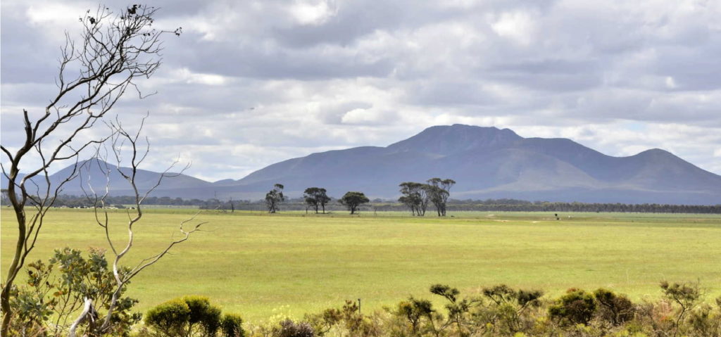
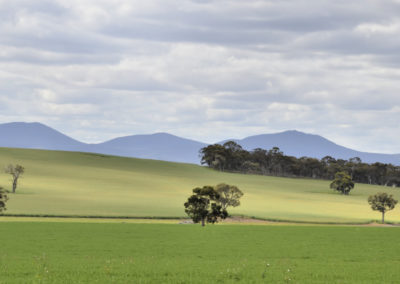
This drive from Pwakkenbak and Mt Barker takes you out into some very scenic farm land, with the Stirling Range as your ever-present backdrop.
This area is the headwaters of the Kalgan River, which flows into Oyster Harbour and then out to the ocean at Emu Point near Albany. As in any catchment, what happens in the broader landscape has an enormous impact on the waterways and estuaries in the bottom of the catchment.
In the flowering period of Djilba and Kambarang (August to November) there are places to stop and explore for wildflowers in small patches of bush and roadside reserves.
This stretch of road is about 20 km, which will take about 15mins to drive without stops on a good bitumen road. There are no facilities available.
Story of the place
Watch
Farming for the Future: Restoring Oyster Harbour Together
Credit: Gondwana Link
Listen
Listen to members of the Ranges Link initiative describe how they are restoring the health of the Kalgan River valley.
Noongar Boodja
Glen Colbung, from the Menang community of Albany, said in an oral history:
The Kalgan River would have been like all the other rivers in that it was a major source of food supply for Noongar people. In those days, and even after white settlement for a long time, the majority of those rivers and lakes were fresh water and were abundant in food supplies like turtles, marron, gilgies and certain types of fish as well as a source of fresh water for drinking. (Rowett and Pontin, Long Pools of Silence)
Kalgan River
This area forms part of the headwaters of the Kalgan River – the biggest river in this landscape. That fresh water, and the richer soils next to the river, drew early settlers to the banks of the Kalgan.
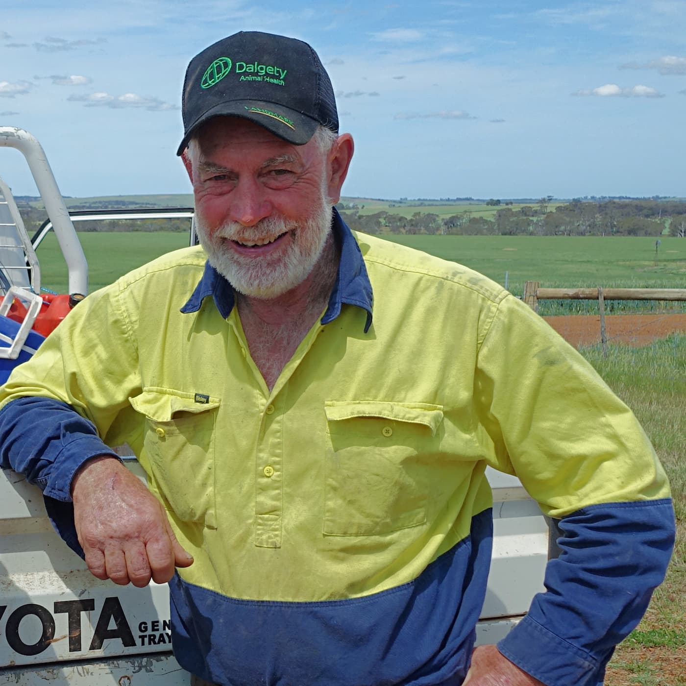
Tim Saggers
Landcarer and environmentalist, Kalgan Valley
“[The Kalgan] is a bit saltier nowadays than it used to be. It used to be quite fresh in the early days, when there was a lot more bush around.
It’s a bit saltier now, but it’s improving. And that’s due to the amount of trees planted in the catchment. I don’t think it’ll ever get back to what it was, as fresh as it was, but it’s better than it was 20 years ago. And hopefully it continues to improve.”
The Kalgan flows to the east between the two mountain ranges, then flows south on the other side of the Porongurups into the Oyster Harbour, and then out to sea at Emu Point, just east of Albany.
The Oyster Harbour Catchment Group formed in response to a rapid decline in the health of Oyster Harbour and a recognition of the impacts of farming activity in the catchment.
Settler history
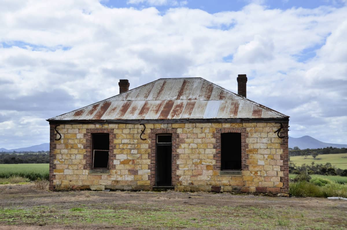
Image: Amanda Keesing
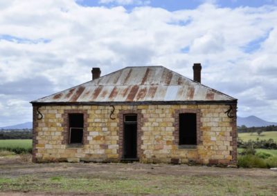
“Settlers spread slowly through the unfamiliar bush, often taking up small blocks with permanent water. The home block was used as a base from which stock were run in the surrounding bush. A few worked on a grander scale. John Hassell acquired a huge land holding around Kendenup in 1840 [and] established a homestead with extensive outbuildings on the banks of the Kalgan south of the present township of Kendenup.”
(Rowett and Pontin, Long Pools of Silence)
The rise of landcare
The ancient salt left behind in this landscape is evident in the exposed patches of salty land.
The Kalgan River Land Conservation District Committee was one of the earliest Landcare groups in Western Australia, formed when local farmers realised they had significant issues with salinity.
They later became the Oyster Harbour Catchment Group, which formed in response to a rapid decline in the ecological condition of the harbour.
Together these landcare groups have been active for over thirty years, and have achieved a remarkable recovery in the health of Oyster Harbour, as outlined in this short film.
Reconnecting landscape
Connected areas of uncleared bush are crucial in the broader landscape, and the Gondwana Link ecological restoration program is actively working in the landscape you can see here.
Ranges Link is the program working to protect and reconnect the remaining areas of bushland between the two mountain ranges.

Image: Amanda Keesing
See & Do
A transition zone
There are some interesting transitions in the landscape on the drive east along Woogenellup Rd. Rainfall declines rapidly, causing big changes in the trees and vegetation – from the marri (red gum) / jarrah around Mt Barker, into more wandoo (or white gum). This transitions rapidly into drier mallee and heathlands. Farming changes too, from smallholdings, viticulture and beef grazing, into mostly broadacre cropping.
Wildflower side trip
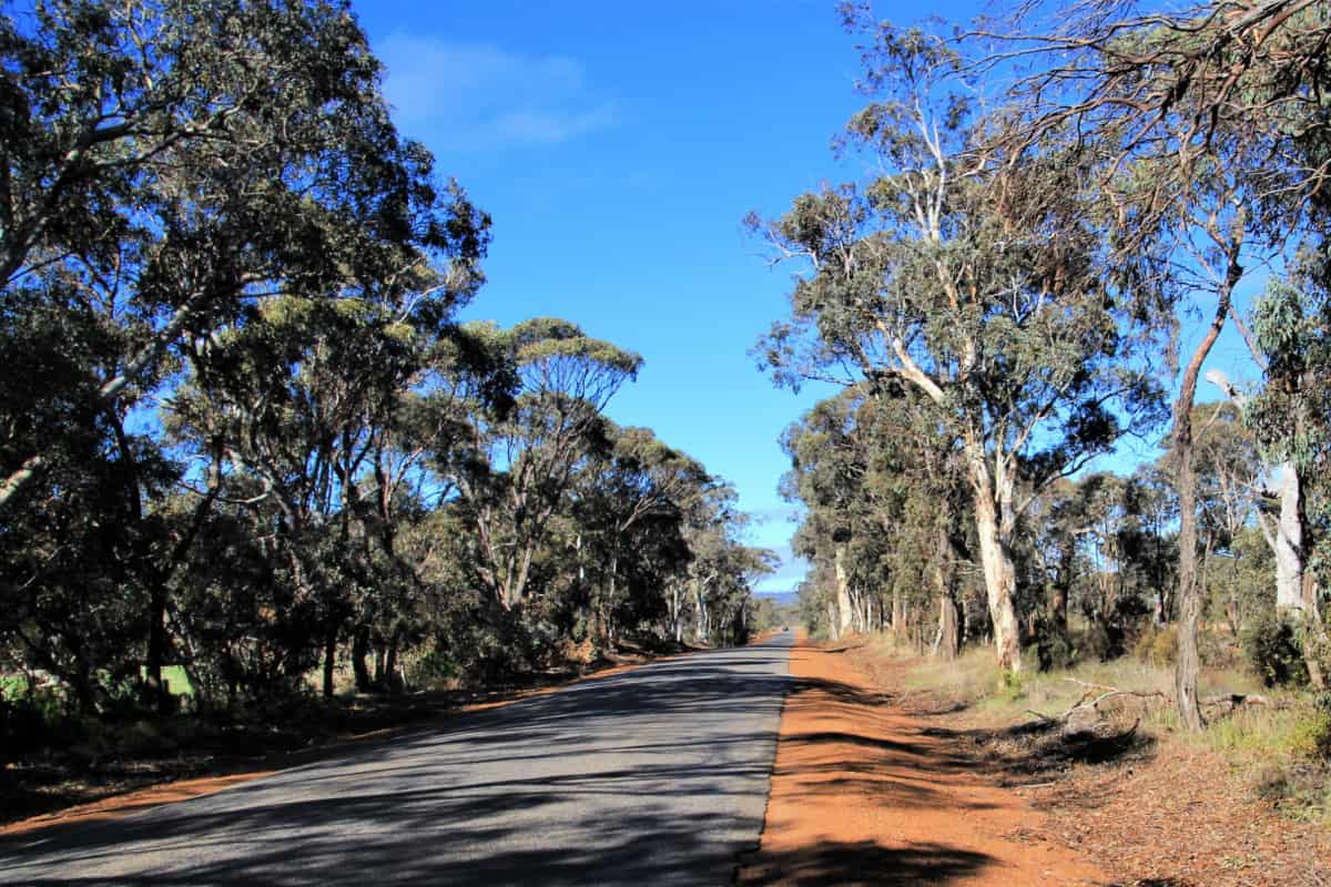
Carbarup Road is just 6km to the east of the main Mt Barker roundabout.
The road runs north along the railway line. There are reasonably wide bush reserves on either side of the railway, and during Djilba and Kambarang (August to November) you will see all kinds of wildflowers.
Giving back and getting involved
Two community-based organisations play an important role in ecological restoration in this area. Contact them directly to get involved in citizen science investigations or ecological restoration events.
Nearby
There are many other sites to visit nearby including:
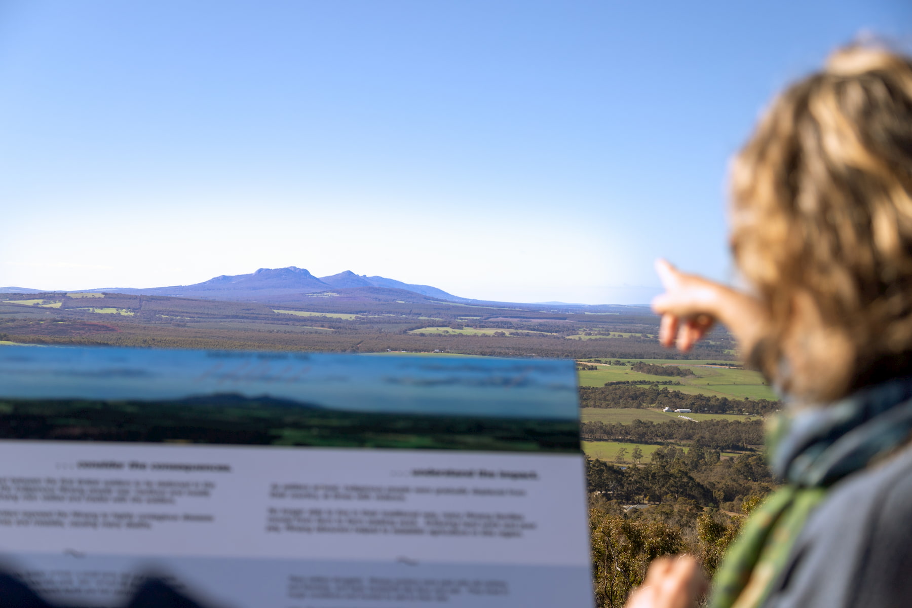
Pwakkenbak / Mt Barker Lookout
At 404m above sea level, this lookout provides a commanding view over the entire region, including both the Stirling and Porongurup mountain ranges.
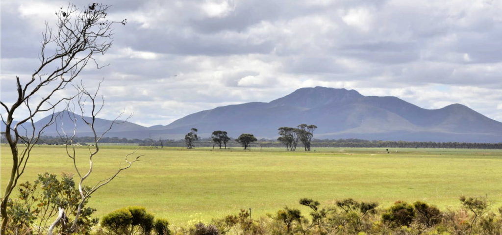
Woogenellup Rd - North
This scenic drive option takes you off the bitumen onto a good quality gravel road that takes you up close to the southern side of the Stirling Ranges.
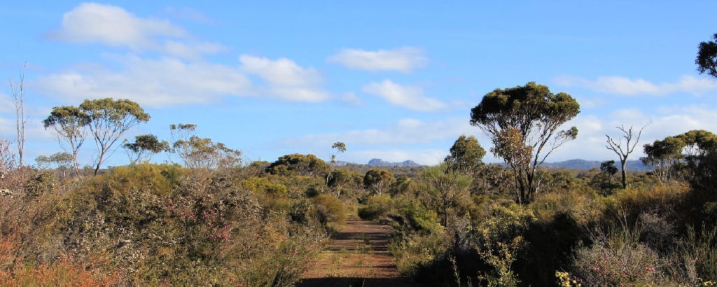
Twin Creeks Conservation Reserve
Nestled between the Porongurups and Stirling Ranges, Twin Creeks is a community owned conservation reserve - purchased and managed by the Friends of the Porongurup Range.
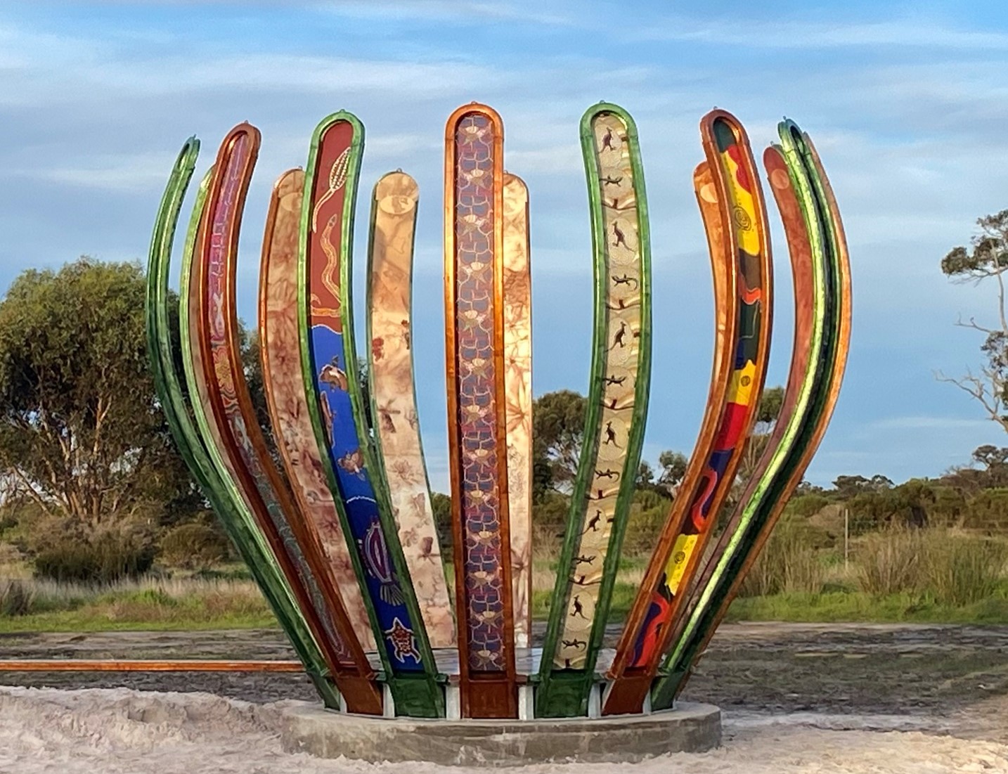
Gondwana Link Sculpture
The Gondwana Link Sculpture is on Knights Rd, on the Twin Creek Conservation Reserve. It is part of a broader Genestreams Songlines Sculptures Project.

The Stars Descend | Borongur | Friday 23 March 2023
Chapter 3 (Borongur) of The Stars Descend at Twin Creeks Conservation Reserve, Porongurup Range
Practical Information
Directions
Woogenellup Road runs east from the large roundabout just outside Mount Barker.
When to go
In late Winter patches of bright yellow appear in the farming landscape as the canola crops are in full bloom.
As with most places in south-western Australia, it is worth visiting during the wildflower season during Djilba and Kambarang (August to November) to make the most of the interesting vegetation in surrounding areas.
Where to eat and stay
See the suggestions from our friends at Great Southern Treasures:

