-
Approximately 6 hours
-
Some unsealed roads
-
Some bitumen roads
-
Cafe / Shop on journey
-
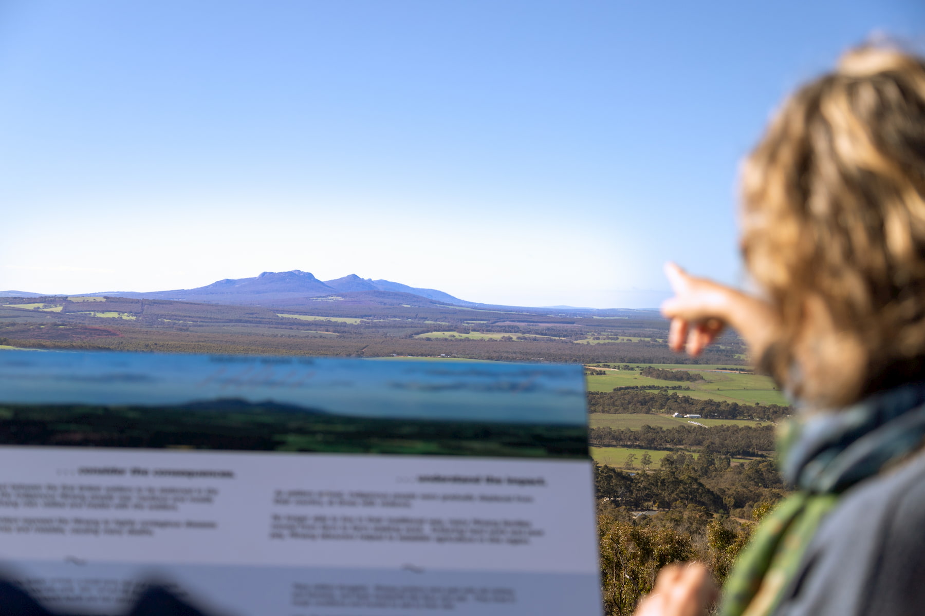
Start: Pwakkenbak / Mt Barker Lookout
Between the Ranges
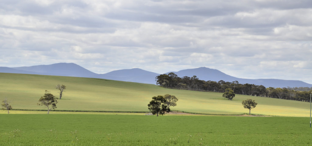
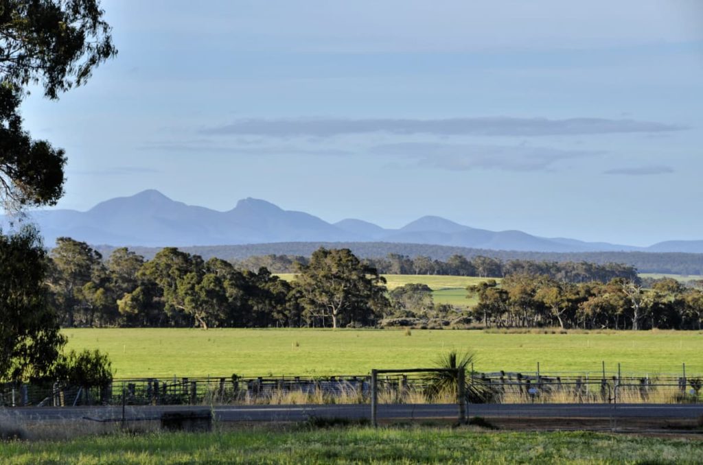
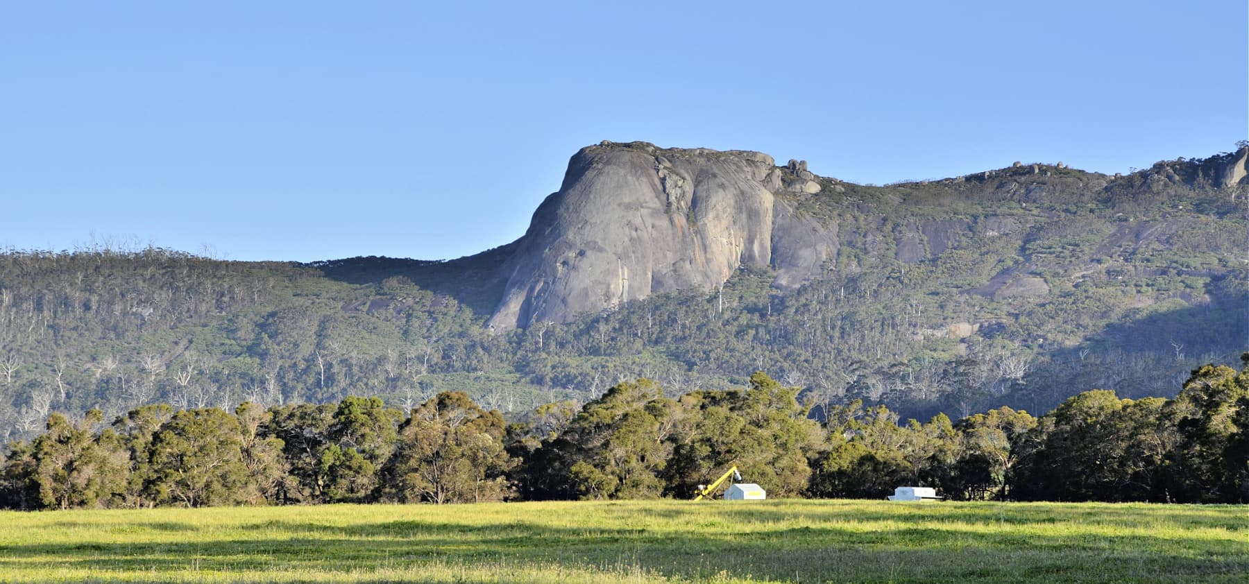
Beginning from the high point of Pwakkenbak (Mt Barker’s Tower Hill) this journey takes you to some of the lesser known spots in the Kalgan River valley between Koi-Kyeneruff (Stirling Range) and Borongur (Porongorup Range) – two of south-western Australia’s iconic areas.
This is one of Western Australia’s most biodiverse regions, which also has a long history of agriculture on the richer soils of Borongur and next to the Kalgan River.
Large scale development of farms after the Second World War saw widespread clearing, loss and fragmentation of habitats, excess silt and nutrient in the rivers and the emergence of salinity as a problem.
Since then the community led response has been, and still is, a remarkably successful landcare effort. Between the Ranges, most remaining habitats along the river and creeks and on farms are now fenced to prevent livestock grazing, and in some areas habitat is being carefully restored. Another major benefit of this landcare work is the extraordinary improvement in the downstream health of Oyster Harbour, which is the end point of the Kalgan and King Rivers.
This route will share some of the stories of the landcare leaders driving these changes.
Another unique initiative you’ll visit on this route is the Twin Creeks Conservation Reserve, which is owned and managed by a local community group and is open to interested members of the public.
This reserve plays a vitally important role in the Ranges Link conservation program, a community-based effort to re-connect the bush of the Stirling and Porongurup Ranges, as part of the broader Gondwana Link effort.
Route Highlights
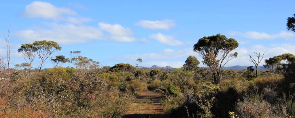
Woogenellup Rd flora road
This stretch of Woogenellup Road is a designated flora road.

Woogenellup Rd flora road and landcare plantings
A designated flora road, with some interesting landcare plantings also visible

Chester Pass Rd viewpoint
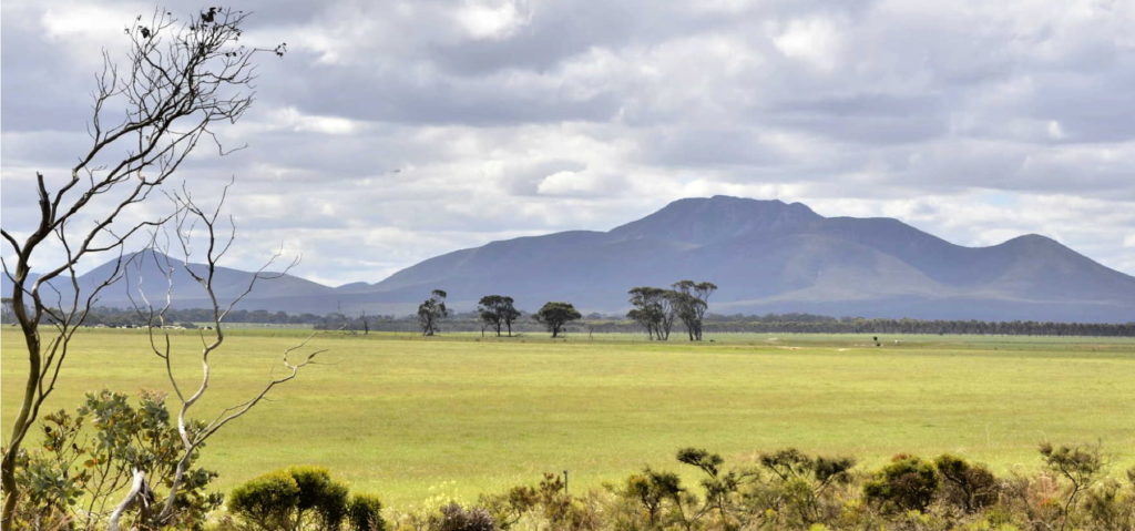
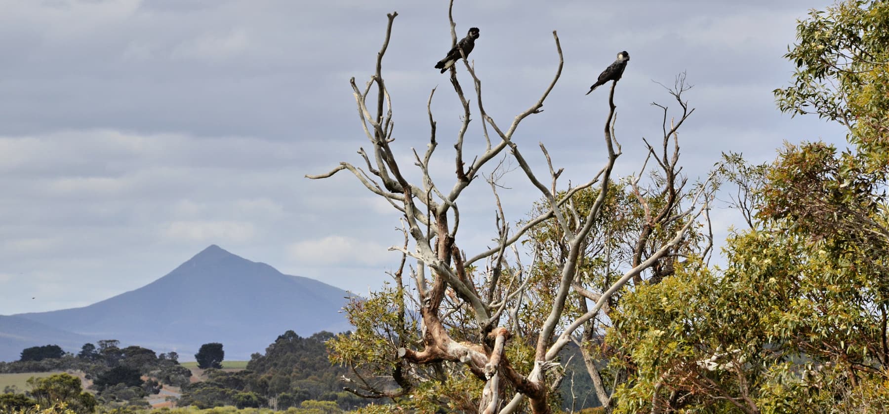
This is just a small gravel roadside stop with views of Koi-Kyenuruff (Stirling Ranges) and across farmland.

