-
Approximately 5 hours
-
Some unsealed roads
-
Some bitumen roads
-
Cafe / Shop on journey
-
Start: Robinson Rd turnoff
Take the scenic way to Albany
No it in a mad rush? There’s a more enjoyable way to drive between Albany and Perth, with some delightful bushland areas and wetlands along the way.
If you’re travelling down the Albany Highway, around 32 kms south of Williams turn east (left when heading to Albany) at Robinson Rd.
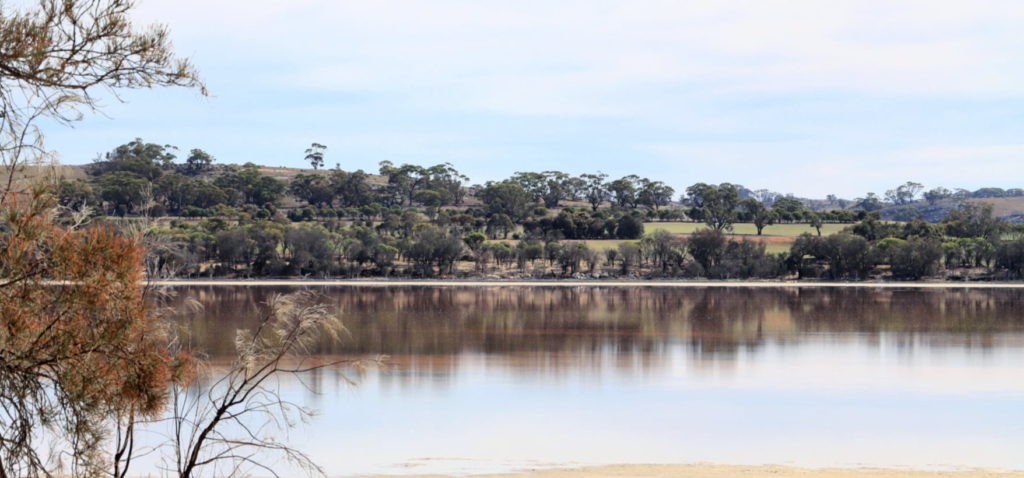
A short detour up Maders and Douglas Rd will bring you to Queerearrup Rd, and Lake Queerearrup, the largest lake in the Shire of Woodanilling, is an ephemeral lake that now rarely fills.
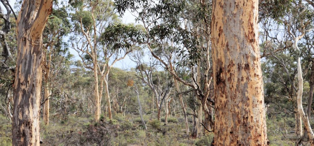
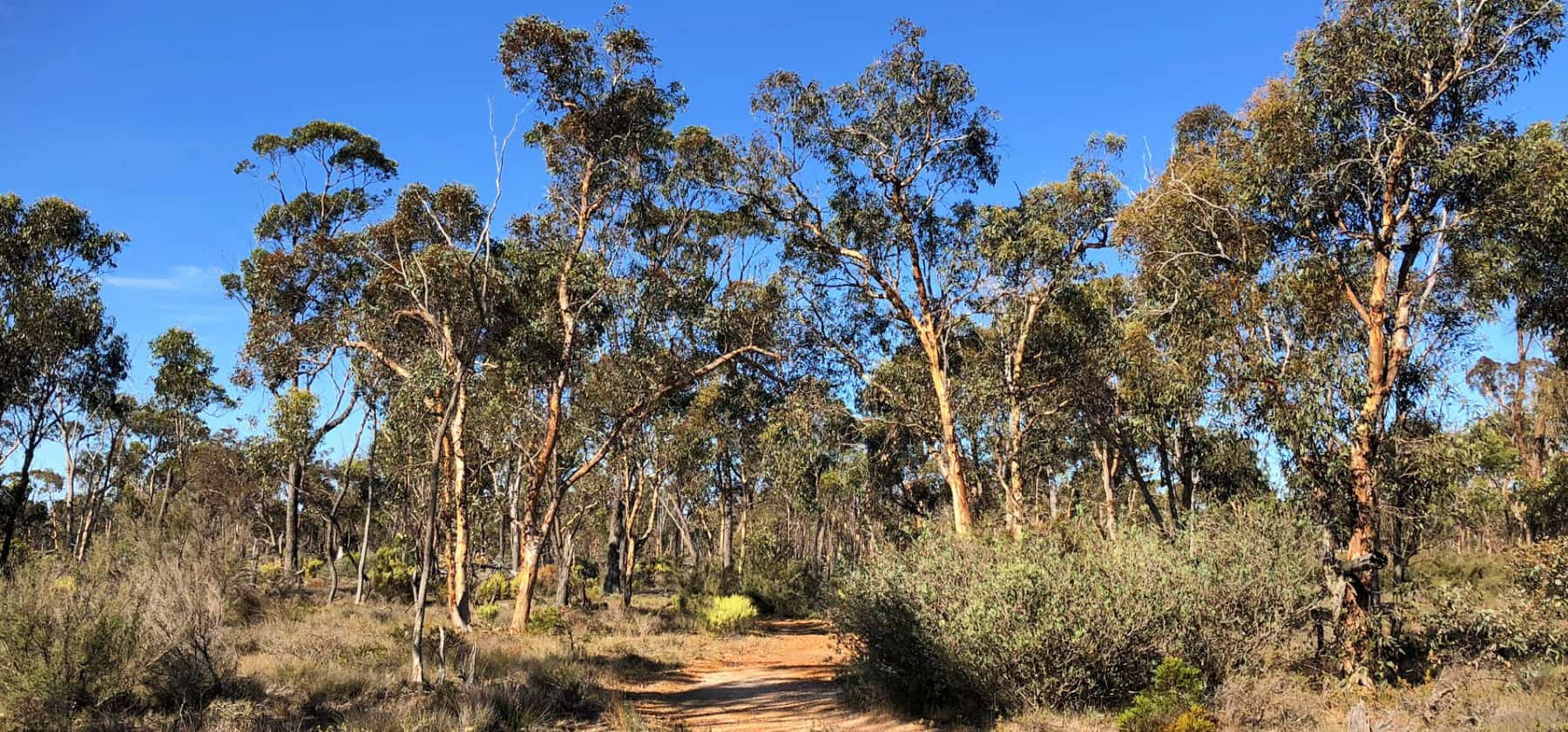
From there its back to Robinson Rd and then down Carters Rd to Wingedyne Reserve, [also listed as Wingedine on some maps]. This is a remarkably diverse and healthy patch of bush. From Wingedyne a short drive along Orchard Rd will bring you to the small town of Woodanilling, with its well preserved heritage buildings.
From Woodanilling travel south on the Great Southern Highway and admire the beautiful woodland trees on the roadside.
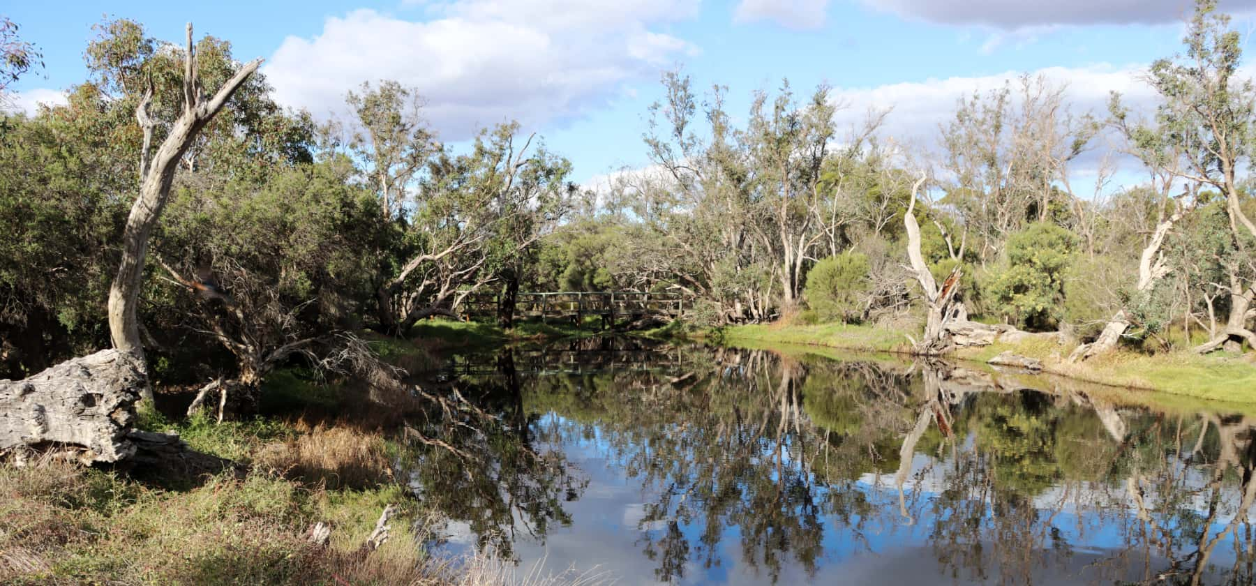
In Katanning, Police Pools Rd will take you south to Twonkwillingup-Police Pools Reserve, a small reserve that is a haven for waterbirds and woodland birds.
Just past Twonkwillingup you can turn west on Schultz Rd to re-join the Great Southern Highway.
The Great Southern Highway follows the railway line, which was surveyed onto the flattest, and often lowest, part of the landscape. You will notice how very gently undulating the country is along the road, and how just a few metres change in elevation can mean the difference between healthy trees and very stressed, sometimes almost dead looking trees. That is the impact of a rising salt watertable you can see, with the slightly lower areas, generally only 1-2 metres lower, being close to the saline watertable.
Farmers are responding to the threat, and along the road there are many examples of landcare tree planting. Sometimes it is large areas of Tree Lucerne on the sandy soils, where it has been planted as sheep feed, to stop wind erosion, and to reduce the saline watertable. There are also many fine examples of tree belts across the larger paddocks.
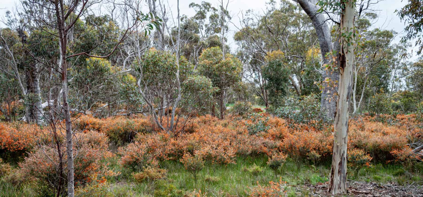
Keep driving on to Broomehill and Boot Rock Reserve, just south of town, which comes alive in spring with wildflowers and orchids.
Either side of Tambellup is an old sand dune system, bordering salt flats, and you can see extensive plantings have been undertaken here – many by the Tambellup Aboriginal Community working with Greening Australia.
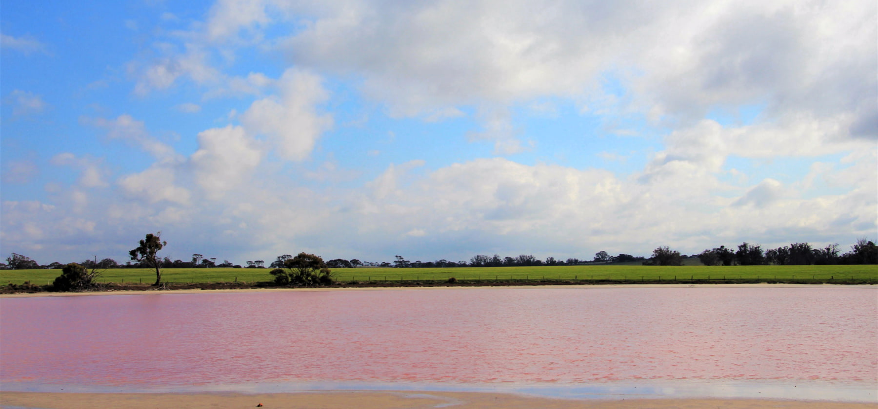
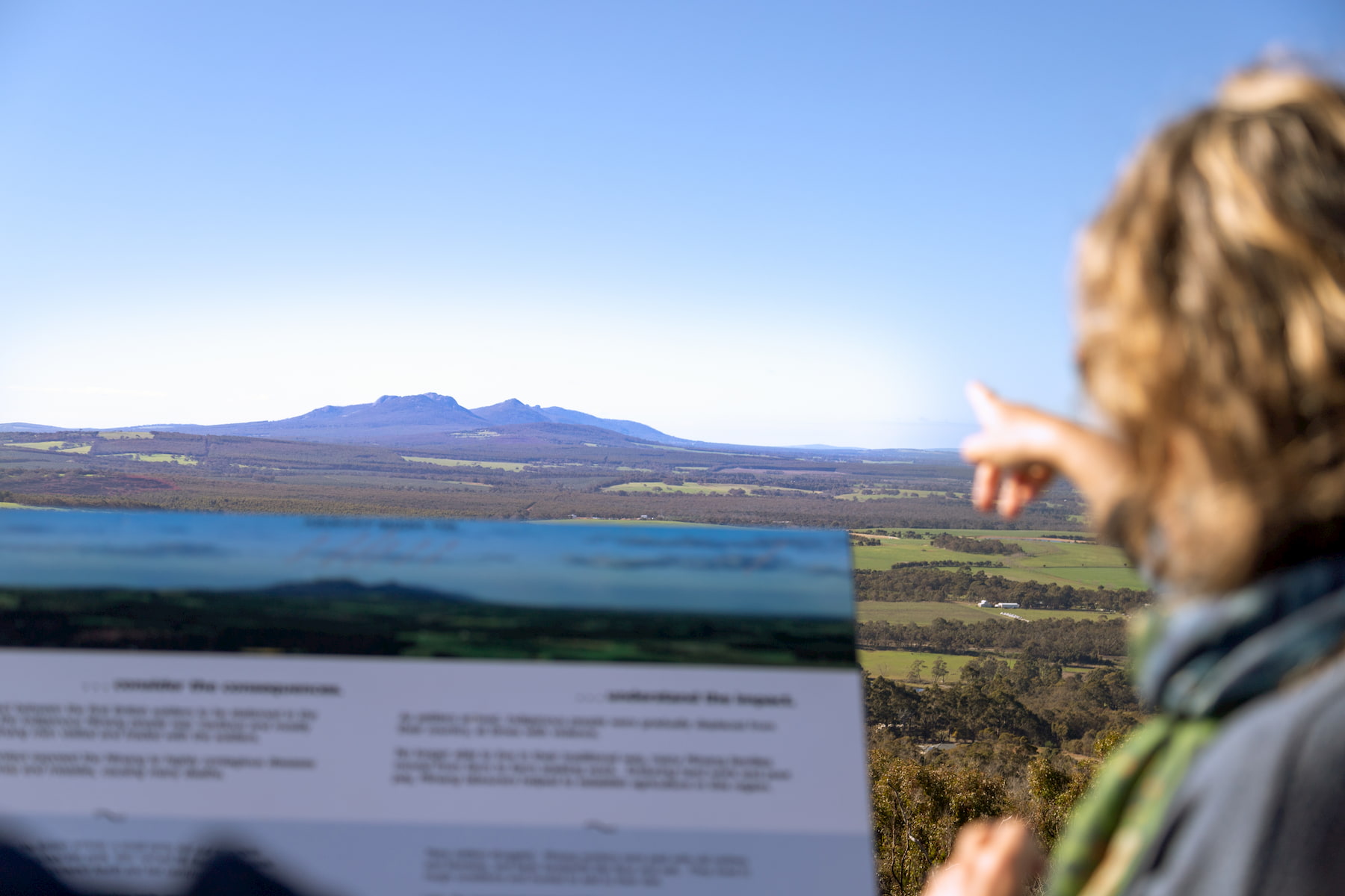
Just north of Cranbrook the Great Southern Highway winds through beautiful salt lakes with spectacular views of Koi-Kyuneruff (Stirling Ranges). The lake system here is thought to have formed when the rise of the Stirlings blocked an ancient river system. Some of the lakes have algae in them that turns them a spectacular pink – but best to admire that as you drive – the road is winding here and there are no safe stopping spots.
At Cranbrook there is a lovely opportunity to stretch your legs at the Cranbrook Wildflower Walk, and area of largely yate woodland just south of the town. Always pleasant, it comes even more alive in spring with a burst of wildflowers and orchids.
After Cranbrook, the Great Southern Highway rejoins the Albany Highway, and Albany is just around 90km to the south.


