Overview
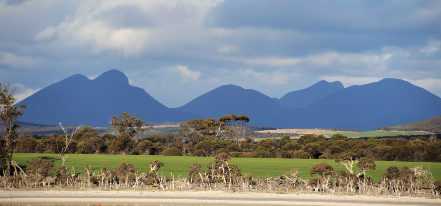
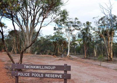
Twonkwillingup was an important meeting place and water source for Noongar people, long before European settlement. The name is thought to mean ‘a place to sit and listen’, because of the association of ‘twonk’ with the ear or hearing.
The pools became known as Police Pools after the area was used as an outpost of the Kojonup Police Station between 1865 and 1870.
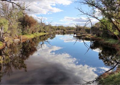
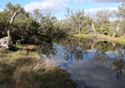
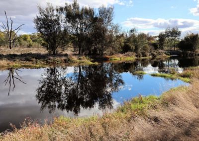
The pools, or channels, usually only flow in times of high rainfall. They are at the bottom of the catchment of the Katanning Creek, which in turn runs to the east into the broad floodplain of the Coblinine River, upstream of Lake Ewlyamartup.
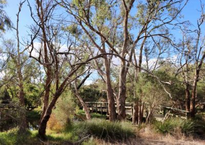
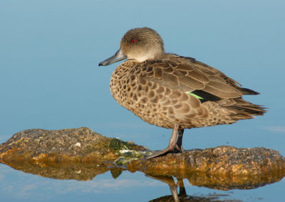
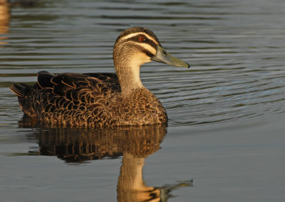
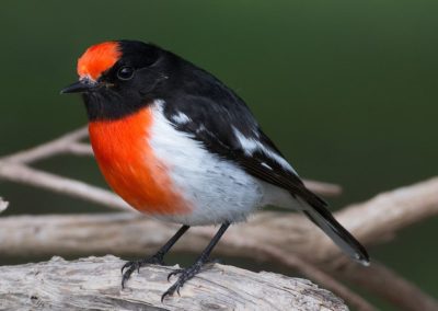
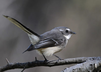
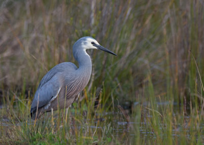
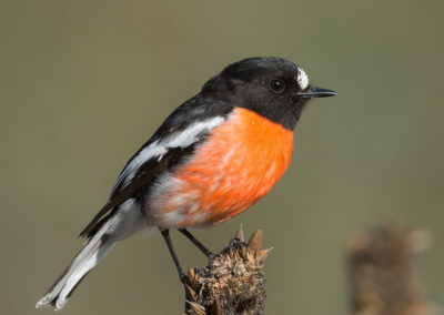
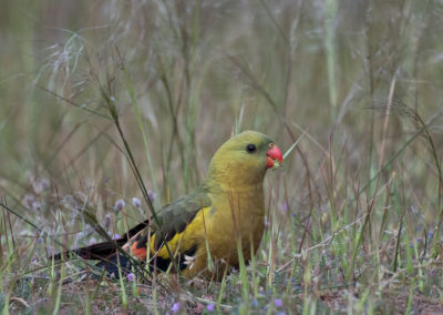
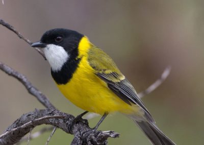
Now Twonkwillingup is a 42ha nature reserve, with boardwalks that weave in and out of the wetlands. It is a special place for birdlife, with around 80 species recorded here.
Story of the place
Listen
Listen to Ella Maesepp from Katanning Landcare describe the inspiring and sobering work to combat vegetation loss and land degradation in the Shire of Katanning.
Noongar Boodja
The Katanning and Kojonup areas have been meeting places for a very long time. They are biological transition zones – where the jarrah forest (to the west), wheatbelt (to the north) and mallee (to the east) bioregions meet.
Biogeographical boundaries created cultural boundaries, and so this is an area where three groups of the Noongar nation converge: Goreng, Kaneang and Wiilman. As a source of fresh water and home to a bounty of food, Twonkwillingup was an important campground and meeting place.
The name relates to the important Dreaming story of Mulka with Twonkwillingup specifically relating to Mulka’s ear.
This area also marks the boundary which divides language groups using the suffix ‘up’ to denote place of (like Kojonup and Tambellup) and the suffix ‘ing’ or ‘in’ to denote the same (e.g. Katanning, Woodanilling and Wagin).
Long after the Noongar people were displaced, they continued to camp in this area.
Settler history
Sandalwood cutters and drovers were roaming this country long before the town of Katanning was established. The Kojonup Police Station set up an outpost of troopers here to protect their interests – in a common pattern of settlement where Noongar campgrounds, with their water and food sources, were taken over by the newcomers.
From The West Australian in 1939:
[the troopers] had to perform many duties not now associated with the Police Department. At times they drove the mail, often they had to provide meals for coach passengers, and they were required to visit every settler at regular intervals. When the telegraph line was first erected repairs had to be carried out by the police troopers in the country districts.
The police presence at Twonkwillingup ended in 1871, and then the town of Katanning was eventually created in 1889 when the Great Southern Railway was built.
Known by the settlers as Police Pools, the wetland area became a popular community recreation area until 1938 when the Katanning swimming pool was opened. There is now a memorial to the original Police outpost here and this is the location of the annual Police Remembrance Day Service.
As the impacts of massive landscape change resulted in increased salinity in the 1950s, the Twonkwillingup /Police Pools area became quite degraded and neglected.
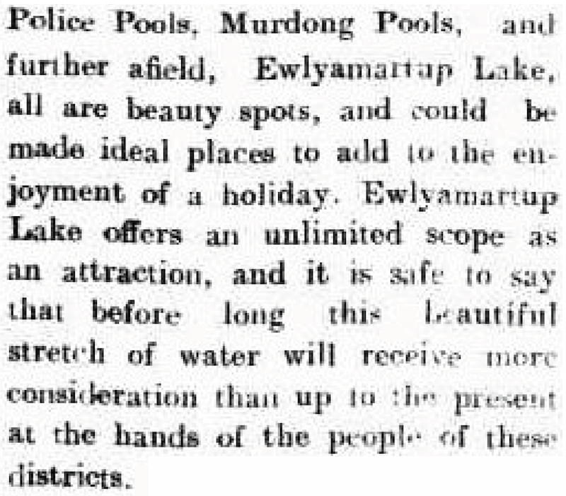
Tambellup Times, 3 December 1921
Restoration
In the surge of community-based landcare work in Western Australia in the 1980s, the Katanning community once again became interested in the reserve around Twonkwillingup.
The Katanning Creek Catchment Group (KCCG) sought funding for work throughout the catchment, including Twonkwillingup at the bottom of the catchment. In 1998 the group won an Australian Landcare Award.
Luke Pen, in his 1999 book ‘Managing our Rivers’ did not hold back when he described the immense task for the KCCG:
Today the pool area is salinized, sedimented, polluted with organic matter, choked with weeds, mosquito ridden and unsightly from the death of trees and the excavation of the adjacent area for sand.
But the KCCG has taken on the pools also, realising that the rehabilitation of the catchment will be rewarded by improvement in water quality in these pools. Twonkwillingup will once again become valuable stream habitat and an environmental amenity for humans.
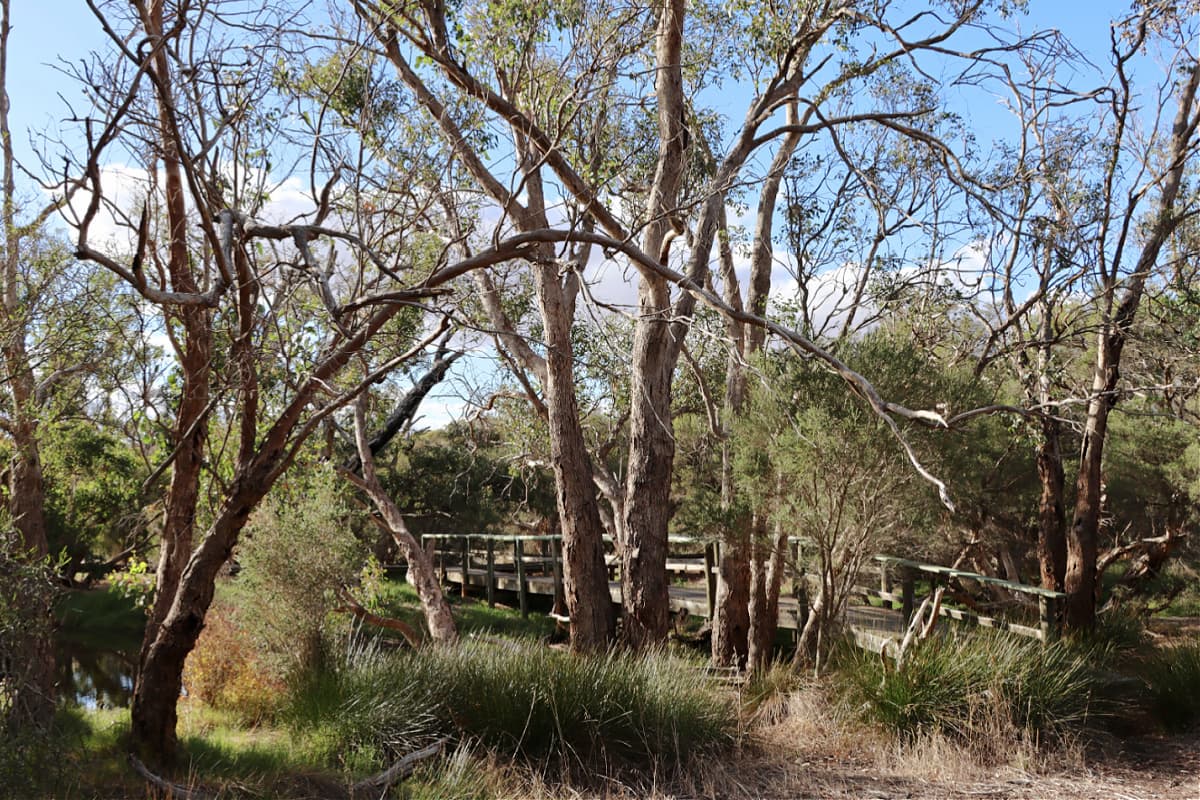
Much rehabilitation work was done by the community together with government agencies, including planning, earthworks, flora and fauna surveys and monitoring. Some revegetation of local species was done alongside a boardwalk through the wetlands.
Katanning Creek Catchment Group no longer exist, and Katanning Landcare is now the relevant landcare group for this area. They recognise that the area needs some attention, and they hope to do more work there soon.
See & Do
Walks and boardwalks
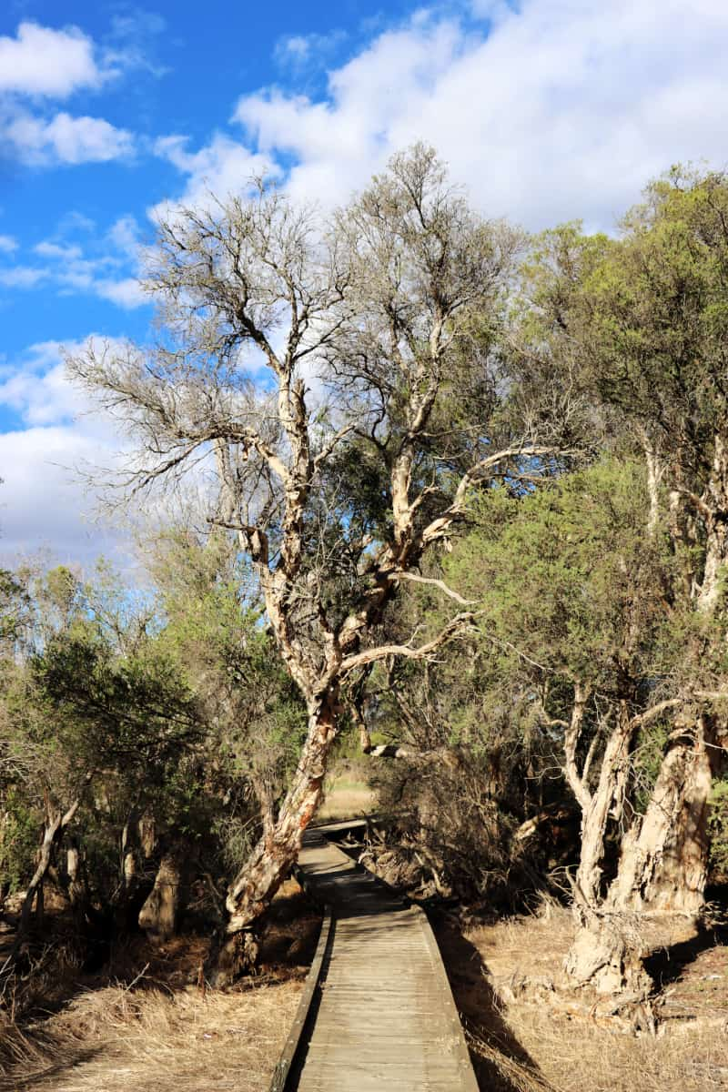
Image: Nicole Hodgson
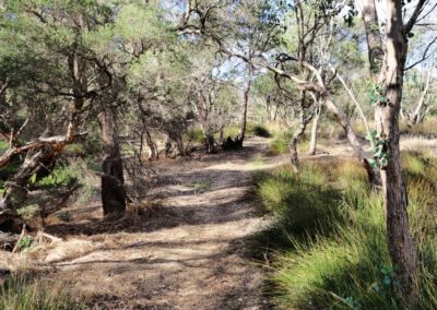
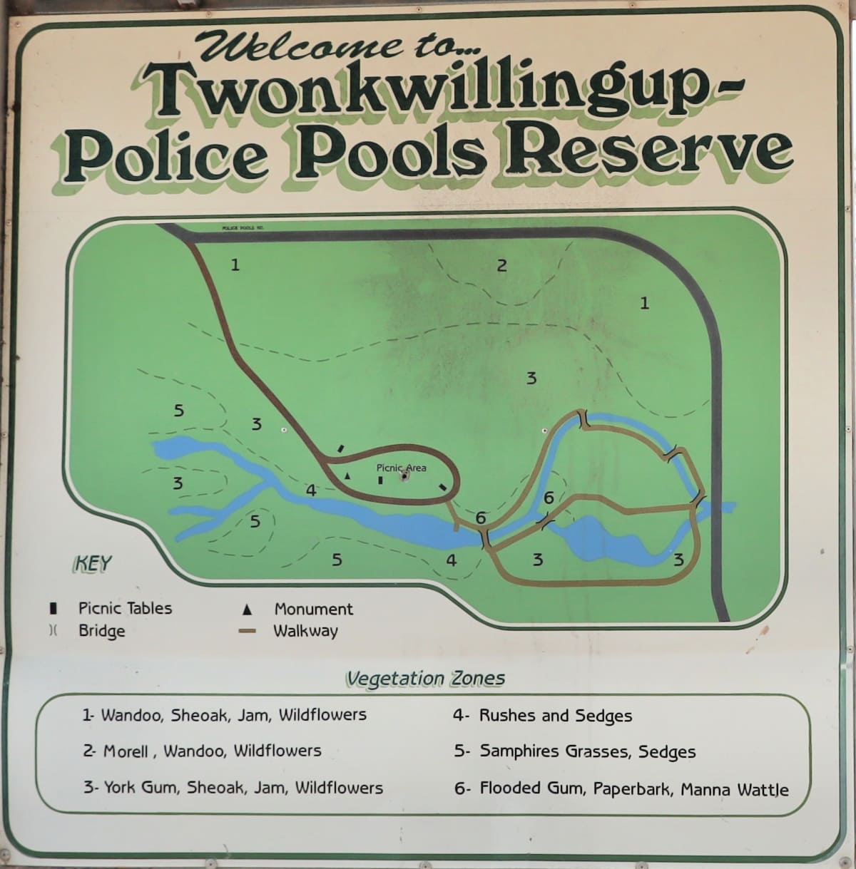
In the restoration work done at Twonkwillingup boardwalks were constructed through the wetlands, resulting in looped walking trails over the wetlands and through the bush.
The map on site shows the boardwalks with a rough guide to the different vegetation types.
Birdlife
Plantlife

The 42ha of the Twonkwillingup Reserve are a combination of wetlands, woodlands and floodplain.
Much of the reserve is made up of the open woodland country once common throughout the wheatbelt, incorporating York Gum, Sheoak, Manna wattle and Jam wattle.
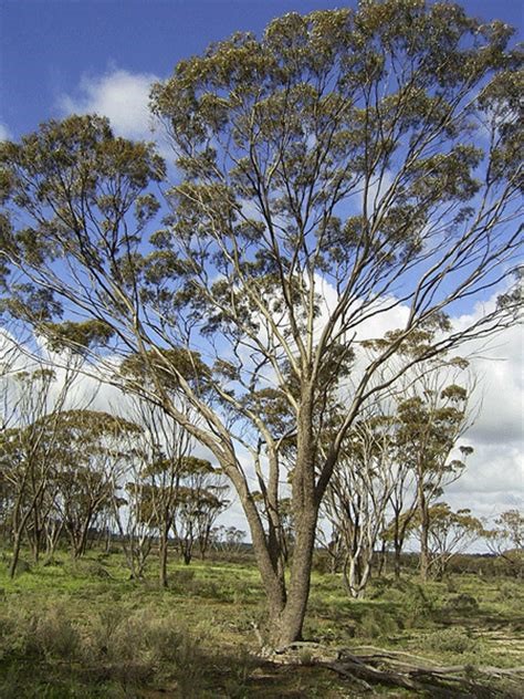
York Gum (Eucalyptus loxophleba)
Image: Katanning Landcare
York gum is one of the most common trees across the wheatbelt, noted for its association with fertile soils.
It is “a large mallee that behaves like a tree, and is able to disperse locally when rain wets the ground for extended periods.” (Nathan McQuoid, Lifting the Bonnet on Wheatbelt Woodlands)
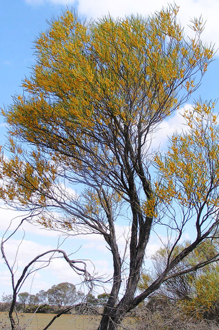
Jam wattle (Acacia acuminata)
Image: Acacia World
Jam is endemic to the drier parts of south-western Australia, and is often found in conjunction with York gum, and sandalwood, where some remains.
Jam was very valuable for Noongar people. The gum was eaten to treat diarrohoea and aid digestion. The flowers were crushed and vapours inhaled to produce a good night’s sleep. The gum was also mixed with water to make a drink called djilyan.
The understorey contains a number of native grasses, shrubs and sedges, as well as everlastings and donkey orchids. Other species include:
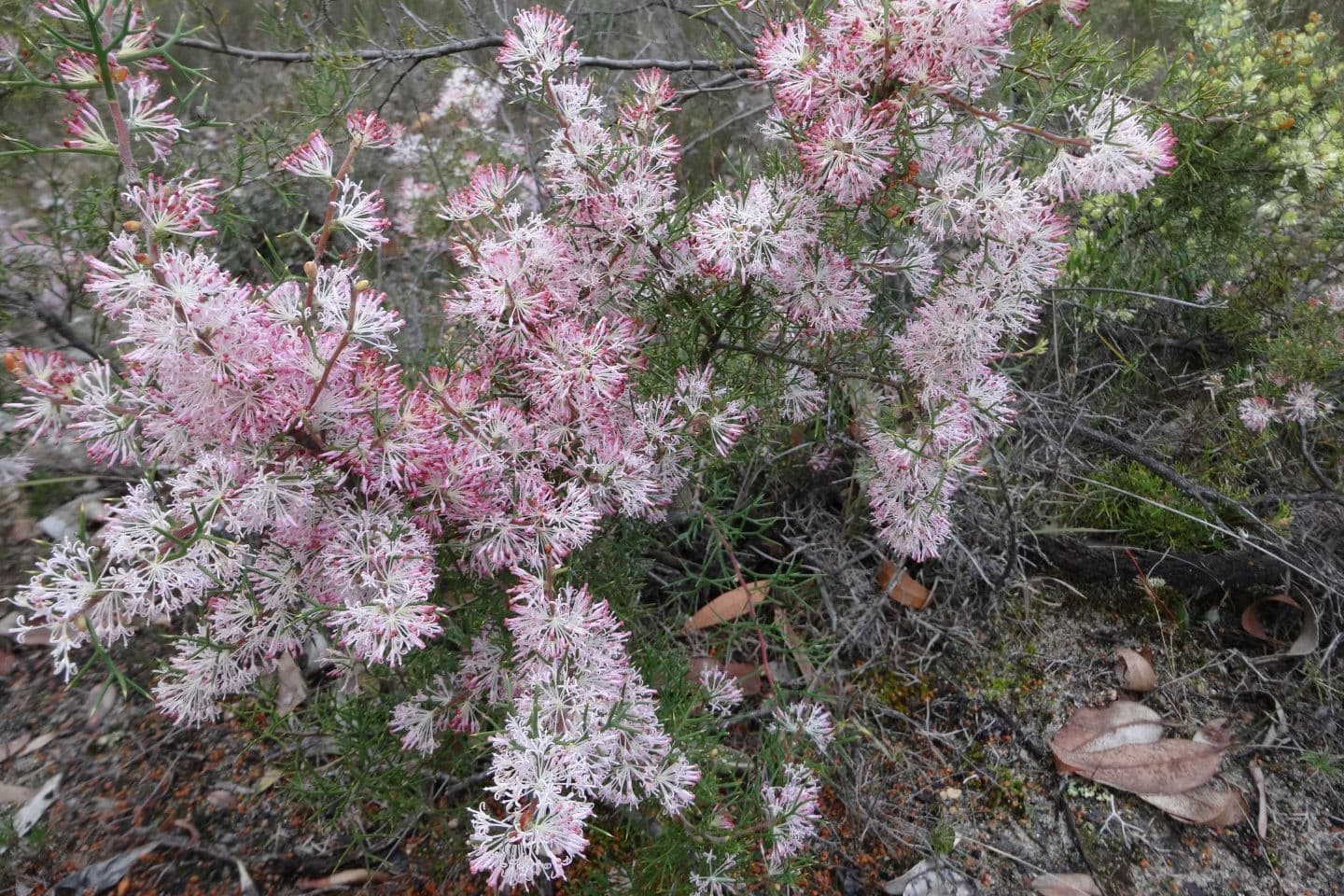
Hakea lissocarpa
Image: Southern Flora
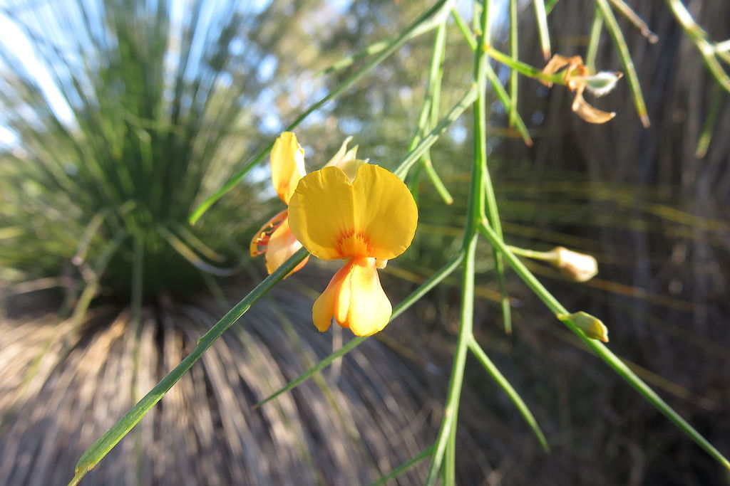
Jacksonia sternbergiana
Image: Aussie Oc, CC BY-SA 4.0
Closer to the pools can be found the species that by their name suggest their suitability to locations next to water, including Swamp Paperbarks and Flooded Gum.
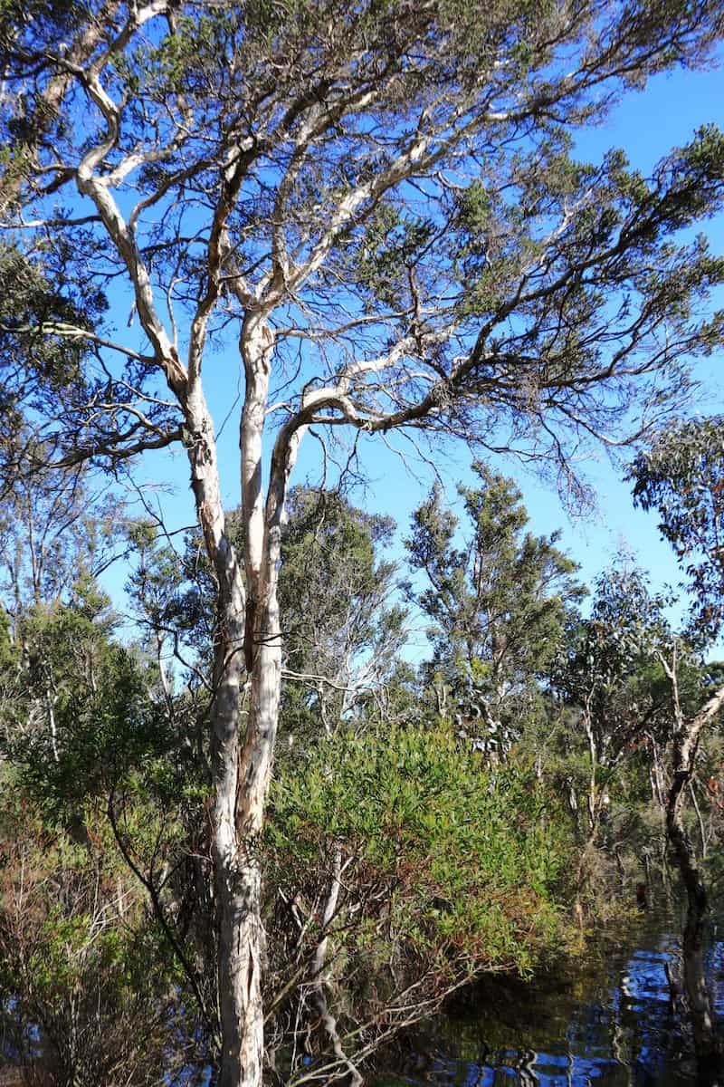
Swamp Paperbark
Image: Nicole Hodgson
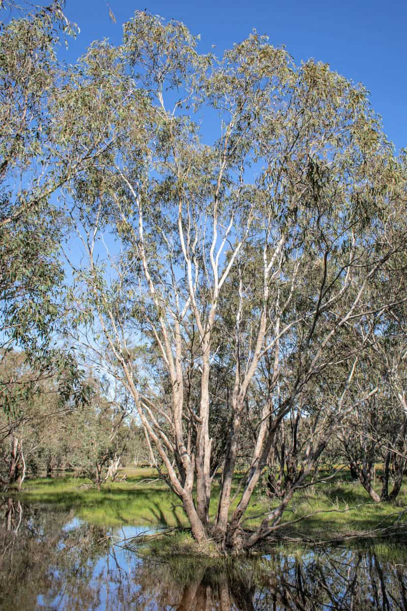
Flooded gum (Eucalyptus rudis)
Image: Honkeynuts.com.au
Pocket Guides
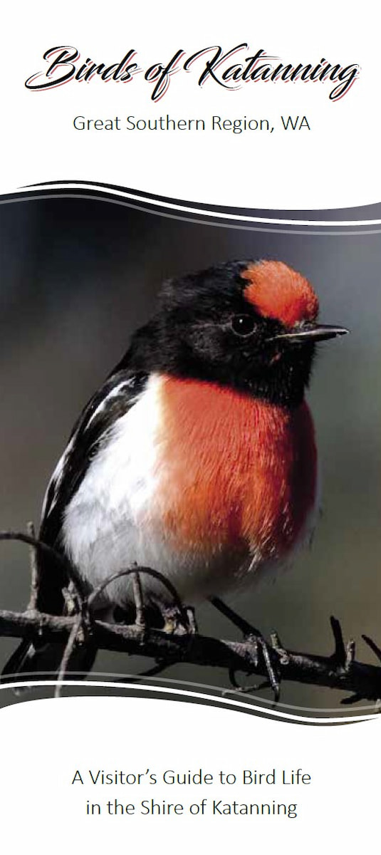
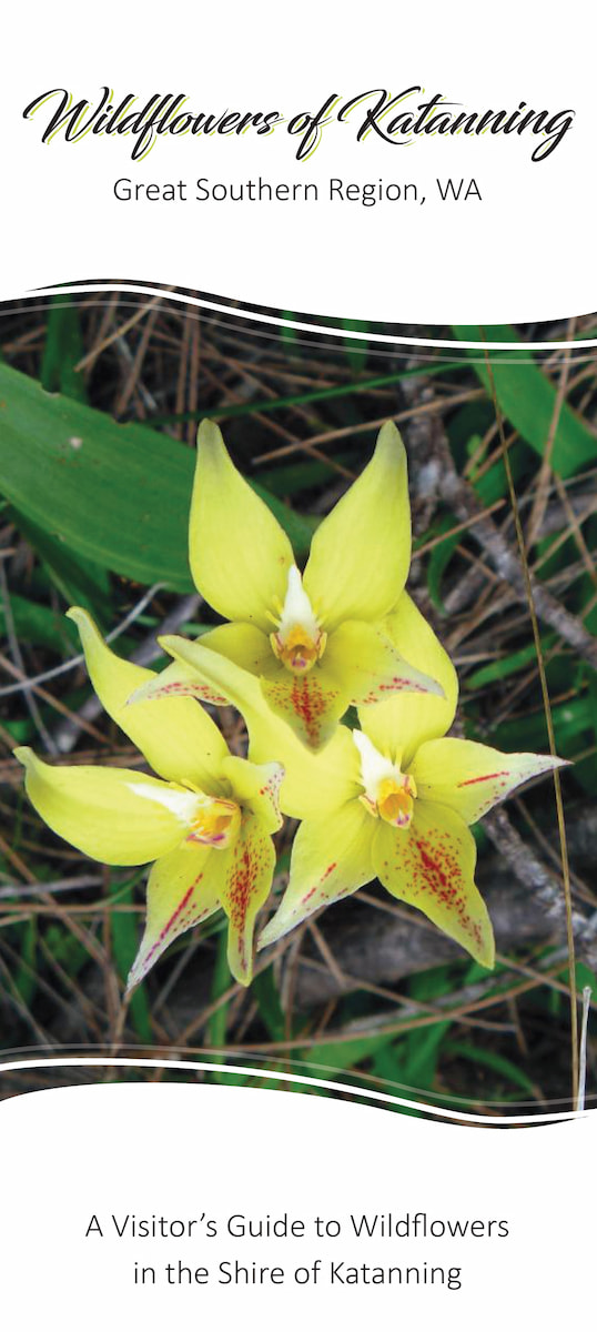
Two guides – Birds of Katanning and Wildflowers of Katanning – have been produced by Katanning Landcare. They are available for just $2 from the Katanning CRC, Katanning Landcare, Katanning Caravan Park and Lost Katanning.
Citizen Science
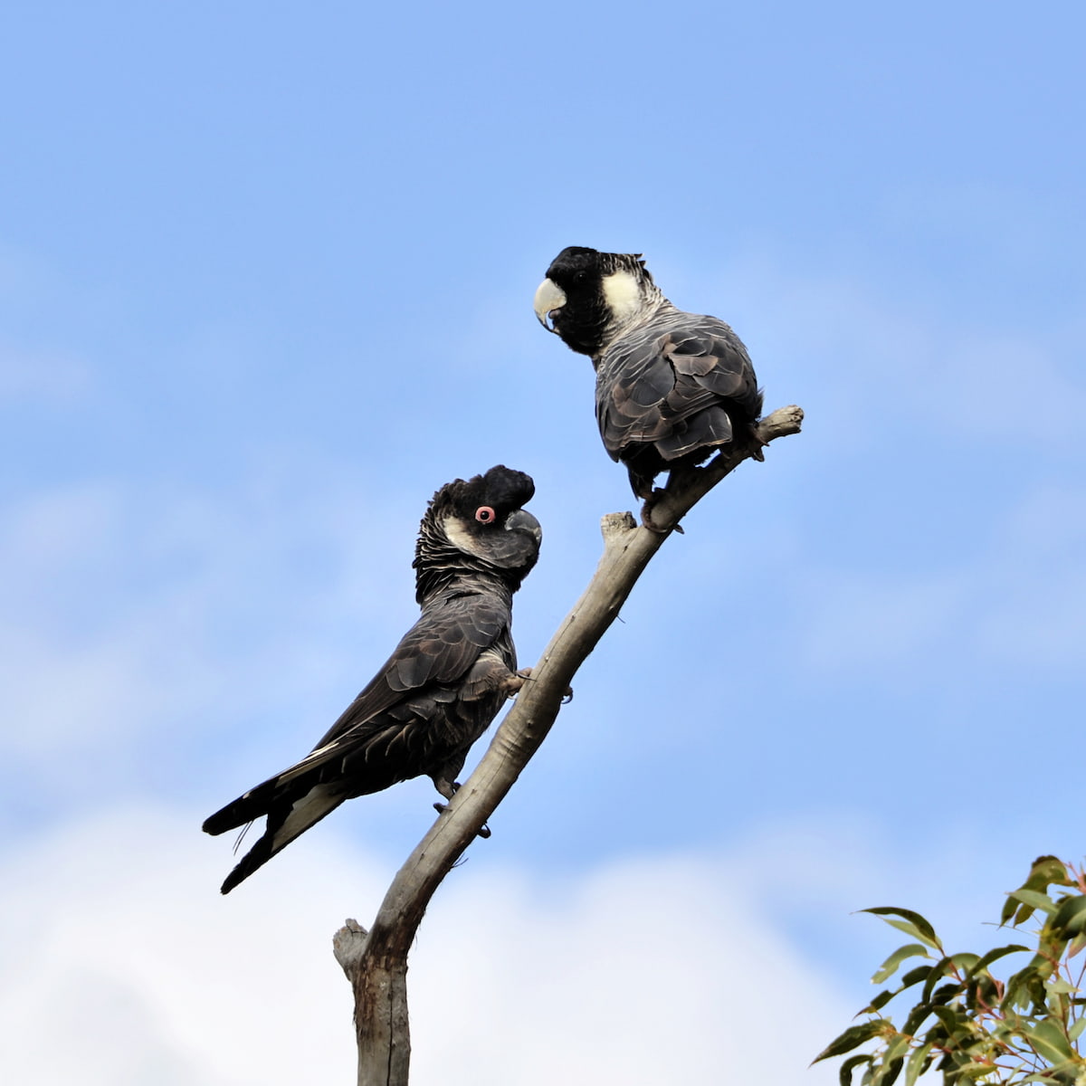
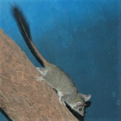
Katanning Landcare and their partners record community sightings of Carnabys Cockatoos and Red Tailed Phascogales.
Carnaby’s Cockatoos
Image: Amanda Keesing
Red-tailed phascogale
Image: Interllectual – CC
If you see either of these species, please report the sighting to hello@katanninglandcare.org.au
Giving back and getting involved

Katanning Landcare is committed to finding and implementing local solutions to global environmental problems. They focus on education, leadership and on-ground action. They rely on grants, sponsorship and donations. You can support their excellent work by making a tax-deductible donation at their website.
Practical Information
Facilities
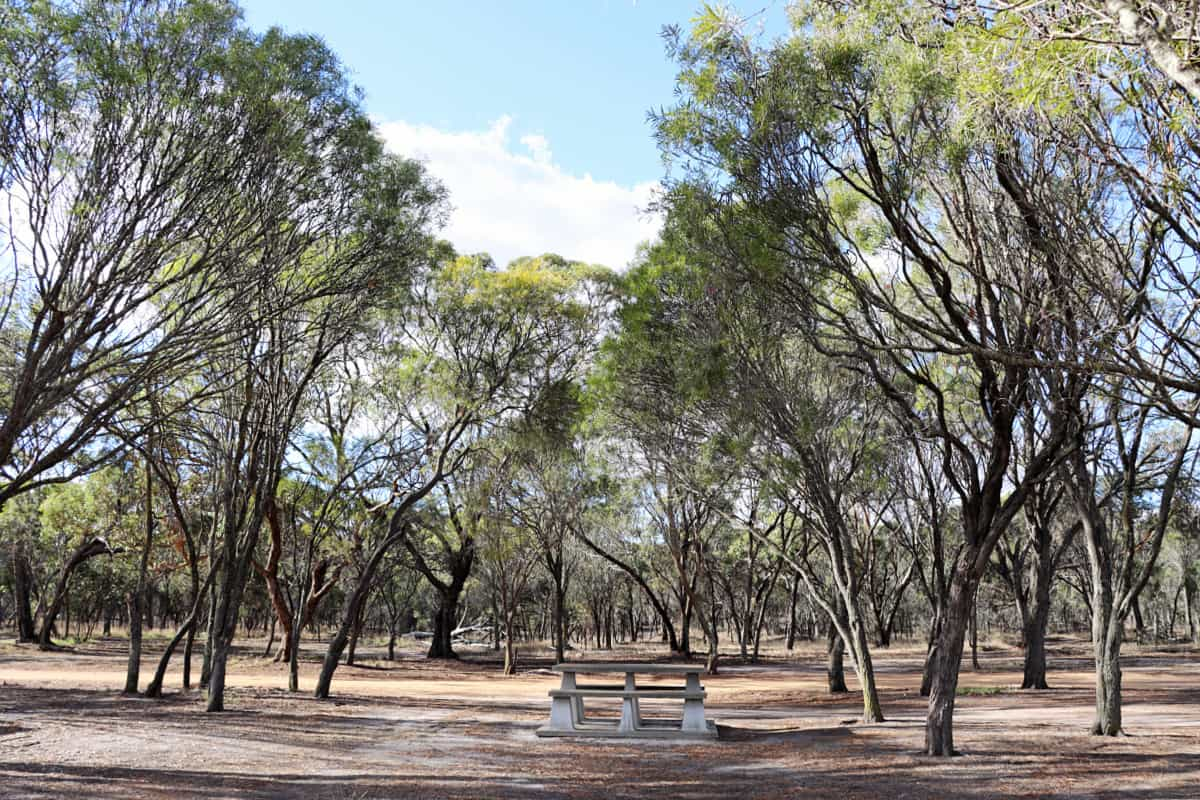
There are limited facilities at Twonkwillingup.
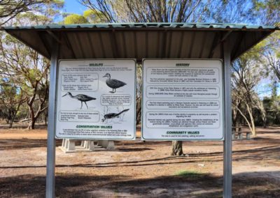
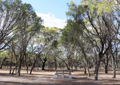
In the parking area are some picnic tables and seating, along with interpretive signage outlining some of the history of the place and conservation values of the reserve.
Closest towns
Katanning – 4km via Police Pools Rd
Where to eat and stay
See the suggestions from our friends at Great Southern Treasures:

