A Mediterranean climate in an ancient landscape
There are many factors that give the Great Southern and south-western Australia its very special nature. Two of them are climate and geological history.
Mediterranean climate
The southwest corner of Australia has a Mediterranean climate, which generally means moist mild winters and warm to hot and mostly dry summers.
This basic climatic type is shared with other parts of the world that are also described as Mediterranean, including the countries around the Mediterranean Basin itself, parts of western North America, in southwestern South Africa, parts of central Chile, and part of southeastern Australia. All these countries occur between about 30-50° south or north of the equator.
Image: Barbara Madden
But the broad classification of Mediterranean can include considerable variations in temperature, rainfall and of course vegetation types.
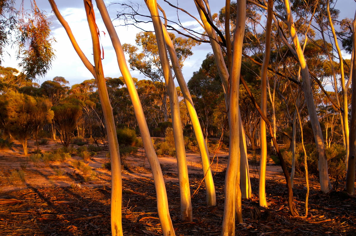
Within the south west, there is a clear gradient of both rainfall and temperature from the southwestern corner through to the semi-arid interior beyond the Great Western Woodlands, reflected in a transition from the karri and jarrah forests, through drier and warmer woodlands of wandoo, yate and mallees, through to the shrublands bordering the more desert-like environments north east of Kalgoorlie.
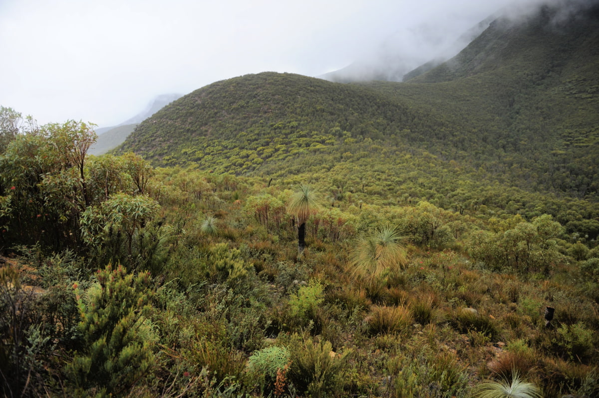
This large scale gradient is not even across the landscape. Landforms like the Porongurup and Stirling Ranges have a strong influence on local rainfall patterns.
Recent trends show a decrease in total rainfall and its seasonal pattern over the past 30-50 years across the southwest due to climate change which is expected to continue for some time yet.
Image: Ami Vitale
Geology and landforms
The underlying geology is the base on which the landforms and soils we see today have been built.
Southwestern Australia can be pictured as a central and dominating plateau of Archaean granites and gneisses, formed somewhere between 2500 and 3700 million years ago. This Yilgarn Craton was worn down by glaciers in the great Ice Ages about 250-350 million years ago but other than that, has had no mountain building events or other eroding forces other than the slow wearing away by weather.
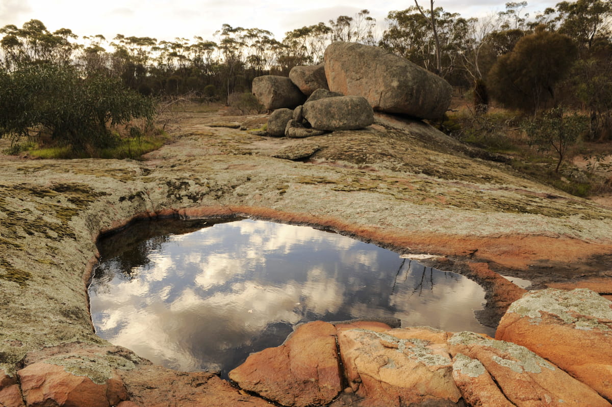
Image: Ami Vitale
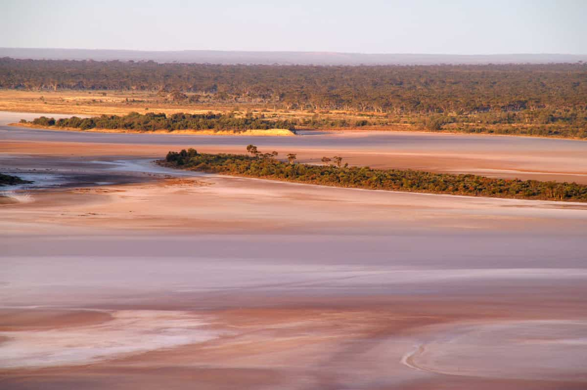
Image: Barbara Madden
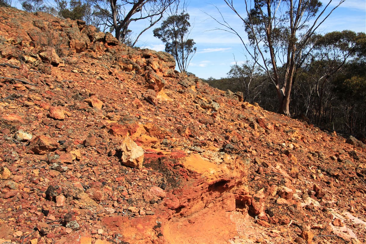
Through wet and dry cycles, laterisation of the crust occurred and resulted in the iron and aluminium-rich gravels we see particularly in the higher rainfall areas.
This process slowed over much of the craton as Australia drifted further north and into an increasingly arid climate. As aridity increased, the great rivers that used to flow to the east and into the ocean where the Nullarbor Plain now exists, became a series of salt lakes, while to the western and southern margins of the craton, rivers continue to flow to the Indian and Southern Oceans.
Albany Fraser Oregon
Along the southern and southeastern edges of the Yilgarn Craton, there were other massive events associated with Australia and Antarctica first coming into contact and then later tearing apart. A series of events termed the Albany Fraser Orogen produced complex formations that shape today’s southern coastal and near-coastal landforms.
Some of these major formations are Proterozoic granites and gneisses, and include the Nornalup Complex where granite outcrops like Mt Lindesay and Mt Frankland occur within the forest mosaic, the Porongurup Range and the coastal granites of the Albany and Bremer regions, such as Mt Manypeaks, the Bremer peninsulas, and many of the islands off shore from Albany and Esperance.
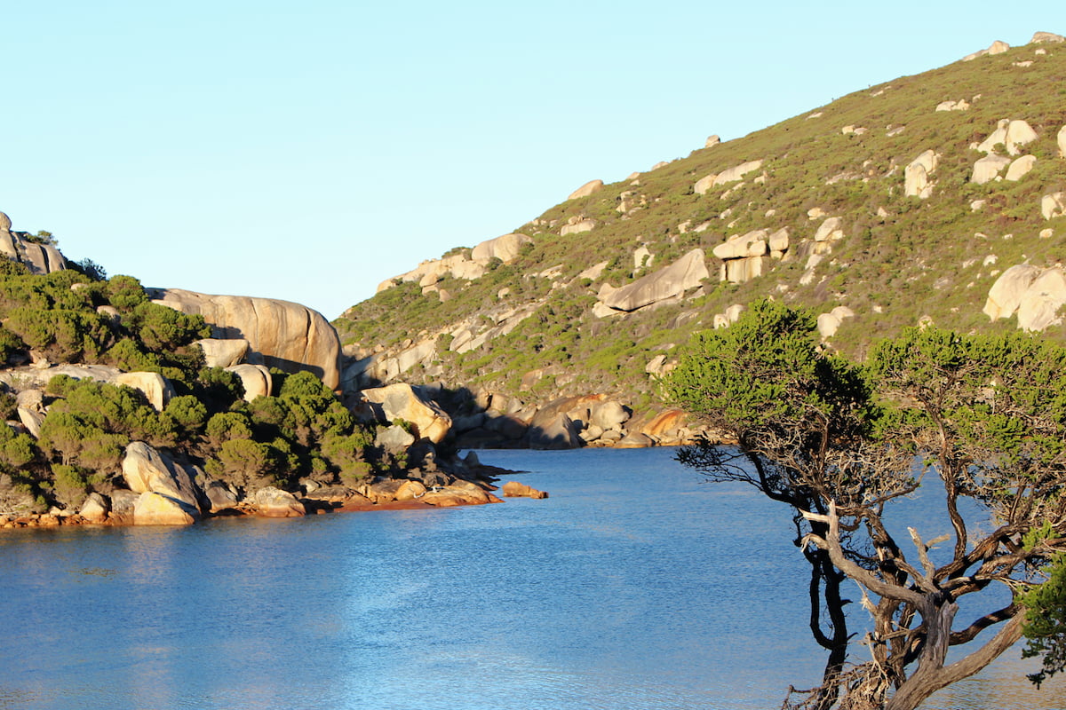
Waychinicup
Image: Nicole Hodgson
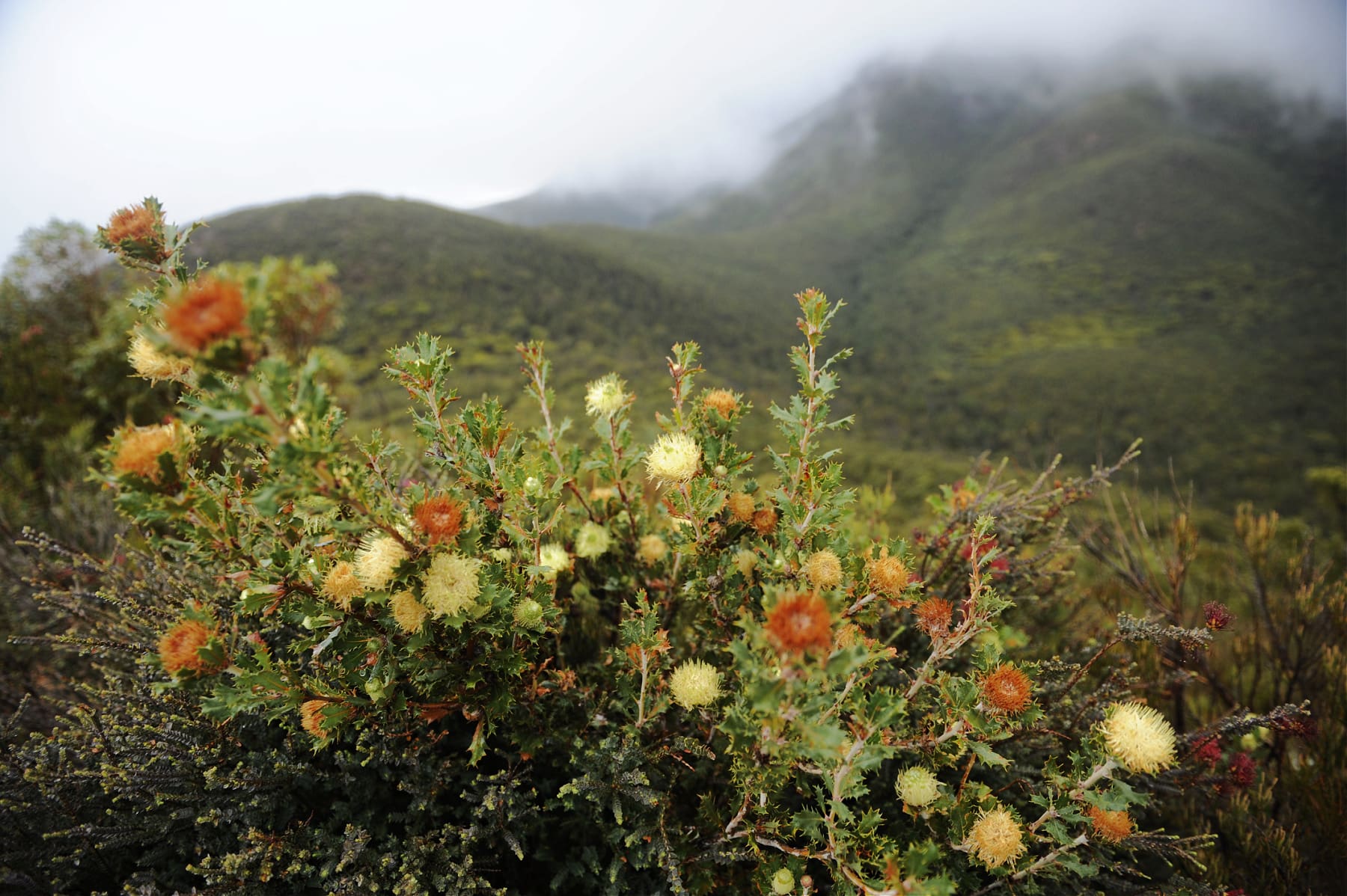
Image: Ami Vitale
The Stirling Range and the Barren Range in the Fitzgerald River National Park have a different underlying geology, having been formed by upfolding of sandstones and quartz originally laid down under a sea bed.
The distinct geology of these peaks and their climatic difference (due to their altitude – albeit, very modest) contribute to their extraordinary concentration of short range endemic plants.
A younger formation along the south coast is the extensive marine sandstones and valley fill deposits which were laid down as sea bed before being exposed by major sea level changes, and which today are seen as the Pallinup siltstones and the marine plain that forms the Fitzgerald sandplains.
Known here as spongolite, these rocks are made up of spicules of sea sponges, and often contain fossilised leaves and other organisms. Where they are currently eroding, they form spectacular breakaways.
