-
Disabled Access
-
Mobile Reception (Telstra)
Featured in journeys:
Take the scenic way to Albany
The Stars Descend | Northcliffe to Porongurup
Between the Ranges
Overview
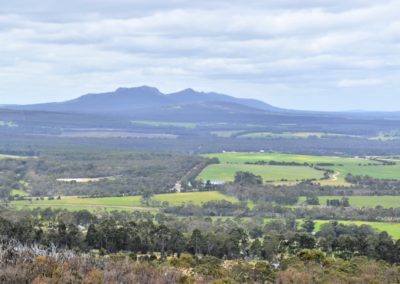
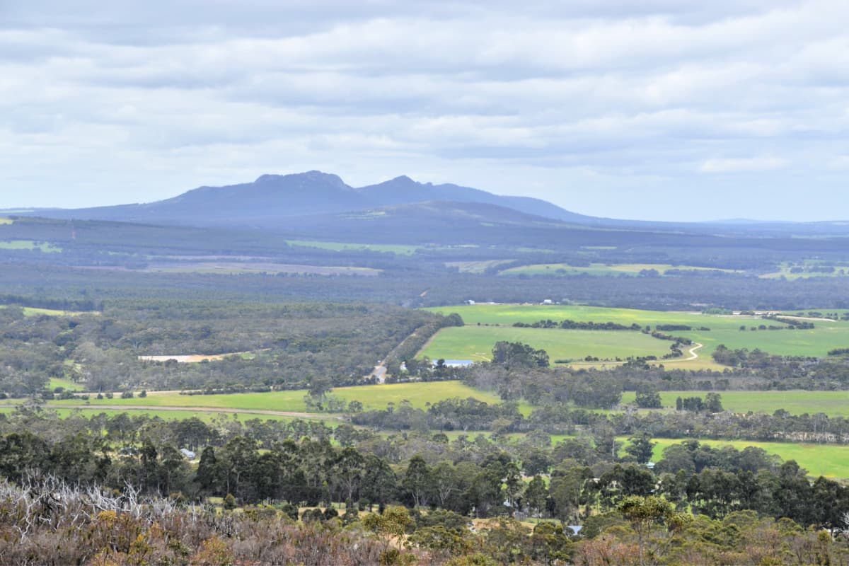
At 404m above sea level, this lookout provides a commanding view over the entire region, including the Stirling Range (Koi Kyenunu-ruff) and Porongurup Range (Borongur) and the patchwork of farmland and bush surrounding them. On a clear day, you can see all the way to the south coast.
Pwakkenbak / Mt Barker Lookout is the perfect place to orientate yourself at the beginning of an exploration of the community-based Ranges Link conservation project, located between the Stirling and Porongurup ranges.
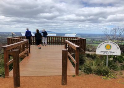
From the Rotary Club lookout on the north-eastern side of the hill you will see:
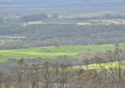
- North – the bushland of Mount Barker’s Mondurup Reserve and the Mount Barker wind farm
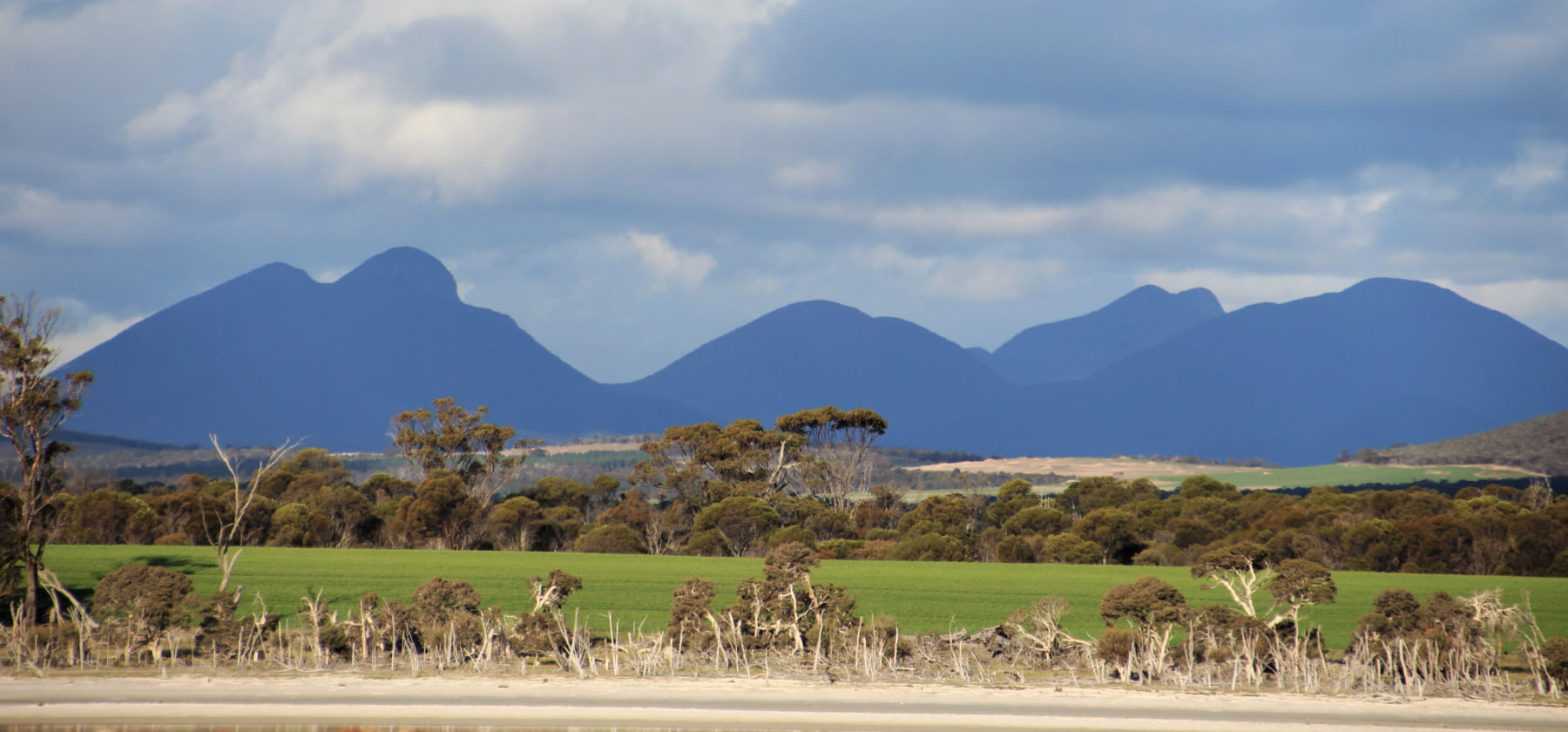
- North east – the impressive mountains of the Stirling Range National Park disappearing into the horizon
- East – the western ridge of Borongur / Porongurup National Park, and the surrounding patchwork of farmland and bush
- South – expansive lowlands and Mt Manypeaks, and on a clear day, glimpses of the Southern Ocean and Bald Head in Torndirrup National Park.
From the end of the nearby Pwakkenbak Boardwalk there are spectacular views south-west to the coast and Mt Lindesay National Park. The latter is part of the Walpole Wilderness Area, which stretches off into the distance.
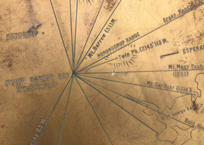
Both the Rotary Club lookout and the Pwakkenbak Boardwalk provide interpretive information about the area.
Pwakkenbak itself is a Class A Reserve vested in the Shire of Plantagenet for conservation and recreation. The hill is also known as Tower Hill, named after the Mt Barker Broadcast Tower.
Access is via a good bitumen road 5.6km to the south-west of the centre of Mt Barker town.
Story of the place
Listen
The Ranges Link conservation initiative is focused between the Stirling Range National Park and the Porongurup National Park, in the valley of the Kalgan River. Local community members working on the Ranges Link project share their inspiring story:
Ancient mountain ranges
In the incredibly flat landscape of south-western Australia, it is unusual to be able to see so many hills (even mountains!). That’s because you are standing in the middle of a major collision zone between continental plates which pushed up these mountains over a billion years ago.
The two main ranges you can see are the Stirling Range (Koi Kyenunu-ruff) to the north east (to your left), and the Porongurup Range (Borongur) to the east (straight ahead). You might notice that these two mountain ranges have different shapes – the Stirlings generally have a sharper and more jaggedy skyline with pointy peaks and exposed cliff faces, whereas the Porongurup Range is more gently curved and tends to have more rounded tops to its peaks.
This is because these two mountain ranges were formed in very different ways, and have very different geological histories. Dive deeper into the story of how the Stirling Range and Porongurup Range were formed.
Settler history
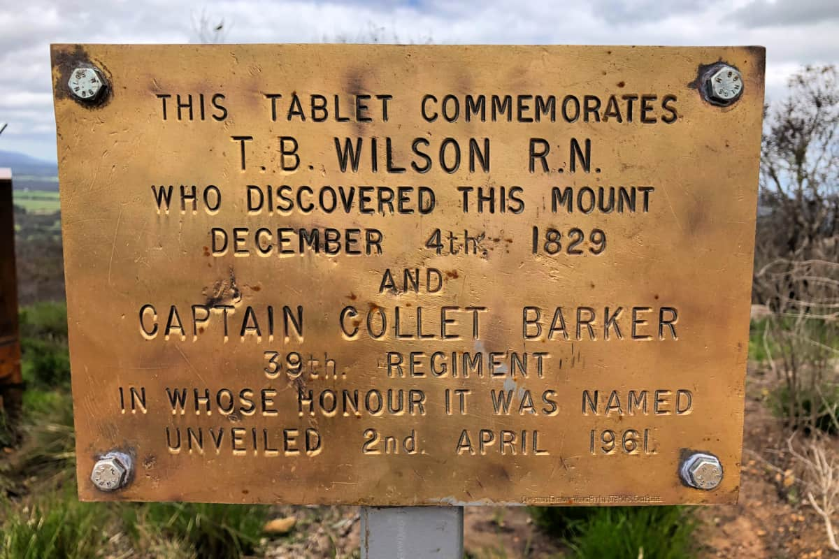
A plaque at the top of Pwakkenbak commemorates when one of the first European explorers in this area, Dr R.N. Wilson climbed the hill to view much of the surrounding countryside and determine the general route of the next stage of their exploration.
Settlement patterns were determined by the available soil. The patches of rich soil, for example in the area near St Werburgh’s church, and often next to creeks and rivers, were settled first, with the sandier areas settled much later.
The first significant European settlement in this region was a grazing lease established by the Hassell family around what is now Kendenup, but the fertile karri loam soils and higher rainfall of the Porongurup area soon attracted more intense settlement, and the area became an important stopping point on the way out of Albany. At the beginning of the 20th century the area opened up for fruit growing.
The area around Mt Barker is now renowned as an agricultural centre, progressing from apples, sheep and cattle into tourism and viticulture.
Removal of original vegetation
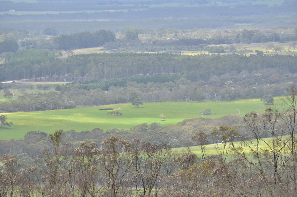
Local environmental organisations are actively caring for bush and restoring land in the local Shire of Plantagenet, including Oyster Harbour Catchment Group, the Friends of the Porongurup Range, the Wilson Inlet Catchment Committee, and Friends of Mondurup Reserve.
Reconnecting landscape
Protecting and reconnecting areas of uncleared bush is crucial in the broader landscape, and the Ranges Link initiative and the Friends of the Porongurup Range are actively working in the landscape you can see from here. Their work is also an invaluable part of the 1000 km Gondwana Link ecological restoration program.
See & Do
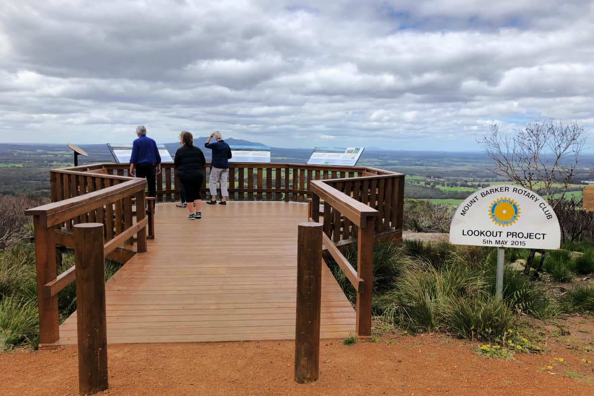
Lookout
There are a variety of soil types on Pwakkenbak, ranging from granite outcrops to sandy soils and laterite outcrops with coffee rock. Such a diversity of soil type means a variety of vegetation.
There are good examples of specialist granite outcrop plant communities, as well as low heathland, different forms of Jarrah, and some small patches of mallee/yate woodland, parrot bush, a rare banksia, and grass trees. These different habitats provide a home for a variety of bids, and an array of wildflowers in Spring.
Take your binoculars and camera to capture the best views of the landscape.
There are benches to sit on and soak in the expansive view – take a picnic and make the most of it on a clear day.
Interpretive Signage
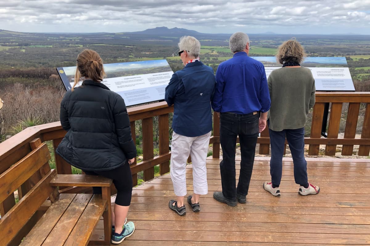
Read the signs to get a good introduction to the area – the geology and vegetation, Noongar and European History, and modern day industries. They also point out the major landmarks in each direction.
Nearby Nature
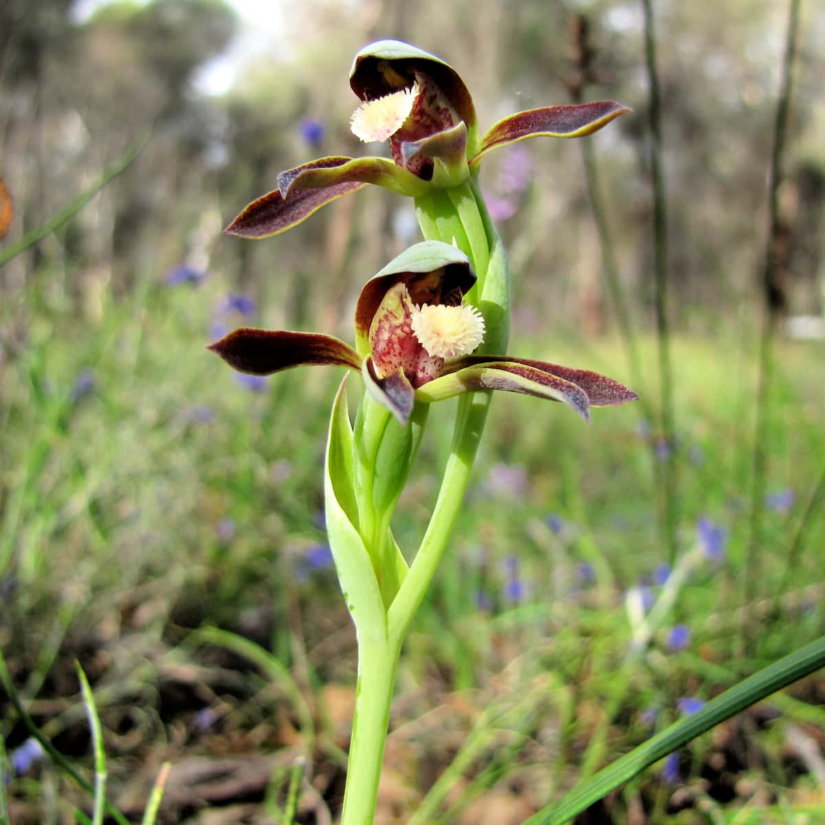
Rattle beak orchid
Image: Sue O’Halloran
Look for wildflowers and orchids
The springtime wildflower display from late August to November is justifiably famous. There are over 1500 species of plants in the Stirling Ranges alone, with over 80 species endemic to the area, including the famous Mountain Bells (Darwinias).
There are many orchid hotspots in this area. Wandoo (White gum) country is renowned for spider orchids. Many other orchids are to be found in Jarrah/Marri species-rich bush remnants around Mount Barker, Narrikup and Porongurup.
Explore Local History

Mount Barker Heritage Trail
This is a 30km drive tracing the development of the prosperous Mount Barker farming district. It features sites of historical interest within the Mount Barker town-site and immediate surrounds, including the area’s first bridge, and St Werburgh’s Chapel – one of the few churches in WA built on private property by a landowner.
Orientate yourself
Pwakkenbakk is the starting point of our self-guided tour between the Stirling and Porongurup Ranges.
Giving back and getting involved
Two community-based organisations play an important role in ecological restoration in this area. Contact them directly to get involved in citizen science investigations or ecological restoration events, and to donate funds to assist their invaluable conservation work.
Nearby
There are many other sites to visit nearby including:
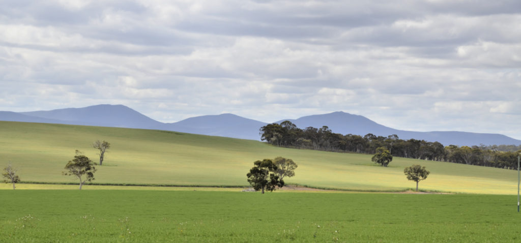
Woogenellup Road
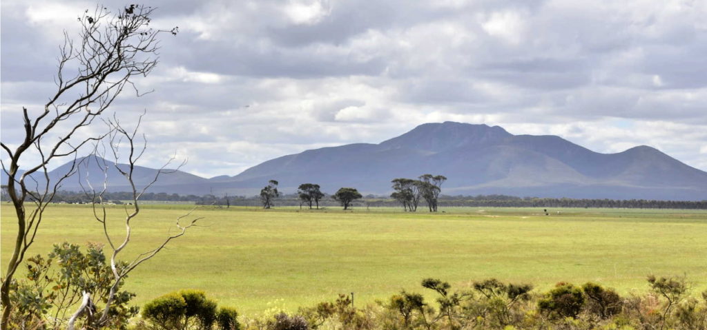
This drive from Pwakkenbak and Mt Barker takes you out into some very scenic farm land, with the Stirling Ranges as your ever-present backdrop.
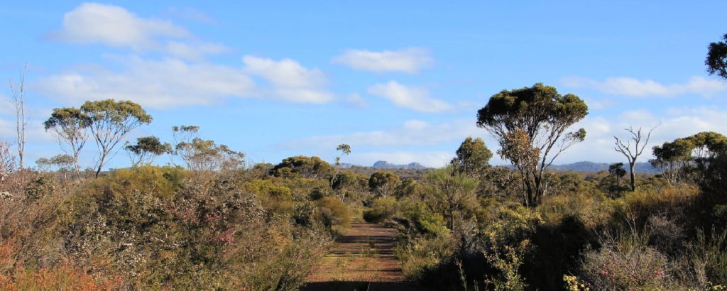
Twin Creeks Conservation Reserve
Nestled between the Porongurups and Stirling Ranges, Twin Creeks is a community owned conservation reserve - purchased and managed by the Friends of the Porongurup Range.
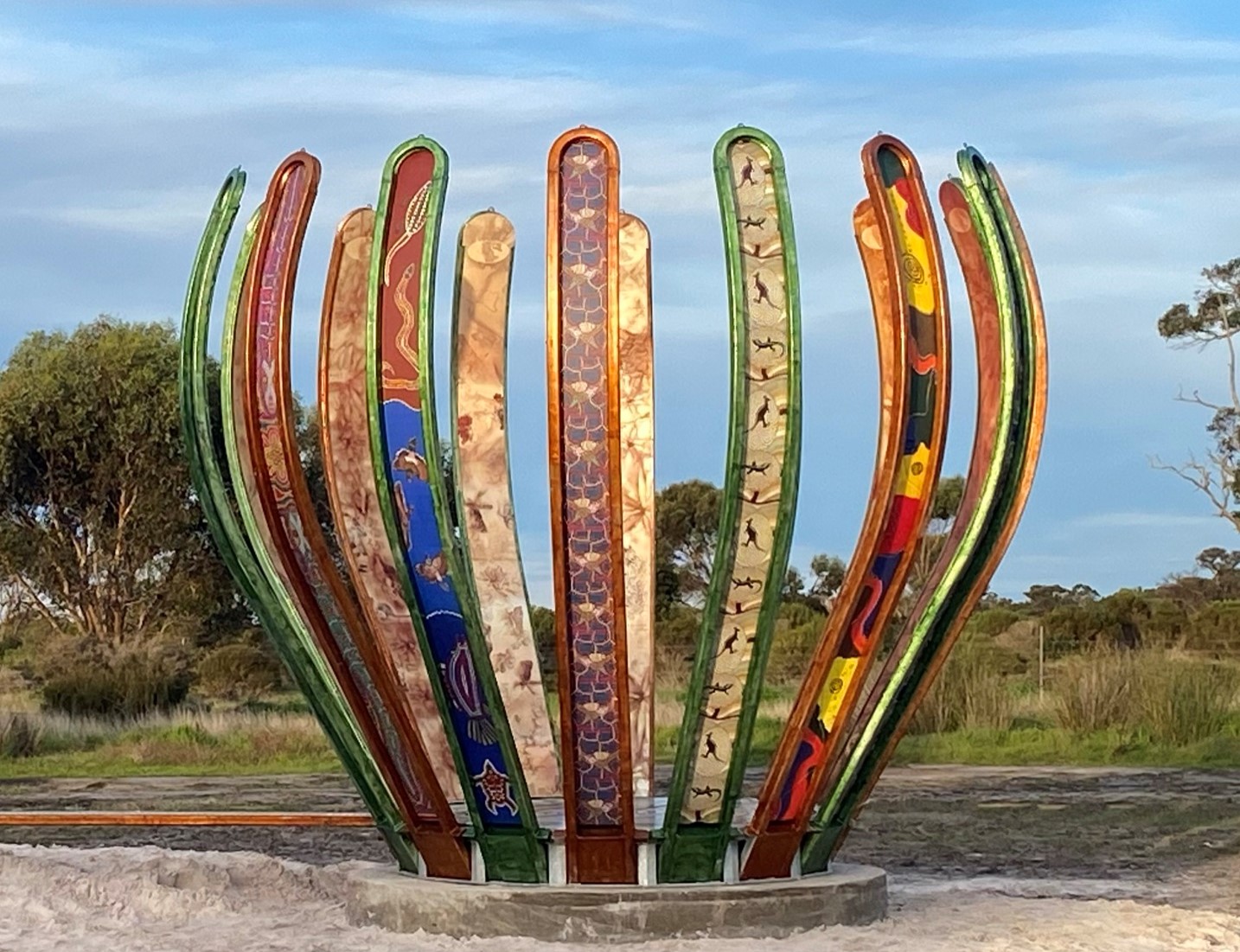
Gondwana Link Sculpture
The Gondwana Link Sculpture is on Knights Rd, on the Twin Creek Conservation Reserve. It is part of a broader Genestreams Songlines Sculptures Project.
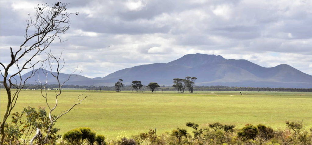
Woogenellup Rd - North
This scenic drive option takes you off the bitumen onto a good quality gravel road that takes you up close to the southern side of the Stirling Ranges.

The Stars Descend | Borongur | Friday 23 March 2023
Chapter 3 (Borongur) of The Stars Descend at Twin Creeks Conservation Reserve, Porongurup Range
Practical Information
Directions
Pwakkenbak / Mount Barker Hill is 5.6 km (8 minutes) south-west from Mount Barker Visitor Centre on a bitumen road (Mt Barker Rd).
The street address is 80 Tower Rd, Mount Barker.
Facilities

There is a large look-out and some extensive interpretation signage. There are two bench seats at the lookout for you to stay a while and enjoy the views.
The site is wheelchair accessible, but the carpark surface is gravel.
This site is suitable for larger vehicles as there is a turning circle, but the car park is not huge. There are no other facilities on site.
When to go
Pwakkenbak is worth a visit at anytime of the year, but views are best on a clear still day.
The main wildflower season runs from late August to November.
In late winter patches of bright yellow appear in the farming landscape as the canola crops are in full bloom.
Closest towns
Mount Barker is just 5.6km away, with a range of accommodation, food and facilities.
It is 26km to the Porongurup Store.

