-
Toilets Available
-
Picnic Areas
-
Hiking
-
BBQ Available
-
Mobile Reception (Telstra)
-
No Pets Allowed
Featured in journeys:
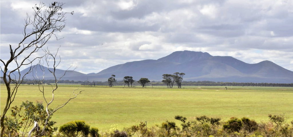
Between the Ranges
Overview
Just 3 km from the intersection of Porongurup Rd and Chester Pass Rd, is Castle Rock Rd.
This is close to the eastern edge of the Porongurup National Park, which despite looking large and wild from the road, is a small yet high conversation value national park of 2,600 ha.
The Porongurup Range is special for so many reasons including its spiritual significance to the Noongar community and ancient history.
But the Porongurup Range is also special for the lush karri forest that is an outlier of the main karri population and is believed to have been separated from it for about 5,000 years, and for the rich flora.
The tight knit and committed community surrounding the range are also special and have been supporting the conservation of this area for decades.
Story of the place
Noongar Boodja
This is very special country for the Noongar people. Vernice Gillies, Menang Elder:
“Porongurup is our most culturally sacred site in this particular region and it is of significance to the whole Noongar nation.”
Borongur was where Noongar people of the region went to find your totem. Larry Blight, Menang Noongar man:
“Traditionally, every young person, male and female, would go to Borongur to find their second totem – everyone automatically has a totem passed on from their mother’s side… It would be during the day only and into the high country. As a young person just reaching maturity, they would go and find a spot and just wait and something significant would happen to them. The first animal, tree or feature they saw would be their next totem. That was the only time people could go up there. Sometimes it would take weeks for a totem to make itself known to the young person.”
Read more about the significance of Borongur (Porongurup) to the Noongar people in this article from the Southerly Magazine.
A National Park is declared
Botanist James Drummond visiting Porongurup Range in 1848 described the karri trees as ‘by far the finest I have seen in any country’ and the mosses and lichens were ‘as rank and luxuriant as I have seen them in the most rich valleys in the south of Ireland.’
By the late 1800s the karri and jarrah forests surrounding the range were being milled for timber. In 1925 Seybert J. Hayward of the State Government Tourist Bureau:
“successfully lobbied for the withdrawal of the timber lease in the area between Hayward Peak and Devils Slide. ‘Hayward Park’, an area of some 1,157 hectares was created. It took until 1971 for the Porongurup National Park to be officially gazetted, with the park subsequently enlarged to its present area of 2.511 hectares.” [Olver and Olver, Dawn Till Dusk: In the Stirling and Porongurup Ranges]
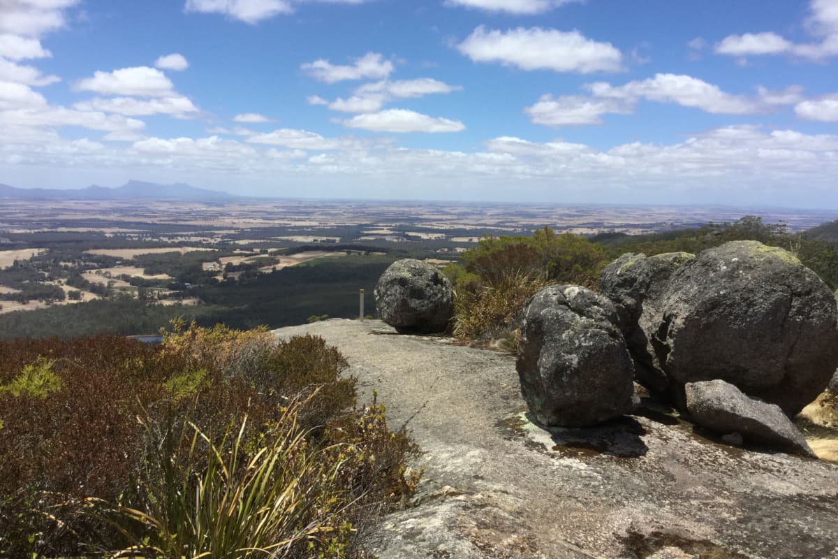
Image: Amanda Keesing
The special attachment to the Porongurup Range of the community surrounding it was evident early on. In 1926 after the National Park had been declared the Albany Advertiser reported:
“Residents of the Porongurups are delighted that the possible danger of the spoliation of the ravine (by the destruction of the karri) is now removed.”
The power of community
The Friends of the Porongurup Range are an impressive group of people – they are very good friends to their beloved Porongurup Range, as well as the owners and managers of the Twin Creeks Conservation Reserve.
The Walitj Meil walk trail at the foot of Castle Rock is just one example of this group’s important on-ground work. They developed the trail with funding from the Federal Government, working in collaboration with the local Noongar community and State Government Parks and Wildlife Service.
The Friends’ custodianship goes well beyond this walk trail. The group has been active for decades and one of their biggest achievements came in response to a devastating fire in 2007.
Keith Bradby
CEO, Gondwana Link
“Somewhere around 2007 a fella up the western end was using his angle grinder on a hot day and triggered a fire which in the space of the afternoon burnt through the entire park. It left a few pockets unburnt but it went end to end and you can see the impacts most vividly on the southern side.
The park has regrown well, but the Friends of the Porongurup Range could see a benefit in the fire burning all the weeds. It had been a very weed infested park, particularly the very early settled private land around it.
So the Friends of the Porongurup Range with many different grants and much ingenuity ran a 10 year program to restore many of the significant areas, including the country to the right as you drive up to Castle Rock.”
See & Do
Castle Rock Granite Skywalk
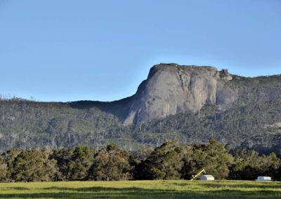
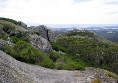
The Granite Skywalk provides spectacular views from the summit of Castle Rock. There is a steep return walk of 4.4km return, classified as Class 5 for experienced bushwalkers.
The Granite Skywalk is not for those that fear heights as the suspended walkway spirals around Castle Rock to the summit. Be careful of the wet rocks that can be very slippery.
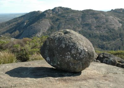
The path takes you through yate, marri and karri forest, and past the famous Balancing Rock. Find out more from:
Parks and Wildlife Service description of the Granite Skywalk
Trails WA description of the walk
Read The Life of Py hiking blog for a detailed description and wonderful photos of the skywalk
Walitj Meil walk trail
‘Walitj Meil’ means Eagle Eye and is based on the Noongar totem of the Wedge-tailed Eagle. This walk trail was developed by the Friends of Porongurup Range with funding and collaboration from government and the Noongar community.
This is an easy, 1km loop which starts at the trailhead in the Porongurup National Park Castle Rock day-use area just past the Granite Skywalk sign. Find out more from Trails WA.
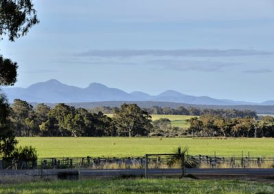
Follow the trail markers southwest along the edge of the forest up a gentle rise to a panoramic view of the Stirling Range (Koi Kyeunu-Ruff).
The path veers southeast through the forest and then northerly finishing the loop near the Mighty Marri tree.
Other trail markers tell Noongar stories including the legend of the fearless bush gossip Chitty Chitty (Willie Wagtail) and how the Blue wren got its colour.
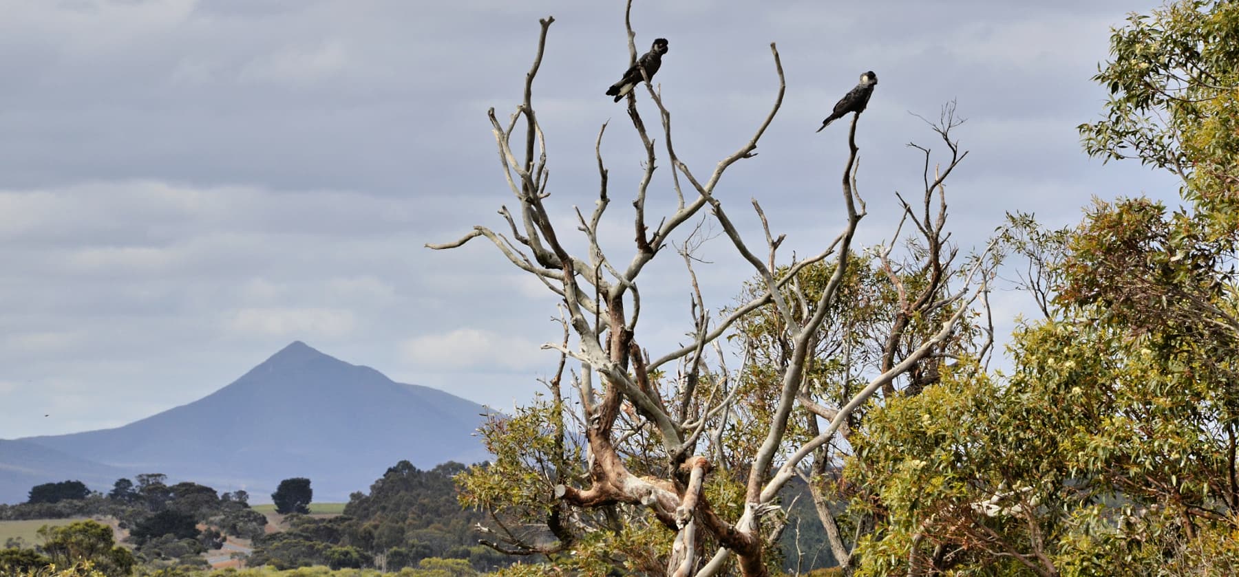
A few of the many bird species found in the Park, including the three black cockatoo species that you might see, are highlighted at the Bush Melodies marker.
Giving back and getting involved
Two community-based organisations play an important role in ecological restoration in this area. Contact them directly to get involved in citizen science investigations or ecological restoration events.
Nearby
There are many other sites to visit nearby including:
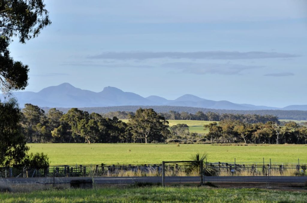
Porongurup Road
Porongurup Rd takes you to the base of the spectacular and ancient Porongurup Range, which is mostly protected in a National Park, also with beautiful views of the Stirling Range.
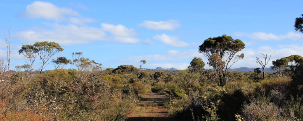
Twin Creeks Conservation Reserve
Nestled between the Porongurups and Stirling Ranges, Twin Creeks is a community owned conservation reserve - purchased and managed by the Friends of the Porongurup Range.
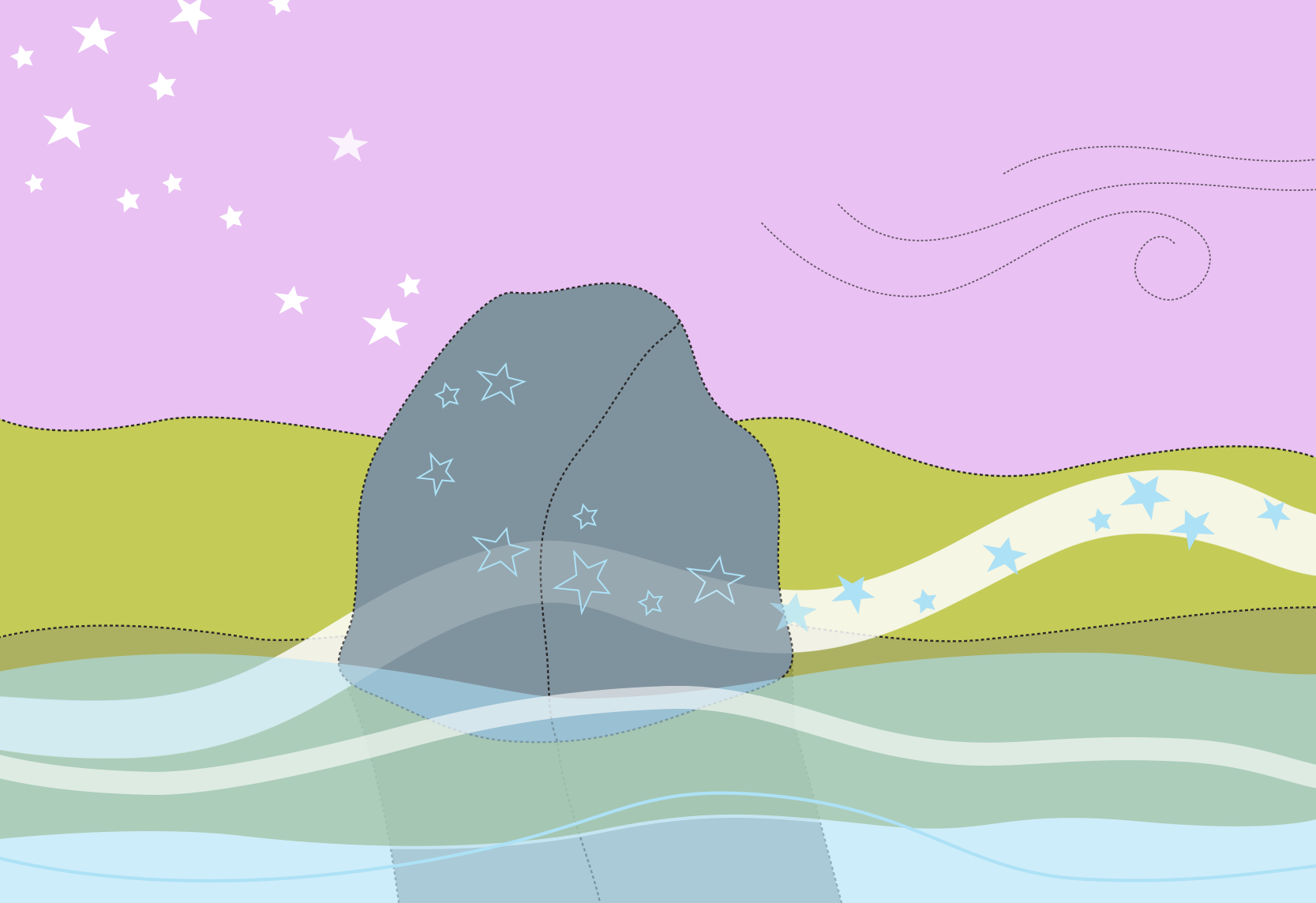
The Stars Descend | Borongur | Friday 23 March 2023
Chapter 3 (Borongur) of The Stars Descend at Twin Creeks Conservation Reserve, Porongurup Range
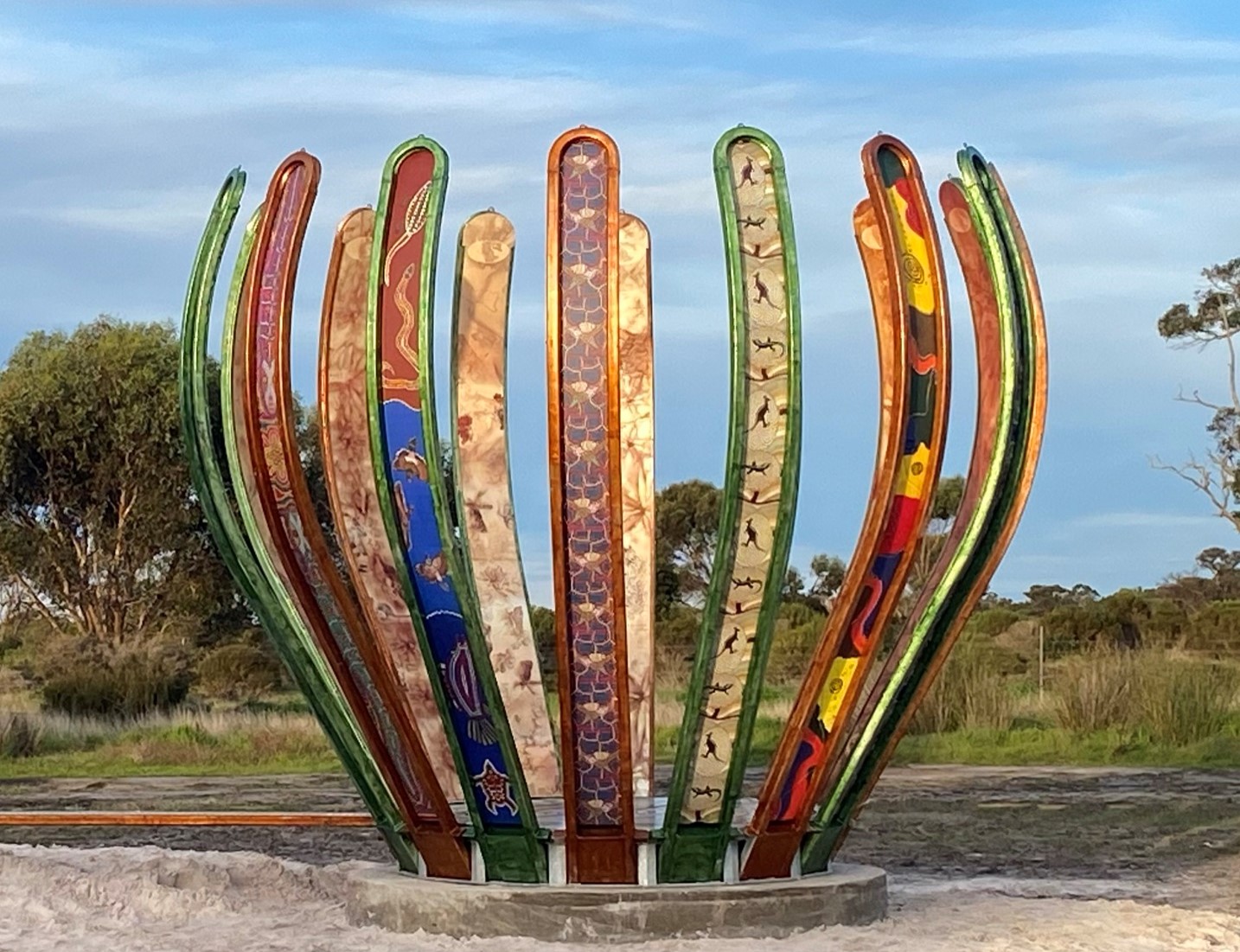
Gondwana Link Sculpture
The Gondwana Link Sculpture is on Knights Rd, on the Twin Creek Conservation Reserve. It is part of a broader Genestreams Songlines Sculptures Project.
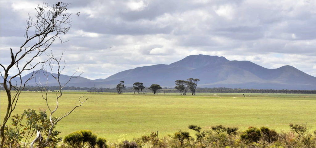
Woogenellup Rd - North
This scenic drive option takes you off the bitumen onto a good quality gravel road that takes you up close to the southern side of the Stirling Ranges.
Chester Pass Rd viewpoint
This is just a small gravel roadside stop with views of Koi-Kyenuruff (Stirling Ranges) and across farmland.
Practical Information
When to go
As with most places in south-western Australia, it is worth visiting during the wildflower season during Djilba and Kambarang (August to November) to see the most plants in flower.
Where to eat and stay
See the suggestions from our friends at Great Southern Treasures:

