Overview
This pull-over area is on the western side of Chester Pass Rd, in between the gravel Woogenellup Rd North intersection (3.4 km to the south) and the bitumen Woogenellup Rd intersection (4.5 km to the north).
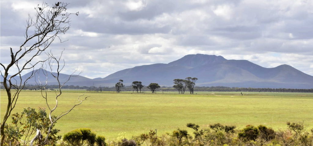
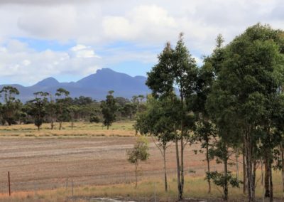
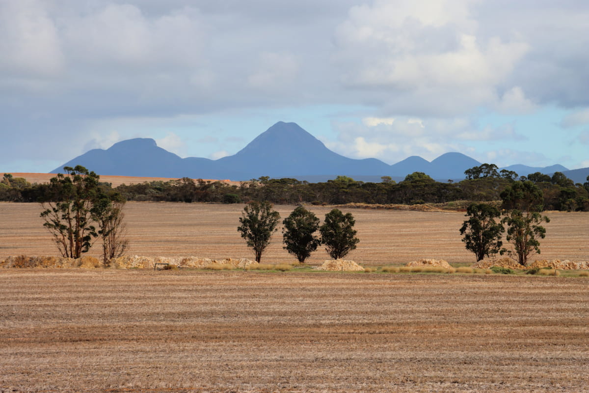
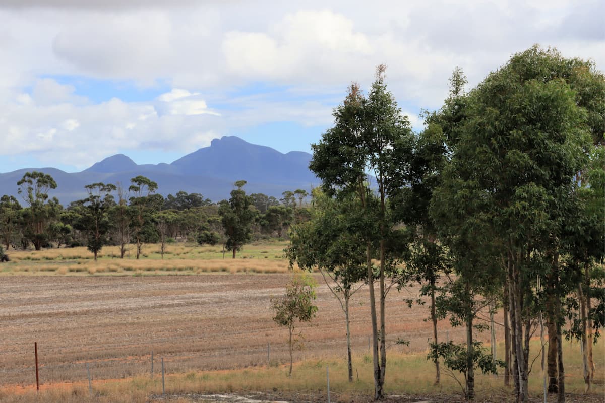
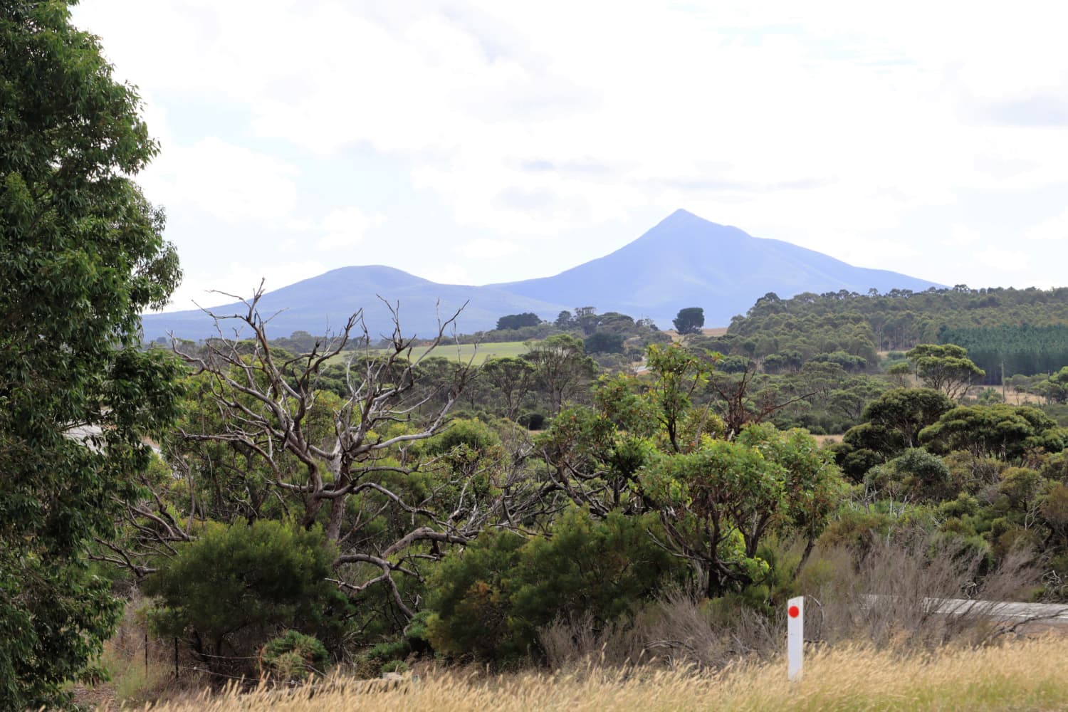
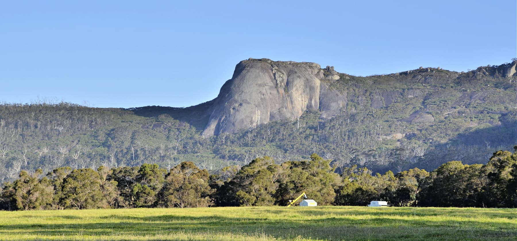
This is a small gravel roadside stop, but there are some remarkable views of Koi-Kyenuruff (Stirling Range) and the Sleeping Lady in particular.
There are also views across farming land, with different eras of landcare and ecological restoration evident from this point.
Story of the place
Three eras of history
There is a lot to be learned from names and three different eras of history are represented in names of roads in this area.
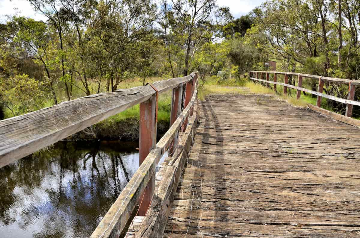
Image: Amanda Keesing
Woogenellup Road is a Noongar derived name, with the suffix -up denoting ‘place of’.
Chester Pass Road was named for George Chester, an early settler and policeman in the district.
Washpool Road represents a slightly later era of settlement, when sheep grazing was widespread and river or creek pools were used to wash the sheep before shearing. If the sand wasn’t washed out of the wool, it might blunt the blades of the shears.
Three eras of landuse and landcare
Clearing
While the areas of heavy loam soils next to the Kalgan River were cleared for farming early, the sandy and sandy gravel soils away from the river were considered useless for agriculture up until the mid-1950s.
New technologies and manufactured inputs eventually enabled agriculture on these soils, which spurred a huge wave of clearing after the Second World War.
During this period, there was almost a culture of trees being the enemy, because so many had to be cleared to create the farmland.
Replanting
It didn’t take long for the negative impacts of the loss of all these trees and other vegetation in the landscape to become evident – in the form of soil erosion and salinity. Farmers began to replant trees for amenity, shade, shelter for stock and farm forestry. But advice at that time came from foresters who advised the planting of wheatbelt species, known for their hardiness and their salt resistance.
While these trees help to reduce the level of the water table and therefore salinity, manage soil erosion, provide shelter for stock, and provide alternative income for farmers in difficult years, the accepted wisdom now is that local species should be planted.
Biodiverse restoration
In the early 2000s, more attention began to be given to the repair of whole landscapes. This involves the direct seeding of diverse mixes of local plant species in order to ecologically restore farmland and reconnect the large habitat areas remaining in the lower Great Southern.
Peter Luscombe
Ecological restoration pioneer and farmer, Woogenellup
“Anyone can do it. If you want to restore an area just look at a similar soil type where there’s natural vegetation available. It can give you an idea of what structure you need – everything from legumes to tall trees, and various species for marsupials and pollinators. If you can encourage wildlife in you know you have been successful.”
See & Do
Abrupt transitions in vegetation
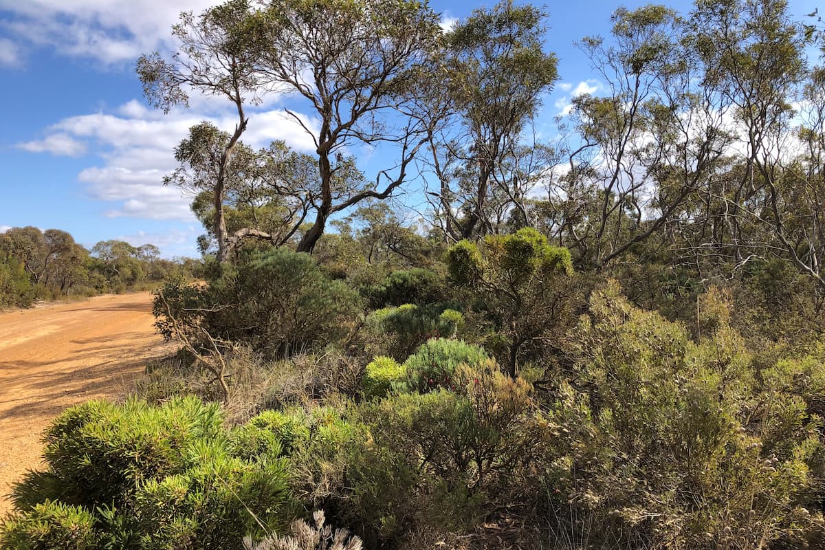
Image: Amanda Keesing
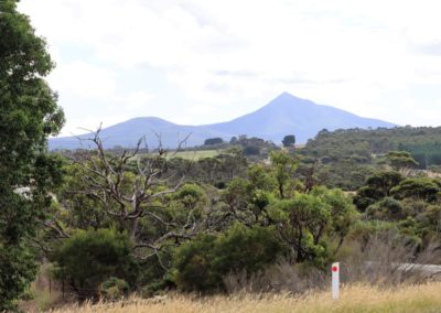
As you drive south down Chester Pass Rd, there is a rapid transition from the drier mallee country into the wetter jarrah and marri forest.
Getting close to the Porongurup Range you will even see glimpses of karri in the valleys to the north. This is an outlier population of karri, remnants from a time when rainfall was much higher.
Remnants of the Eocene Sea
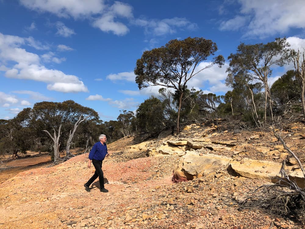
Image: Amanda Keesing
Look out for the small breakaways in the paddocks, especially to the east of the road. Remarkably, these are remnants of the Eocene seabed.
Some 40 to 43 million years ago, during a warm climate era called the Eocene, much of the world’s ice had melted and the oceans were over 100 metres higher than today. The Porongurup and Stirling Ranges were islands in a warm and shallow sea. The Eocene sea was dominated by massive populations of marine sponges. As the sea receded it left behind a soft rock, called spongolite, which contains silica spicules from the external skeletons of those sponges, along with an abundance of other marine fossils.
Harder rock on the top of these breakaways has protected the spongolite from erosion over millennia. The top of these breakaways indicates the level of the old sea bed.
Giving back and getting involved
Two community-based organisations play an vital role in ecological restoration and nature conservation in this area. Contact them directly to make a donation towards their excellent work, become a member, or get involved in citizen science investigations or ecological restoration events.
Nearby
There are many other sites to visit nearby including:

The Stars Descend | Borongur | Friday 23 March 2023
Chapter 3 (Borongur) of The Stars Descend at Twin Creeks Conservation Reserve, Porongurup Range
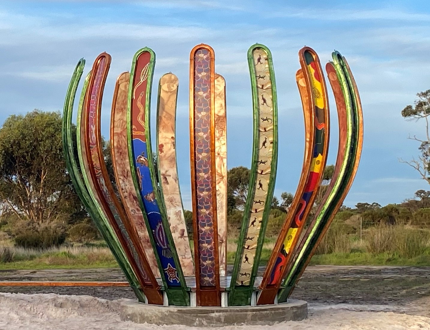
Gondwana Link Sculpture
The Gondwana Link Sculpture is on Knights Rd, on the Twin Creek Conservation Reserve. It is part of a broader Genestreams Songlines Sculptures Project.
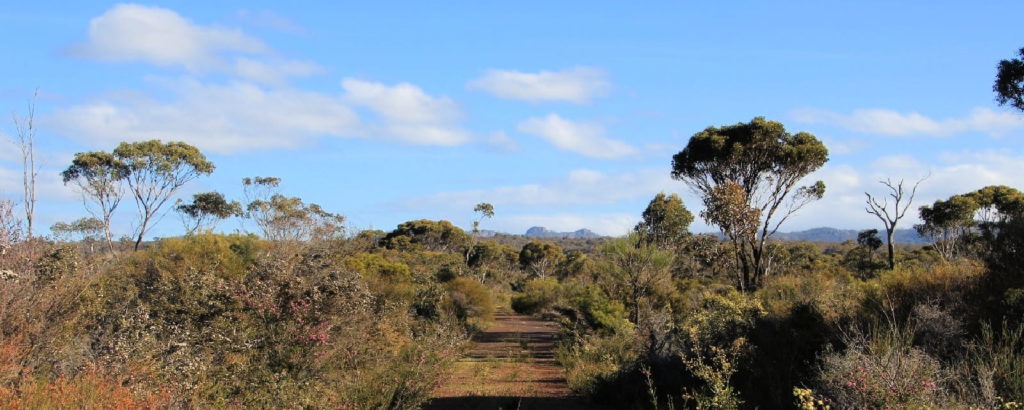
Twin Creeks Conservation Reserve
Nestled between the Porongurups and Stirling Ranges, Twin Creeks is a community owned conservation reserve - purchased and managed by the Friends of the Porongurup Range.
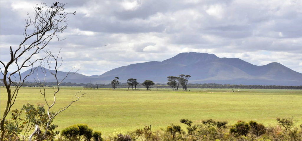
Woogenellup Rd - North
This scenic drive option takes you off the bitumen onto a good quality gravel road that takes you up close to the southern side of the Stirling Ranges.
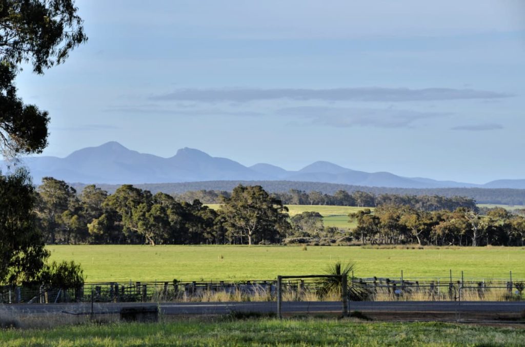
Porongurup Road
Porongurup Rd takes you to the base of the spectacular and ancient Porongurup Range, which is mostly protected in a National Park, also with beautiful views of the Stirling Range.
Castle Rock and Walitj Meil trail
The Castle Rock Granite Skywalk and ground level Walitj Meil walk trail are in the Porongurup National Park.
Practical Information
Directions
This pull-over area is on the western side of Chester Pass Rd, in between the gravel Woogenellup Rd North intersection (3.4 km to the south) and the bitumen Woogenellup Rd intersection (4.5 km to the north).
When to go
As with most places in south-western Australia, it is worth visiting during the wildflower season during Djilba and Kambarang (August to November) to make the most of the incredibly diverse native plant species in the area.
In late winter, paddocks of bright yellow appear in the farming landscape as the canola crops are in full bloom. However, the real treasure lies in the many more colours and shapes provided by native wildflowers in bushland and along various roadsides.
Where to eat and stay
See the suggestions from our friends at Great Southern Treasures:

