Overview
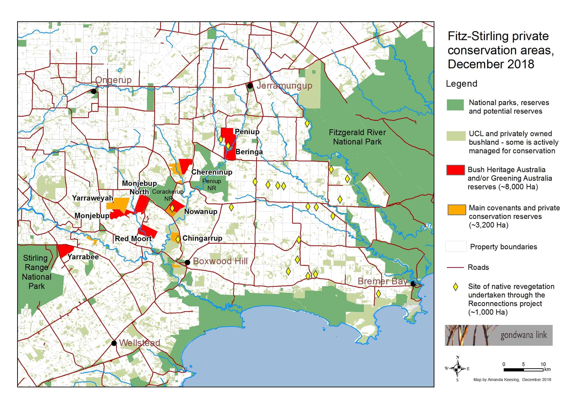
This is the starting point for a self-drive itinerary through the Corackerup area, a key part of the Gondwana Link and the Fitzgerald Biosphere Reserve.
Story of the place
A tiny townsite
Boxwood Hill was gazetted as a townsite in 1963, but now consists of just three houses, a roadhouse, and its famous sports club, which draws in so many people from all over the Great Southern for weekend sport that you need to be extra careful driving on the roads here on weekends, with locals travelling in for sporting fixtures.
See & Do
The Fitz-Stirling loop
This 70km self-drive loop introduces you to one of the significant ecological restoration areas in Australia.
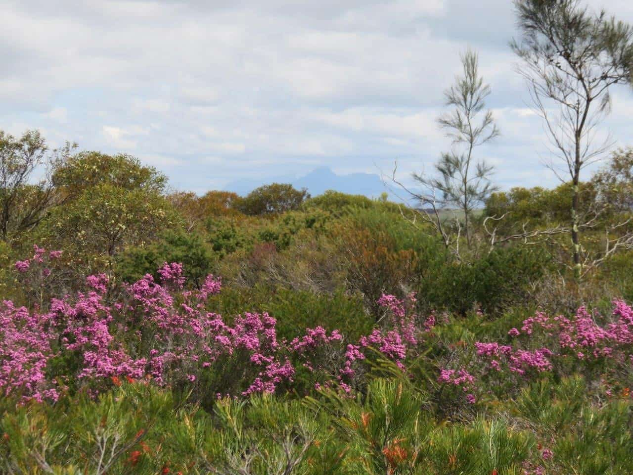
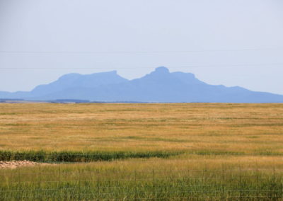
The Stirling Range NP is famous for its rugged peaks – visible from many parts of this drive – and for its incredible biological richness, with more than 1500 plant species recorded. The Fitzgerald River NP is even more diverse, with more than 1800 plant taxa recorded.
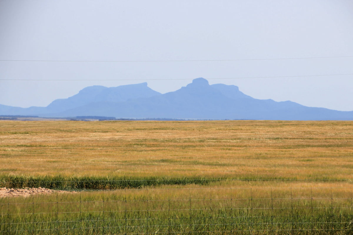
Remarkably, even though these two national parks are only 70km apart, they have only 40% of plant species in common. The stretch of country in between, known as the Fitz-Stirling, is as diverse and rich in plant species as either National Park, and also has many species that are only known from the Fitz-Stirling.
Wildlife is just as abundant, with many of the species that have now disappeared from many of the longer established farming areas. Along with the Stirlings and the Fitzgerald, the area still supports populations of key species like Honey Possums, Carnaby’s Cockatoo, Black gloved and Tammar wallabies, Quokka, Western Whipbirds and much more.
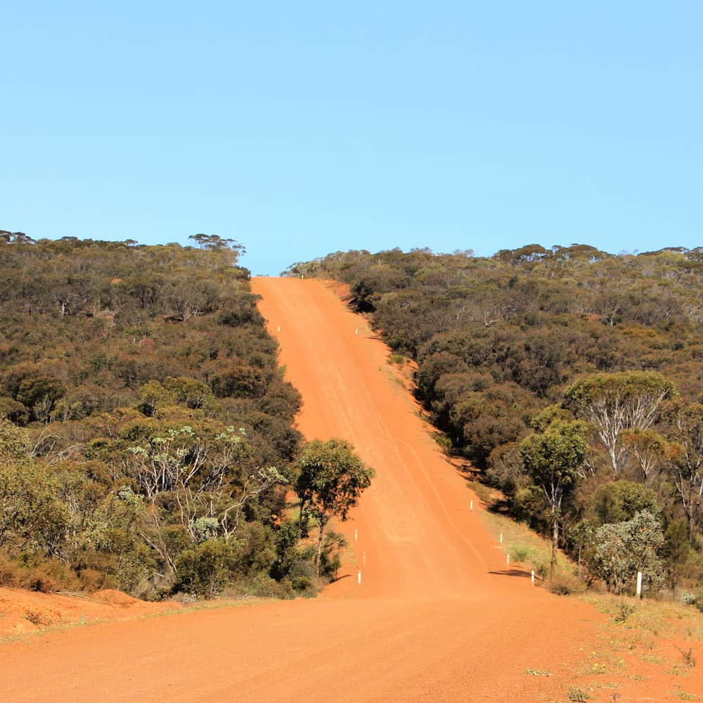
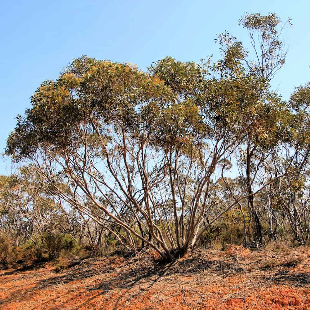
But this wonder and richness might not be immediately obvious. This is country that requires you to pay attention. It is not a dramatic landscape, the wildlife can be quite cryptic and make rare appaearnces, but there are many treasures to be found hiding in plain sight.
The mix of geological systems is part of why the area has such a weird and wonderful mix of plants, many found only in this area. The often rugged landscape is one of the reasons it is one of the few agricultural areas in Western Australia where substantial tracts of bush were left uncleared. What remains is a landscape of dense heathlands, rich mallee and thickets, riverine woodlands, a swarm of locally endemic eucalypts and scattered wetlands.
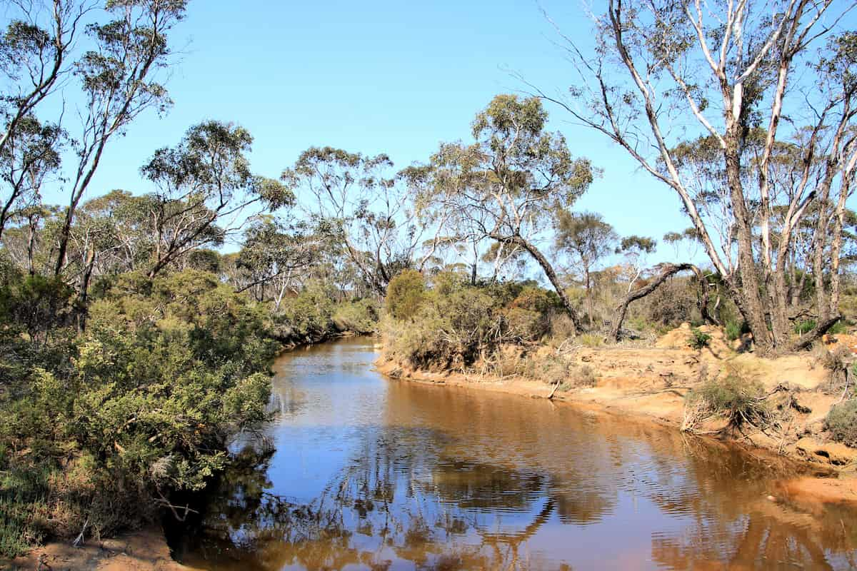
As you drive through, observe the change in the topology from the flatter landscapes inland, the way the creeks are deeply incised into the landscape. The Pallinup River is the largest river system through here, followed closely by the Bremer River, and their many tributaries criss-cross the landscape. Both start inland on the old granite country, and have cut their way through the Eocene seabed to today’s ocean.
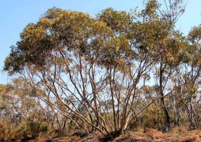
Along the rivers and creeks, and on some of the more fertile soils in the river headwaters, are the tallest trees, the flat-topped yates. As you come up out of those valleys observe how the landscape changes back into mallee and sand-plain, which supports amazing proteceaous heath, the banksias, hakeas, the shining leaves of blue mallee and much more.
The Fitz-Stirling area is also a key part of the Gondwana Link program. This route will take you past numerous conservation properties owned by passionate individuals, and organisations like Greening Australia and Bush Heritage Australia, who have arrived in recent years to help rejoin the Stirling Range and Fitzgerald River National Parks.
Giving back and getting involved
Gondwana Link plays a key coordination role in the ecological restoration work in the Fitz-Stirling area.
Nearby
There are many other sites to visit nearby including:
Boxwood Hill - Ongerup Road
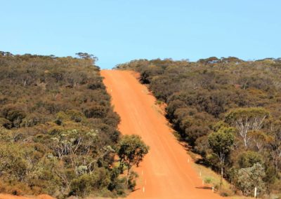
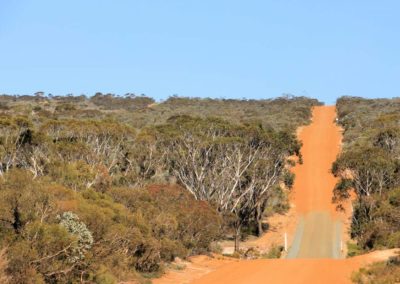
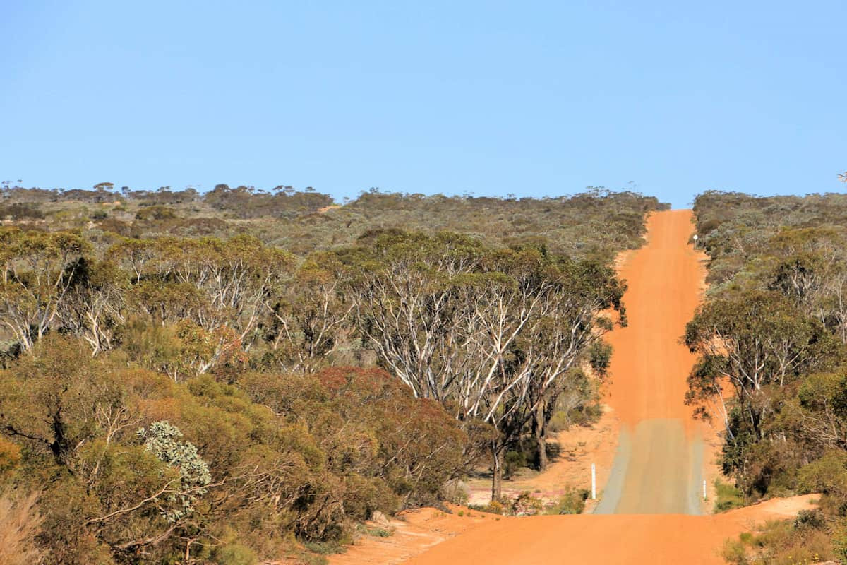
This first stretch of road will take you into the heart of one of Australia’s most important ecological restoration areas.
Chingarrup Creek Crossing
All the brooks and creeks in this area are tributaries of the Pallinup River, the largest river system on the South Coast.
Chingarrup Sanctuary
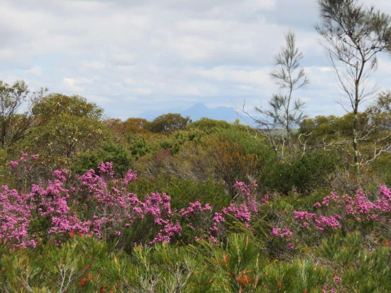
Just to the north of Chingarrup Creek is Chingarrup Sanctuary the very first property purchased for ecological restoration as part of the Gondwana Link program, back in 2002.
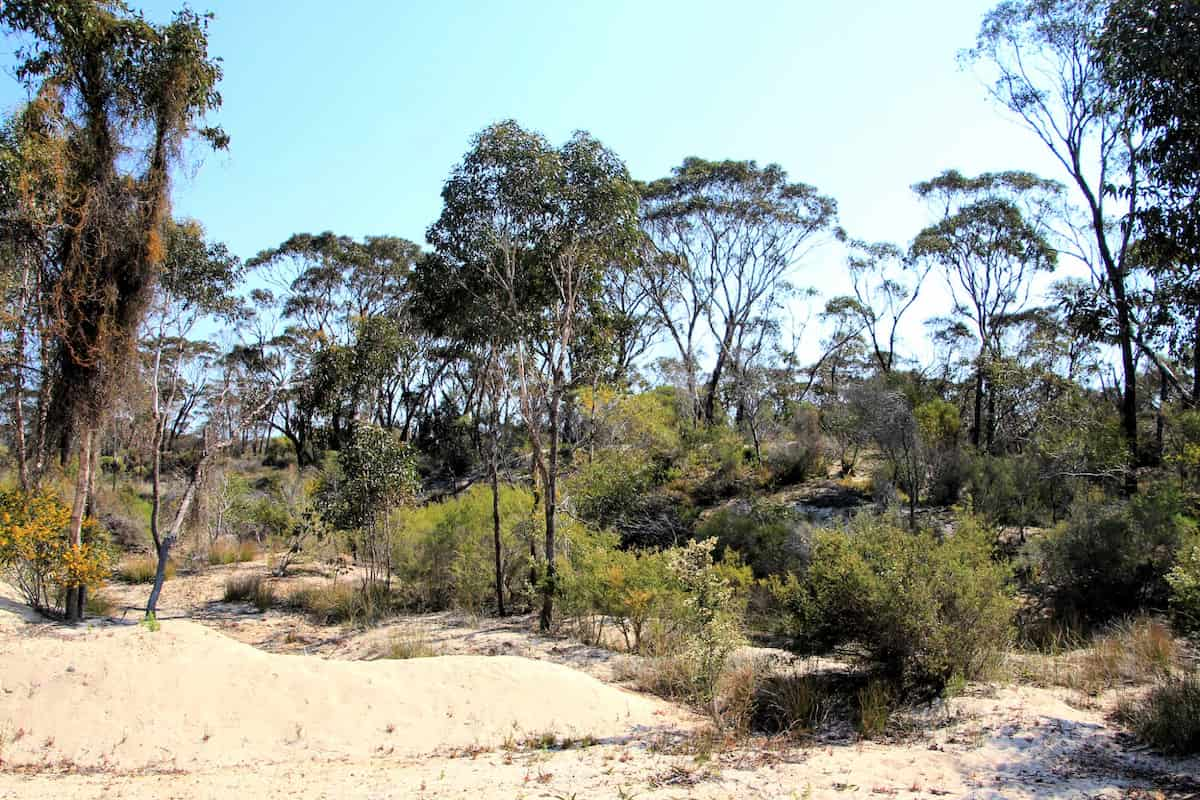
Corackerup Creek Crossing
Like nearby Chingarrup Creek, Corackerup Creek is also deeply incised into the surrounding landscape, and is part of a substantial sub-catchment of the Pallinup River.
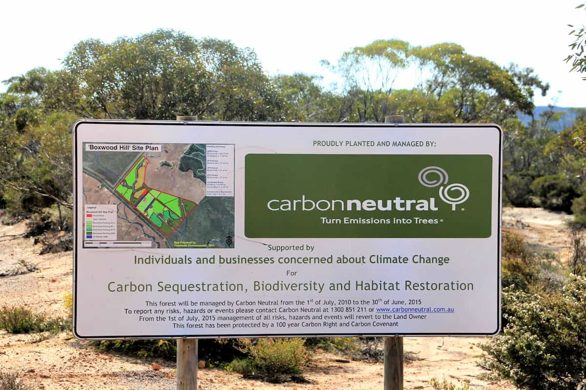
Carbon Neutral restoration site
This property was purchased and replanted for ‘Carbon sequestration, biodiversity and habitat restoration.’
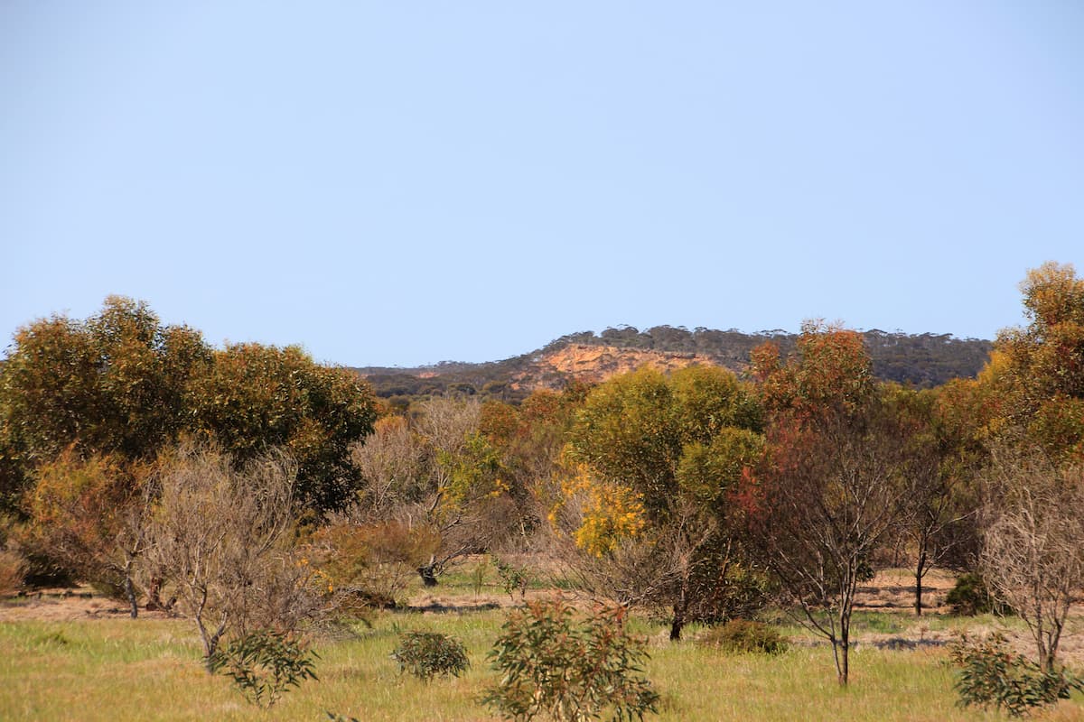
Norman's Road
The pullover area adjoins the now privately-owned conservation property that was initially restored by Carbon Neutral. The Corackerup Nature Reserve is over the road.
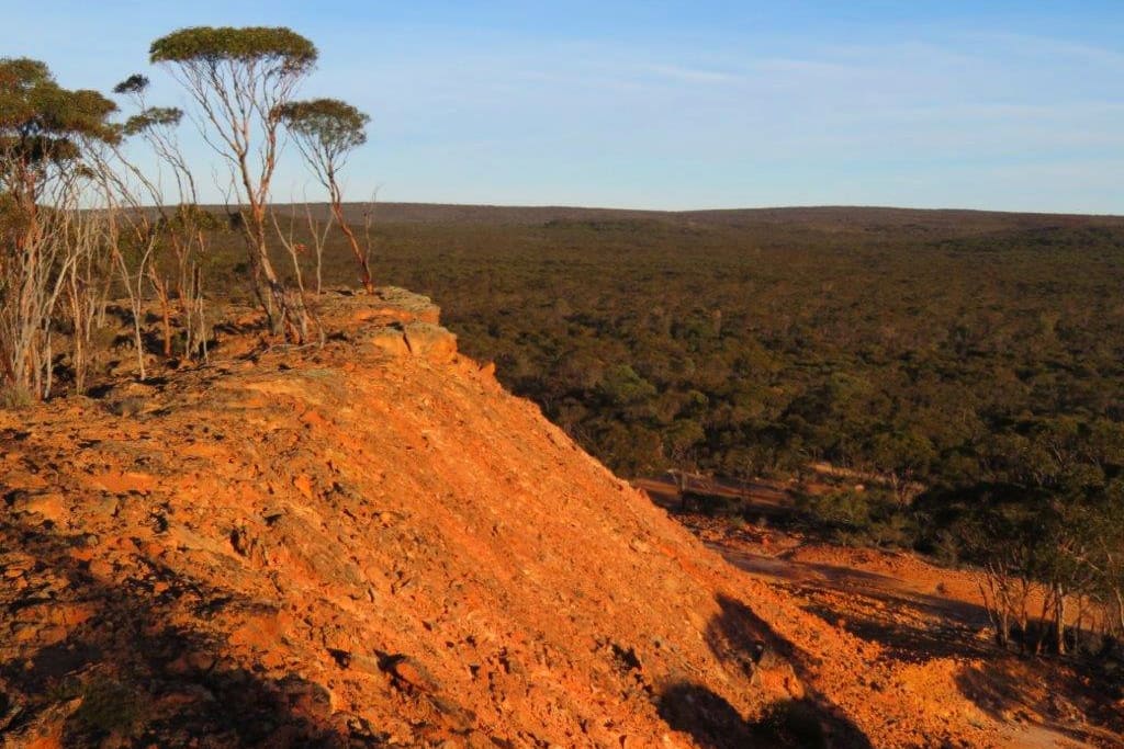
Nowanup
Nowanup is a special place. A centrepiece of ecological restoration in the Gondwana Link, it is also a centre for the Noongar community for healing country and healing people.
Practical Information
Facilities
This is a remote area and there are limited facilities available. There is a roadhouse at the Boxwood Hill intersection.
See Visitor Information from the Shire of Jerramungup for accommodation, eating and camping options in Jerramungup and Bremer Bay.

