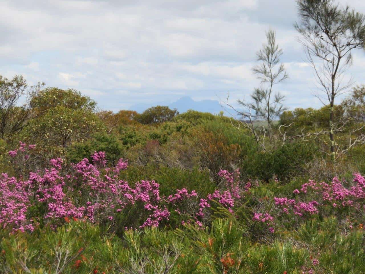
Overview
Just 6km along the Boxwood Hill-Ongerup Rd you will cross Chingarrup Creek. This is a tributary of the much larger Corackerup creek system, the next major creek crossing to the north.
All the brooks and creeks in this area are tributaries of the Pallinup River, the largest river system on the South Coast. Known for a long time as the Salt River, the Pallinup has probably been saline for a long time, yet there is evidence that salinity levels have been rising in many creek and river systems through here since the original clearing for agriculture.
Story of the place
Remnants of vast waterways
The road dips down into a broad valley that is disproportionately sized when compared to the small creek at the bottom. In fact, when you drive across the creek, it is likely to appear as a collection of small pools. The way creeks are so deeply incised into the landscape is a reminder of how vast the waterways once were, and how much this ancient landscape has been shaped by water, very old water.
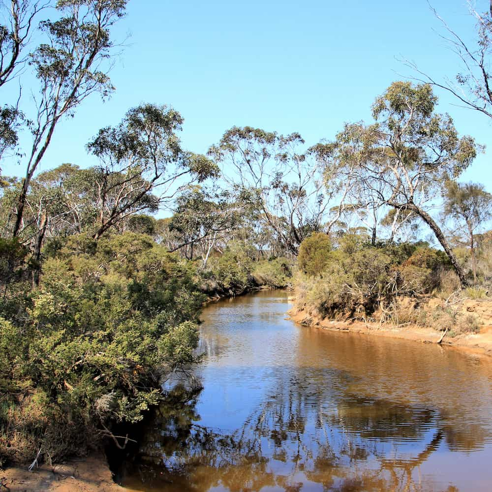
Image: Nicole Hodgson
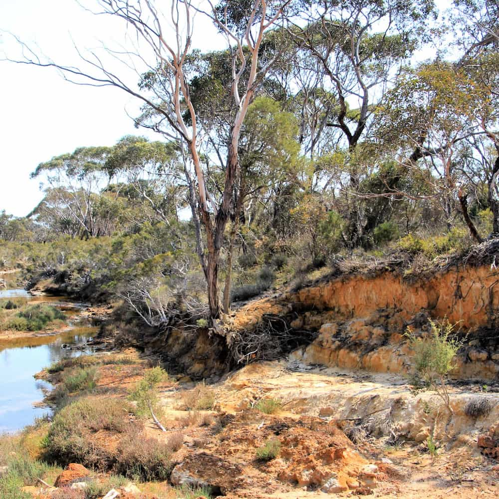
Image: Nicole Hodgson
Unlike geologically young places, like Europe and North America, where glaciers and volcanic activity has created fresh young soils, here in south-western Australia, the land has been relatively undisturbed for millions of years, with only slow and steady erosion from wind and water shaping the topography and leaching nutrients out of the soils over millennia.
Aquatic ecosystems
With an annual rainfall of about 400mm – and declining – water is precious in the Fitz-Stirling. These small creeks are important natural corridors for the movement of animals and contain distinctive communities of plants and animals not found elsewhere in the landscape.
With such low rainfall, the water flow through the creeks is generally low or nothing at all, and so the numerous permanent river pools are critical refuges for fish, invertebrates and aquatic plants. A nearby pool on the Chingarrup creek was monitored in 2016 and 15 macroinvertebrate species were discovered.
See & Do
Roadside stop
If traffic is light, it may be possible to pull off on the side of the road close to the creek crossing, to explore the creek on foot.
Giving back and getting involved
Gondwana Link plays a key coordination role in the ecological restoration work in the Fitz-Stirling area.
Nearby
There are many other sites to visit nearby including:
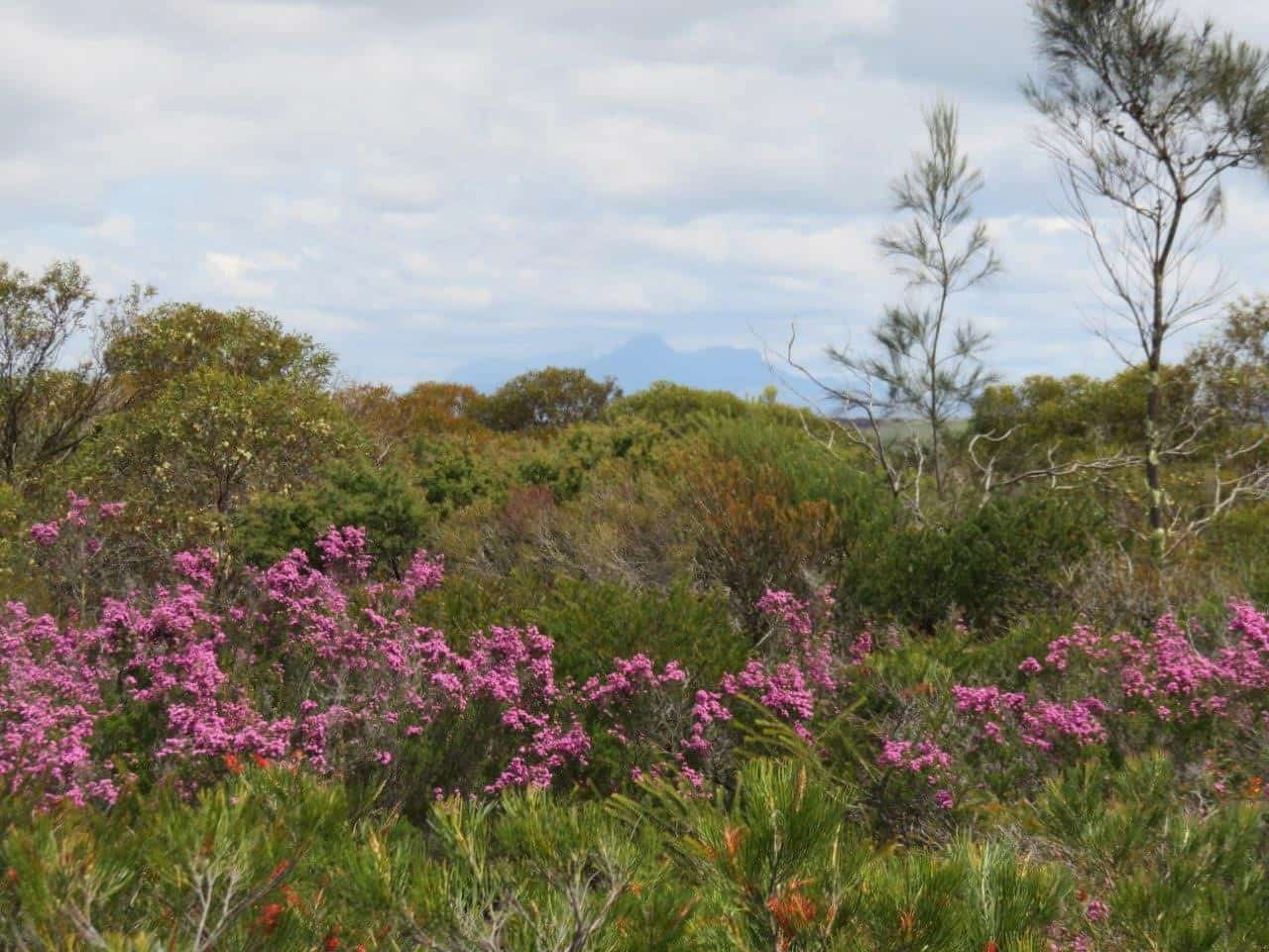
Chingarrup Sanctuary
Just to the north of Chingarrup Creek is Chingarrup Sanctuary the very first property purchased for ecological restoration as part of the Gondwana Link program, back in 2002.
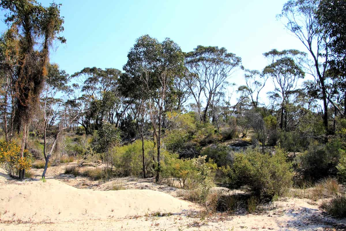
Corackerup Creek Crossing
Like nearby Chingarrup Creek, Corackerup Creek is also deeply incised into the surrounding landscape, and is part of a substantial sub-catchment of the Pallinup River.
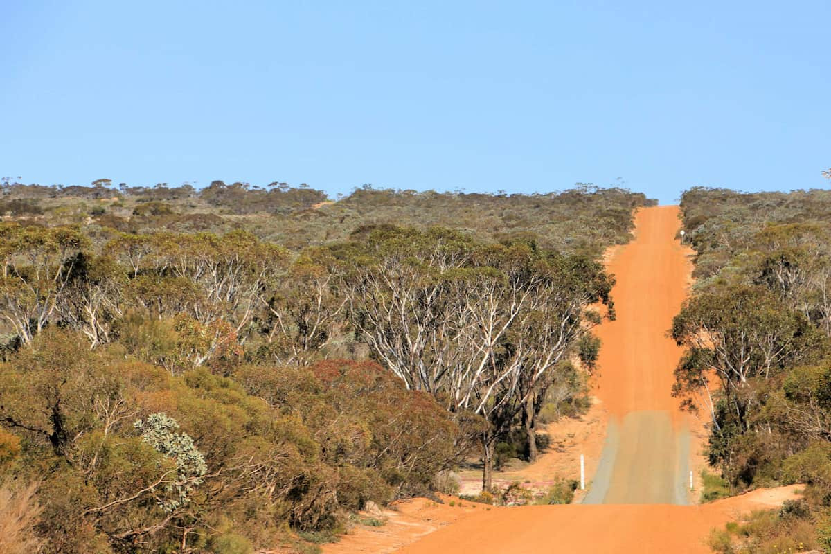
Boxwood Hill - Ongerup Road
This first stretch of road will take you into the heart of one of Australia’s most important ecological restoration areas.
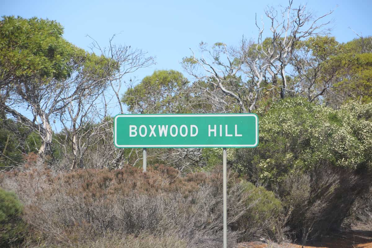
Boxwood Hill crossroad
The intersection on South Coast Highway that leads to the Fitz-Stirling area.
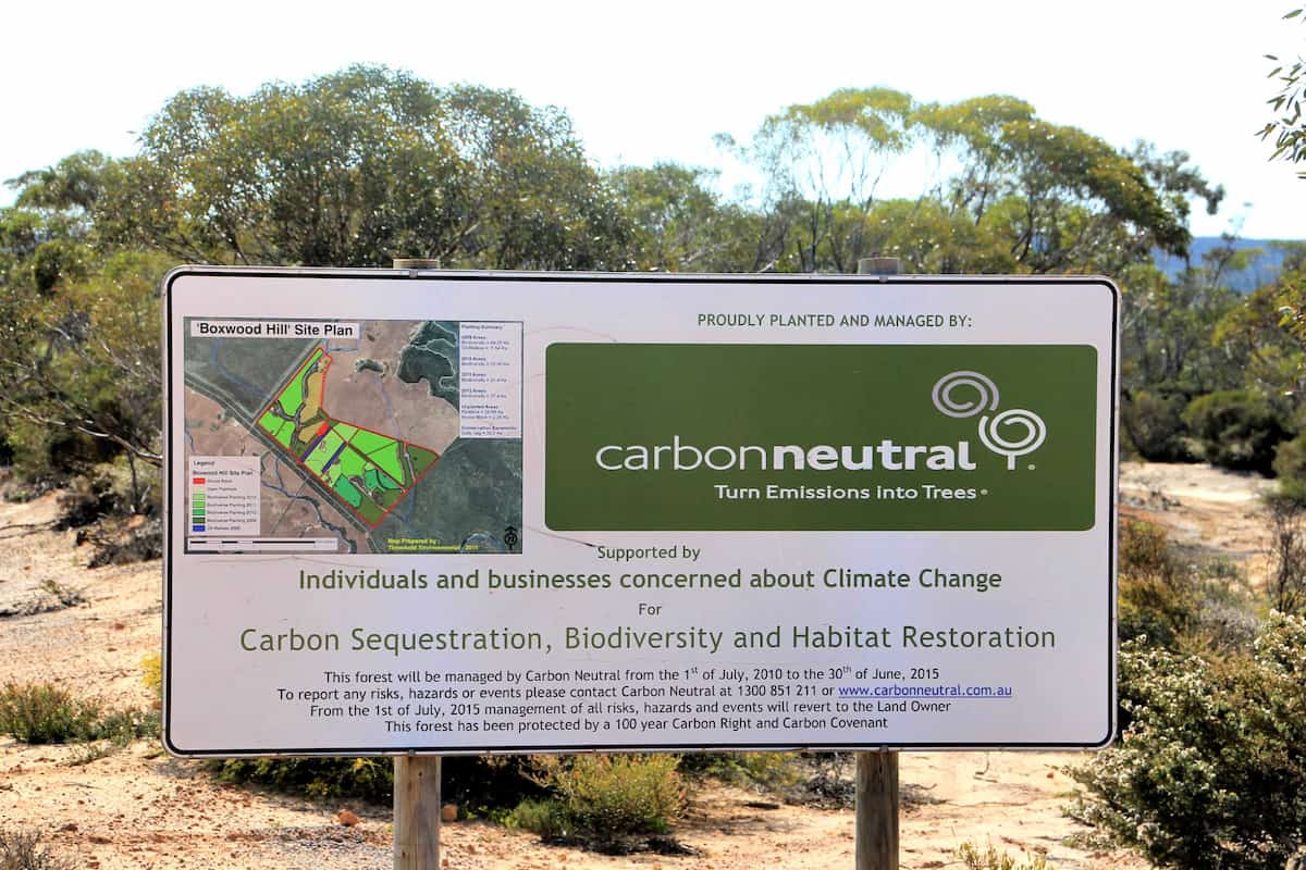
Carbon Neutral restoration site
This property was purchased and replanted for ‘Carbon sequestration, biodiversity and habitat restoration.’
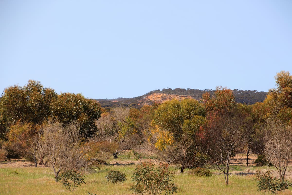
Norman's Road
The pullover area adjoins the now privately-owned conservation property that was initially restored by Carbon Neutral. The Corackerup Nature Reserve is over the road.
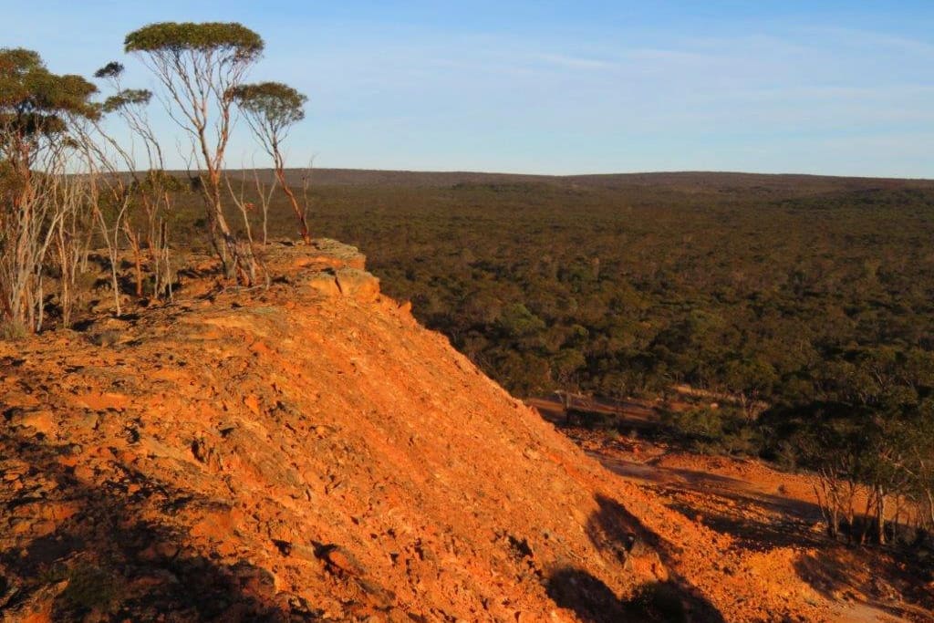
Nowanup
Nowanup is a special place. A centrepiece of ecological restoration in the Gondwana Link, it is also a centre for the Noongar community for healing country and healing people.
Practical Information
Facilities
This is a remote area and there are limited facilities available. There is a roadhouse at the Boxwood Hill intersection.
See Visitor Information from the Shire of Jerramungup for accommodation, eating and camping options in Jerramungup and Bremer Bay.

