Overview
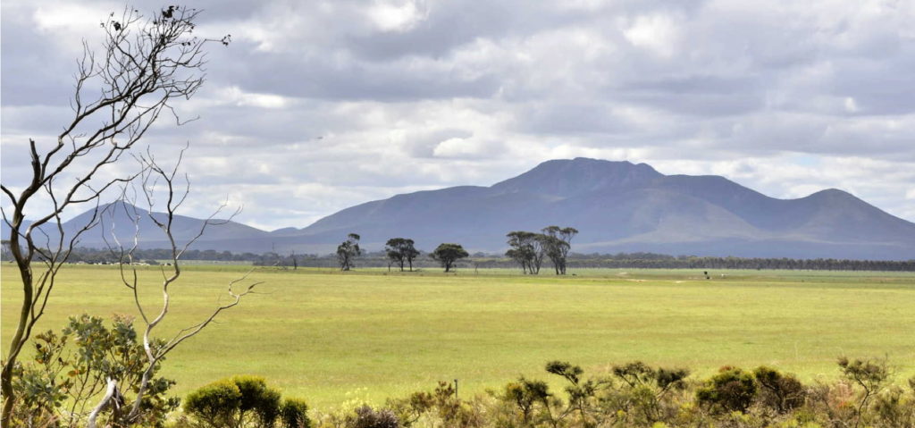
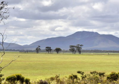
This scenic drive option takes you off the bitumen onto a good quality gravel road that takes you close to the southern side of the Stirling Ranges. It is well worth the effort as you will be rewarded with some amazing views of the Stirling Ranges, especially in September when the canola crops in their full yellow bloom in the surrounding paddocks try to compete with the stunning wildflowers of this area.
There are some stunning sections of roadside vegetation which come alive in Spring. You can also see some very productive farmland with leading examples of Landcare and integrated farm forestry, and you can hear stories about the settlement of this area.
Along the way you will cross the Kalgan River which flows between the two mountain ranges and meets the sea at Emu Point near Albany. You can listen to inspiring stories of how its health has been revived by committed individuals over the past few decades, and how this has enabled the restoration of seagrass meadows over 70km away in the Oyster Harbour, near Albany.
This section of scenic drive is about 23km, about half an hour without stops on a good gravel road. No facilities are available.
Story of the place
Watch
Farming for the Future: Restoring Oyster Harbour Together
Credit: Gondwana Link
Listen
Kalgan River
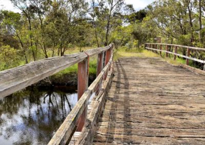
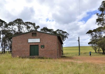
Just after the turn-off onto Woogenellup North Rd, you will cross the upper reaches of the Kalgan River. There is plenty of space to park at the Woogenellup community hall.
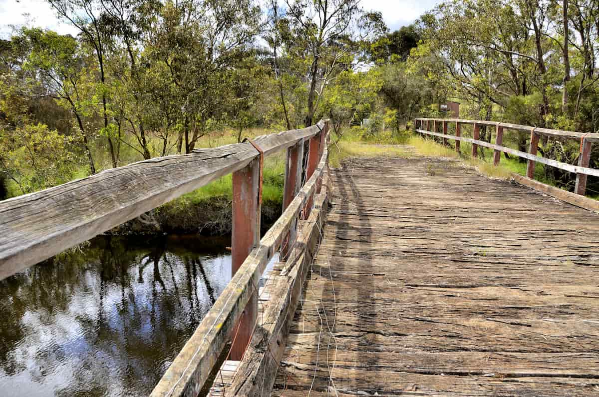
Image: Amanda Keesing
There is an historic old bridge going over the Kalgan River next to the new one, which gives you good views of a typical stretch of the river. There is a large pool to the west, and a much narrower rocky section of the river flowing to the east. Most of the Kalgan River is like this – long pools connected by narrow sections where the water flows faster. At the other end of Woogenellup Rd, where it joins onto Chester Pass Road, there is even a pool that is large enough to ski on.
This river has not always been as healthy as it is today. For many years, the river was just treated as part of the farms, with stock wandering wherever they wanted. They caused a lot of damage – trampling the vegetation and eroding the banks, as well as adding huge amounts of nutrients to the water and muddying it so no light could get through, making it very unsuitable for native species to survive. Algal blooms became common, the river choked up with sediment, and more salty areas were appearing. This was also having big effects on the river further downstream, and eventually started killing the seagrass meadows and oyster beds in Oyster Harbour, near Albany.
The community realized they had significant land-care problems, so they got together and started the Oyster Harbour Catchment Group. This was one of the earliest Landcare groups in the area, and they have been very active for over 30 years.
Visible landcare
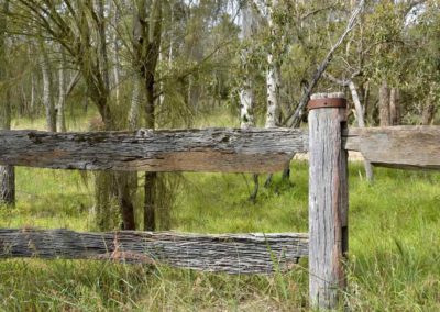
If you look back along the section of gravel road between the river and Woogenellup Rd (bitumen), you will see evidence of a very long-term commitment to land-care by the local landholders. You can see that the farmers have fenced off the river to protect it from grazing stock, and they have planted trees to try and reduce the impact of the farmland on the river.
Some of the trees are planted along mounds, which slows down the water running across the paddocks and reduces erosion. These plantings also absorb some of the nutrients running off the farmland – preventing algal blooms in the river, and lower the water table to prevent more areas of farmland from getting salty.
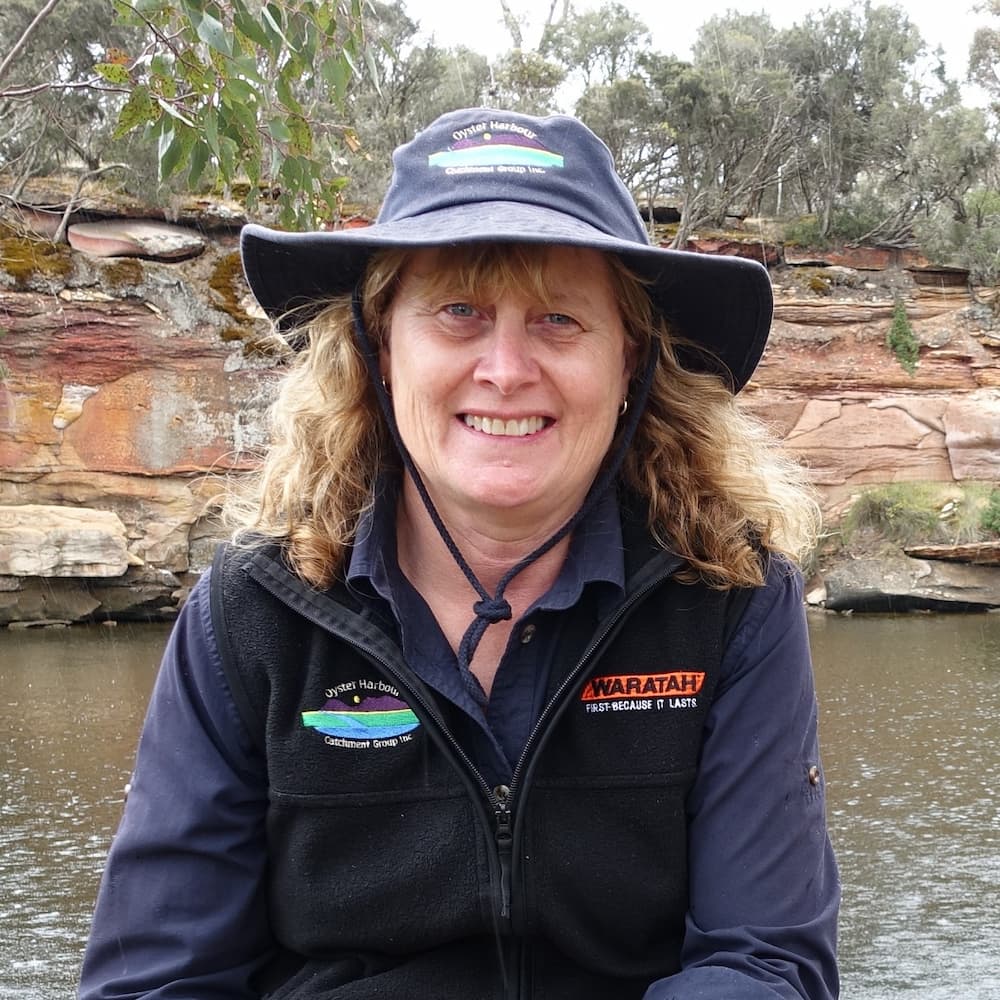
Heather Adams
Chair, Oyster Harbour Catchment Group
“I think the very first thing that we did actually was we fenced off this creek… we’ve got about eight kilometres of this creek that runs out of the Stirling Range National Park and then into the Kalgan river, we have the full length of it on our property.
And we had a little bit of funding, back in those days, but a lot of what we did, we did on our own and then it just sort of just grew from there, because it was really rewarding like we saw very quickly the benefits of doing that work just in the creeks so then we started to think ‘Well, we’ve got we’ve got a few salt areas, let’s get them sorted out’, so we fenced and planted salt areas… they were sort of the couple of the key things everybody started to do in those early days of landcare.”
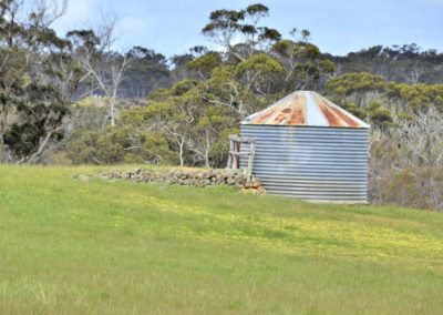
Woogenellup Hall
Woogenellup Hall is an indication that, like many farming areas in Australia, there was once a much larger population of farming families here, and the old hall would have been an important local gathering point. The size of the blocks originally given to settlers was based on the size of viable farming blocks in England where the soil is much more fertile and the rainfall much higher. After a few years the local farmers realised their farms were not big enough to make a profit, so they sold out to their neighbours and left the district. This left far fewer farming families on much bigger farms and had a huge impact on the local communities in the area.
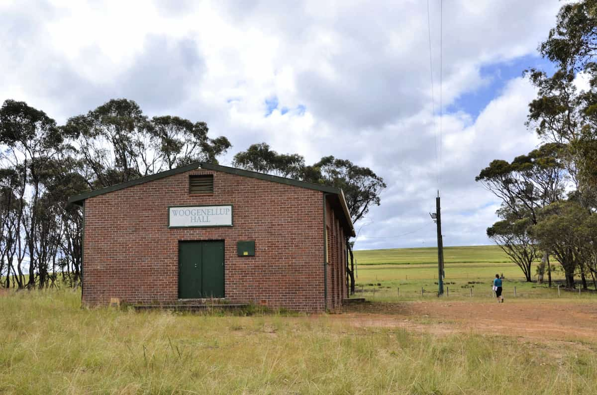
Image: Amanda Keesing
See & Do
Scenic drive north away from Kalgan River
This area was cleared in stages, with the more fertile land, the reasonably heavy loam soils along the river being cleared in the 1910s/1920s.
Once you move away from the river, the soils become sandy and up until the mid-1950s these were considered useless for agriculture.
Eventually agricultural science developed ways of making use of the rest of the land by developing different farming techniques like the use of trace elements.
Keith Bradby
CEO, Gondwana Link
“The road verge tells you a lot about soils and settlement history. As you go up the hill out of the river, you are obviously in old farming land, settled in the 1910s to 1930s. You can tell by the road verge – it’s very narrow with almost no native vegetation.
Then you go further away from the fertile soils of the river valley, and all of a sudden the road verges become 100m wide and full of native vegetation. These wide vegetation road verges were brought in mid to late 1960s in response to the increased concern people were raising about the loss of WA’s wildflowers.”
The verge on Woogenellup Road North is in quite good condition because the road is to one side of the road reserve, meaning that the verge is wider.
More often roads have been created through the middle of roadside conservation areas, which fragments them even more. Very narrow roadside verges are more vulnerable to disturbance like weed infestation and soil movement, and many are now in very poor condition.
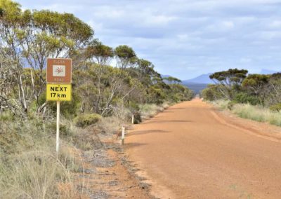
Driving along Woogenellup Rd Flora Rd
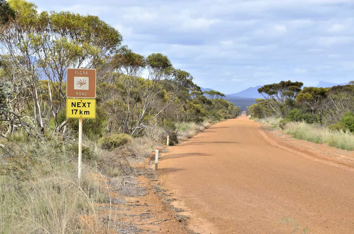
Image: Amanda Keesing
You are now driving along a high ridge that provides stunning views of the Stirling Ranges, with productive farmland in the foreground. If you look to the south glimpses of the Porongurup Range will also be visible.
This section of Woogenellup Rd North is a designated flora road. This means it has more than 2km of high conservation value vegetation, has high landscape values, and is easily accessible by the public.
As you drive along it, you will notice some very healthy mallee heath woodlands, which are very rich in wildflowers.
Giving back and getting involved
Two community-based organisations play an important role in ecological restoration in this area. Contact them directly to get involved in citizen science investigations or ecological restoration events.
Nearby
There are many other sites to visit nearby including:
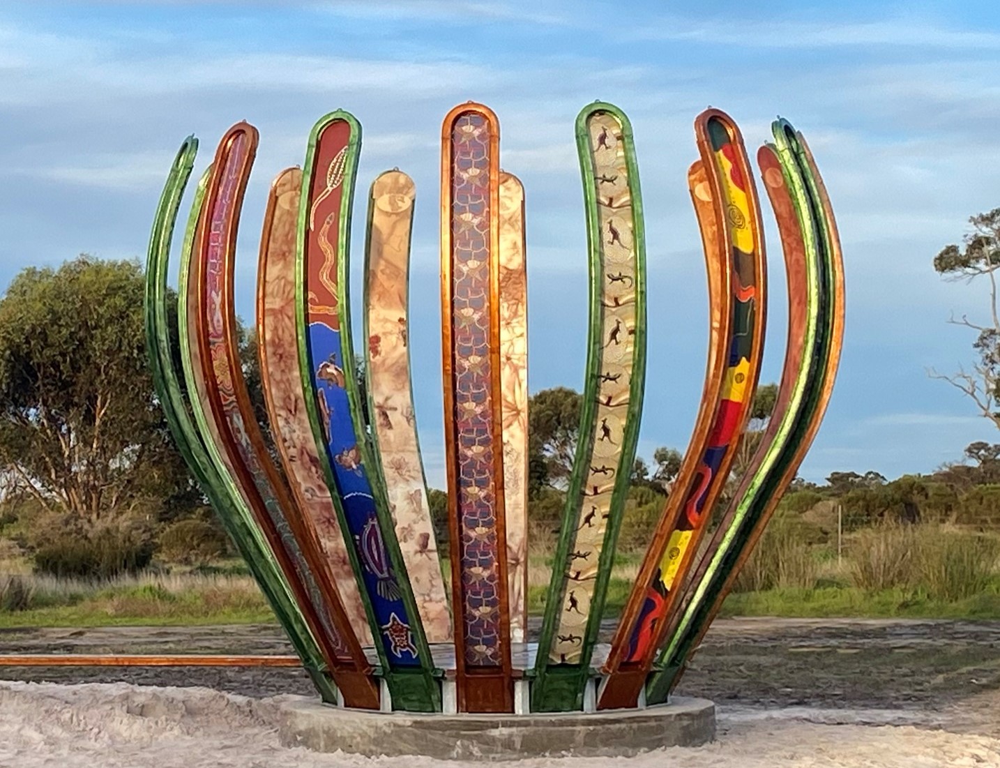
Gondwana Link Sculpture
The Gondwana Link Sculpture is on Knights Rd, on the Twin Creek Conservation Reserve. It is part of a broader Genestreams Songlines Sculptures Project.

The Stars Descend | Borongur | Friday 23 March 2023
Chapter 3 (Borongur) of The Stars Descend at Twin Creeks Conservation Reserve, Porongurup Range
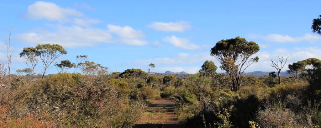
Twin Creeks Conservation Reserve
Nestled between the Porongurups and Stirling Ranges, Twin Creeks is a community owned conservation reserve - purchased and managed by the Friends of the Porongurup Range.
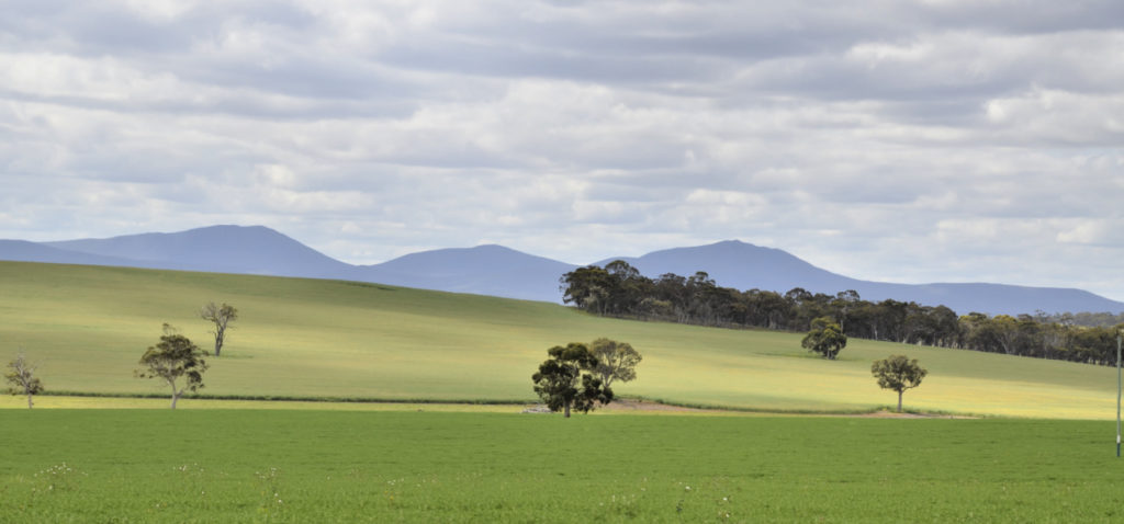
Woogenellup Road
This drive from Pwakkenbak and Mt Barker takes you out into some very scenic farm land, with the Stirling Ranges as your ever-present backdrop.
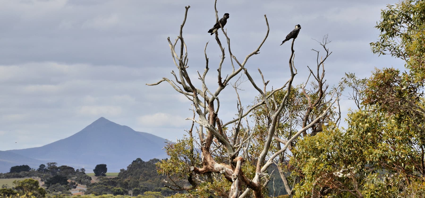
Chester Pass Rd viewpoint
This is just a small gravel roadside stop with views of Koi-Kyenuruff (Stirling Ranges) and across farmland.
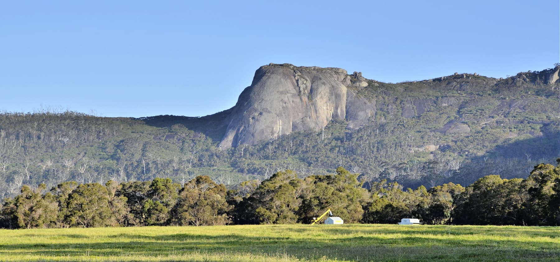
Castle Rock and Walitj Meil trail
The Castle Rock Granite Skywalk and ground level Walitj Meil walk trail are in the Porongurup National Park.
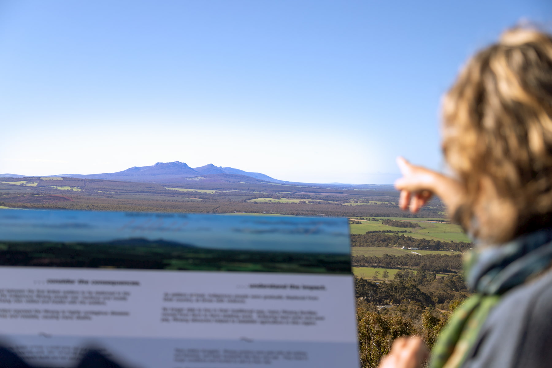
Pwakkenbak / Mt Barker Lookout
At 404m above sea level, this lookout provides a commanding view over the entire region, including both the Stirling and Porongurup mountain ranges.
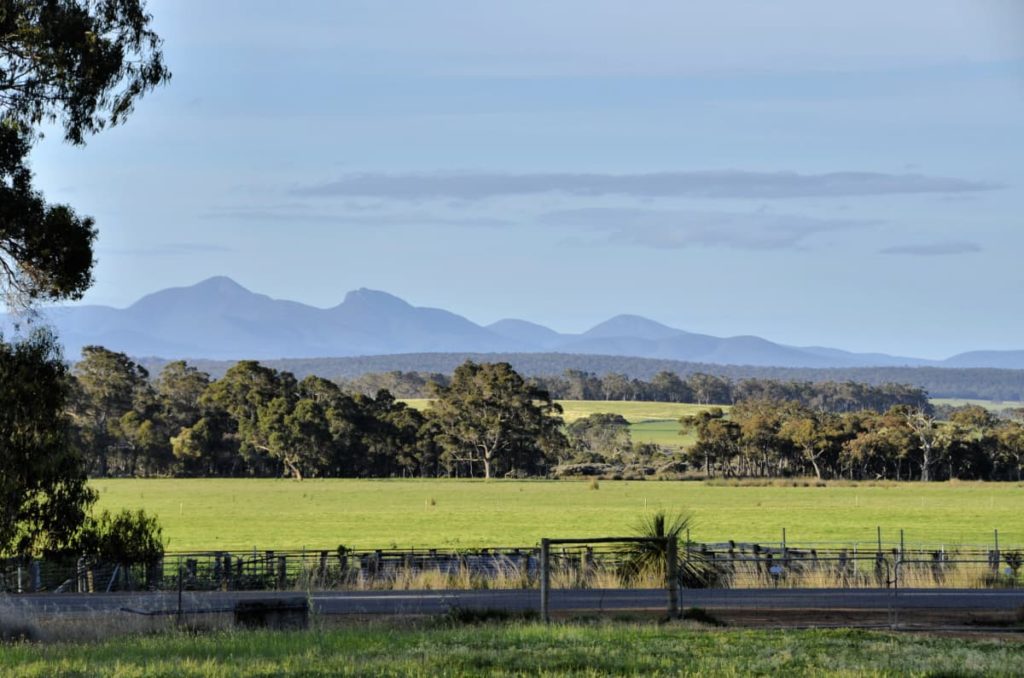
Porongurup Road
Porongurup Rd takes you to the base of the spectacular and ancient Porongurup Range, which is mostly protected in a National Park, also with beautiful views of the Stirling Range.
Practical Information
Directions
Woogenellup Road North runs east for 23km on a good gravel road, until it reaches Chester Pass Rd.
Stop safely
There is no designated pullover areas on Woogenellup Rd, so please only pull over if it is safe to do so!
When to go
In late Winter patches of bright yellow appear in the farming landscape as the canola crops are in full bloom.
As with most places in south-western Australia, it is worth visiting during the wildflower season during Djilba and Kambarang (August to November) to make the most of the interesting vegetation in surrounding areas.
Where to eat and stay
See the suggestions from our friends at Great Southern Treasures:

