Overview
Like nearby Chingarrup Creek, Corackerup Creek is also deeply incised into the surrounding landscape. It forms a substantial sub-catchment of the Pallinup River which holds many smaller creeks, with some beginning near Jerramungup.
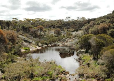
While the creek might look dry when you pause at the crossing, the main channel of this system contains many large and deep pools – over 100 across the whole creek system.
Because stream flow varies from low to nothing for most of the year, these pools along its length are the most important aquatic habitat, containing a multitude of invertebrates, birds and fish.
Story of the place
Floods and sand slugs
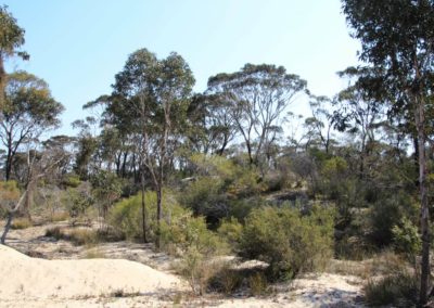
From the vantage point on the road it is difficult to see much of the creek, due to the large piles of sand deposited here. These are the residue of major erosion that has happened in the past few decades.
Like all the waterways in this region, the floodway is subject to large, unpredictable flood events, particularly during summer storms. If these happen in relatively bare farmlands, accelerated erosion occurs with soil washing into the creeks. Known as sand slugs they can be found in many of the creeks.
The sand can fill up the deep pools which are the permanent sources of water in this landscape and are important refuges for fish and invertebrates. Individual sand slugs eventually wash downstream, but creeks re-fill with sand when more big rains occur. Some rivers in more heavily cleared areas have virtually become ‘rivers of sand’, with few of the deep, permanent pools that wildlife need.
Aquatic ecologists, Steve and Geraldine Janicke, in investigations of Corackerup and Chingarrup creeks and pools, found that sediment filling the pools was the main factor impacting on the ecological health. With the adoption of improved farmland management and good landcare practices , such as fencing and revegetation along their creeks and streams, many farmers have stopped the slugs from leaving their properties in most seasons.
Add to this the larger scale ecological restoration of cleared land that is underway in the region and there are signs that the movement of soil and sand has slowed significantly. There is still considerable sand from past events still in the creeks though, and it is now working its way down to the estuaries at the bottom of the river systems. It has been estimated that one flood in January 1982 carried over 100,000 tonnes of sediment down the Pallinup and into its estuary.
It is still too early for the restoration efforts to have a major impact on the creeks but groups involved in Gondwana Link are monitoring the deep pools to see how the integrity of the waterways can be maintained and what plants and animals come back.
See & Do
Roadside stop
If traffic is light, it may be possible to pull off on the side of the road close to the creek crossing, to explore the creek on foot.
While the creek might look dry when you pause at the crossing, the main channel of this system contains many large and deep pools – over 100 across the whole creek system.
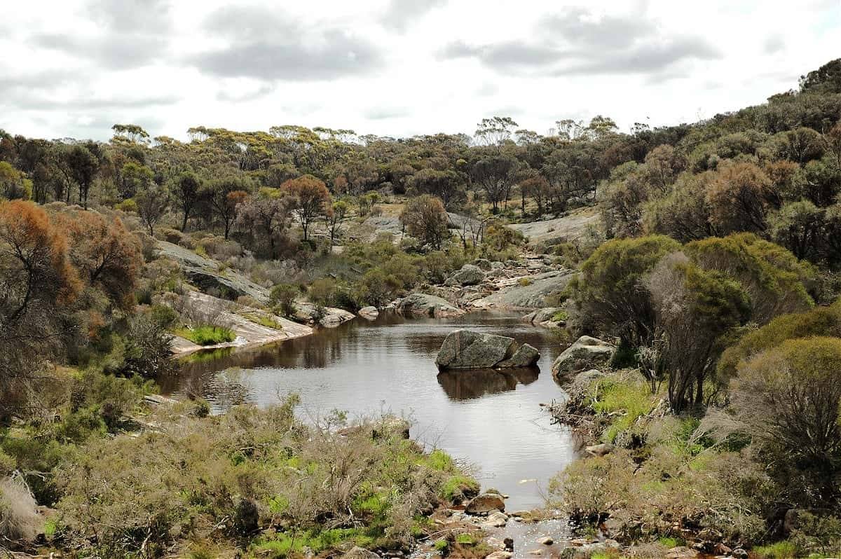
A pool upstream on Corackerup Creek
Image: Amanda Keesing
Giving back and getting involved
Gondwana Link plays a key coordination role in the ecological restoration work in the Fitz-Stirling area.
Nearby
There are many other sites to visit nearby including:
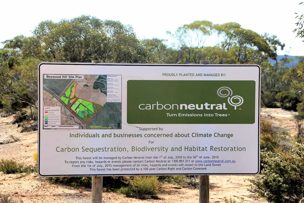
Carbon Neutral restoration site
This property was purchased and replanted for ‘Carbon sequestration, biodiversity and habitat restoration.’
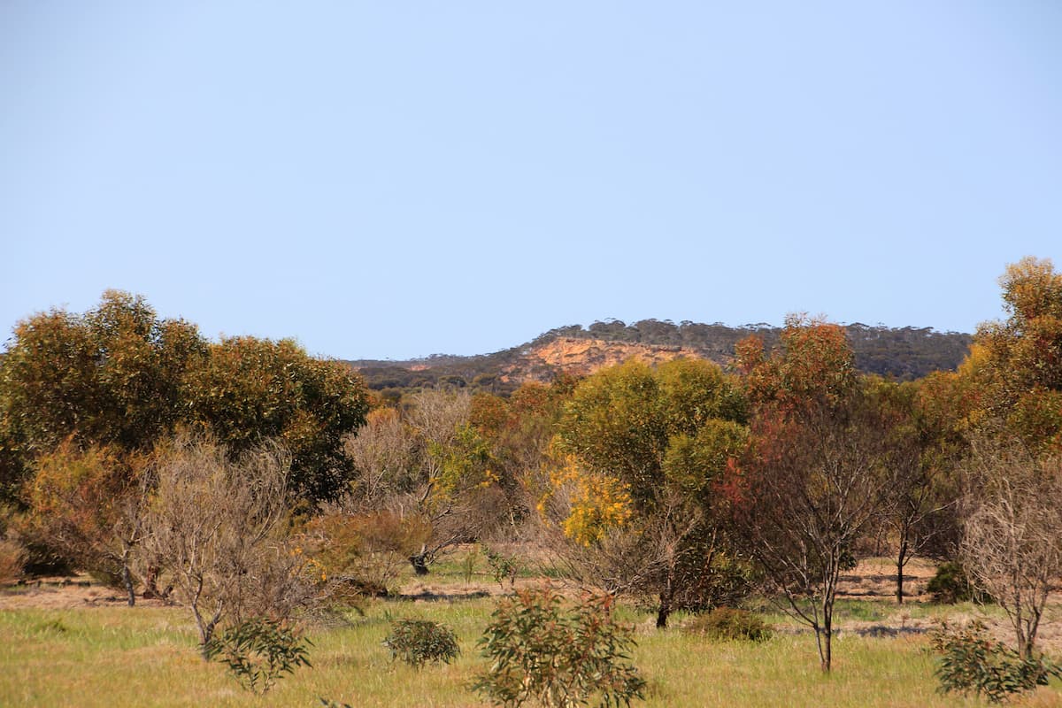
Norman's Road
The pullover area adjoins the now privately-owned conservation property that was initially restored by Carbon Neutral. The Corackerup Nature Reserve is over the road.
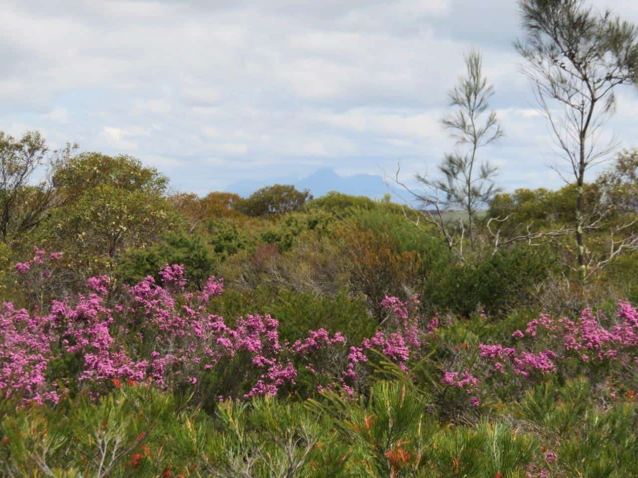
Chingarrup Sanctuary
Just to the north of Chingarrup Creek is Chingarrup Sanctuary the very first property purchased for ecological restoration as part of the Gondwana Link program, back in 2002.
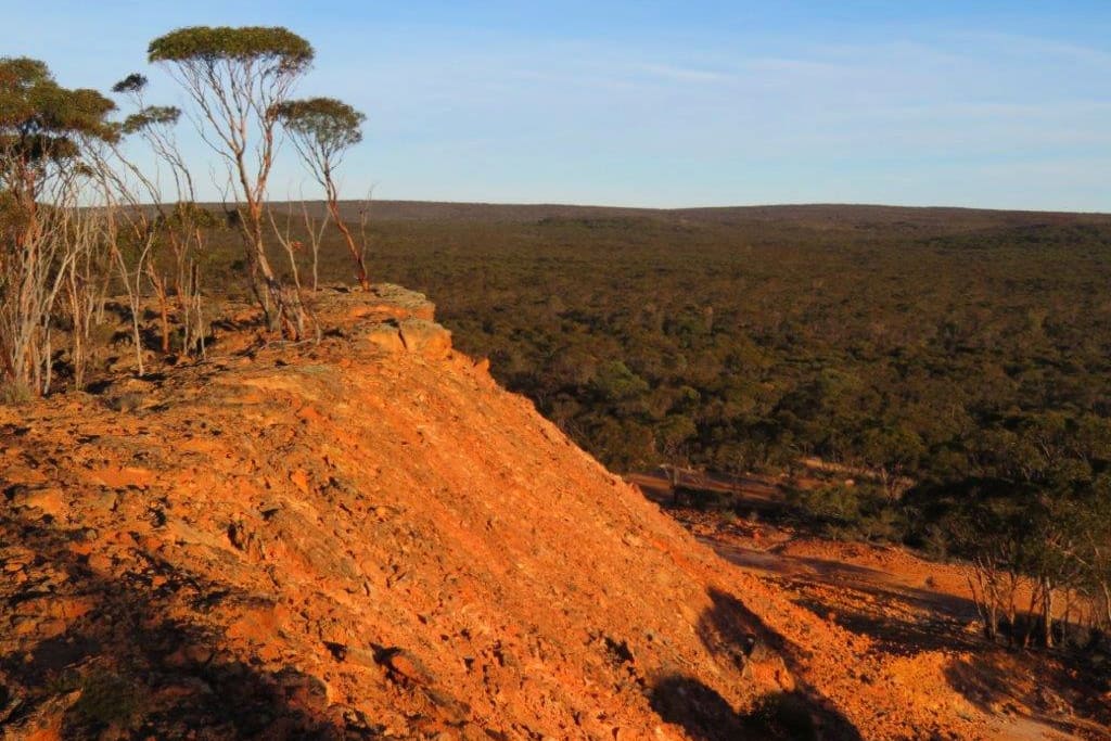
Nowanup
Nowanup is a special place. A centrepiece of ecological restoration in the Gondwana Link, it is also a centre for the Noongar community for healing country and healing people.
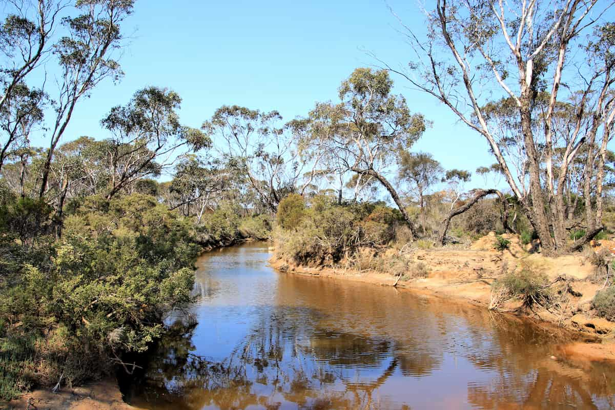
Chingarrup Creek Crossing
All the brooks and creeks in this area are tributaries of the Pallinup River, the largest river system on the South Coast.
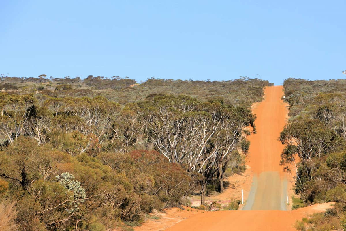
Boxwood Hill - Ongerup Road
This first stretch of road will take you into the heart of one of Australia’s most important ecological restoration areas.
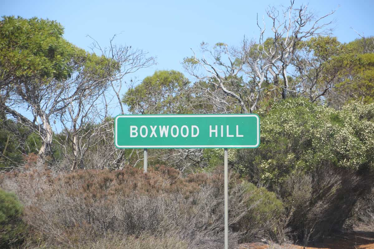
Boxwood Hill crossroad
The intersection on South Coast Highway that leads to the Fitz-Stirling area.
Practical Information
Facilities
This is a remote area and there are limited facilities available. There is a roadhouse at the Boxwood Hill intersection.
See Visitor Information from the Shire of Jerramungup for accommodation, eating and camping options in Jerramungup and Bremer Bay.

