-
Toilets Available
-
Disabled Access
-
Picnic Areas
-
Hiking
-
BBQ Available
-
Mobile Reception (Telstra)
-
Camping Allowed
Featured in journeys:
Cranbrook Lakes loop
Overview
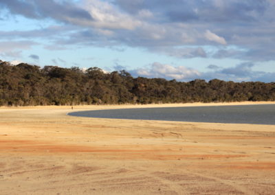
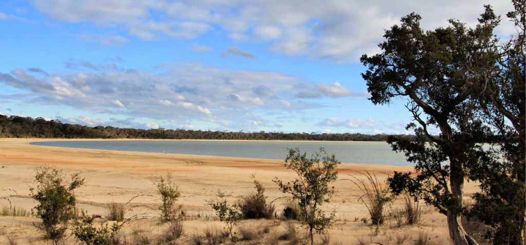
Lakes, wetlands and rivers are a window into the health of the broader landscape, and Lake Poorrarecup is no exception having seen many changes in fortune over the past century.
At the time of European settlement, Lake Poorrarecup appears to have been more of a seasonally inundated freshwater wetland, and must have been an extremely important source of food and water for the Kaneang Noongar people.
In the last fifty years, widespread clearing in its catchment has impacted the health of this wetland system. Surface water flow has increased and the saline groundwater has risen, so that the lake is now brackish, at best. It remains a regionally significant wetland though, in the chain of important wetlands across this area, and is particularly important habitat for large numbers of waterbirds.
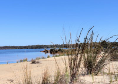
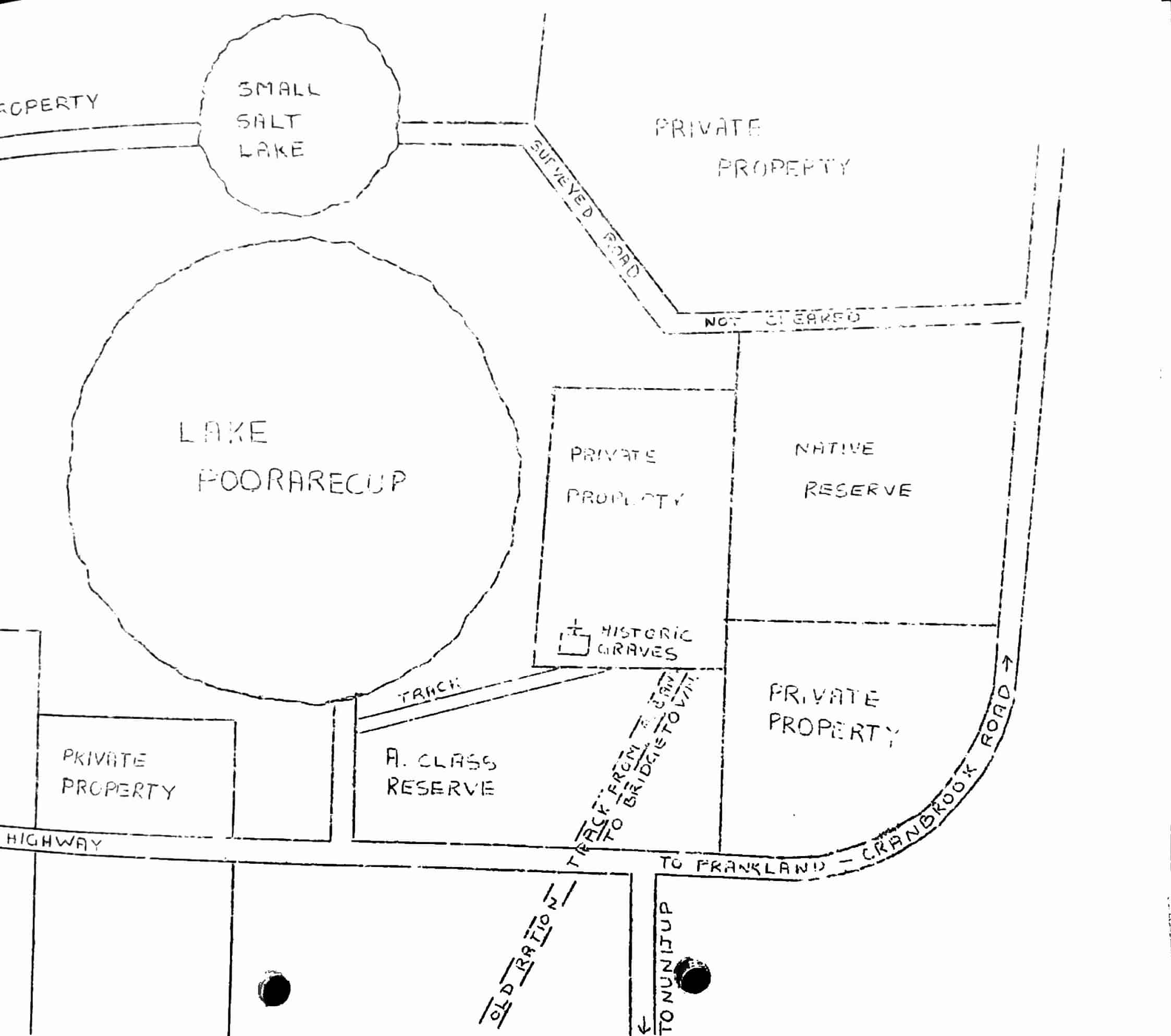
As one of the largest lakes in the region, currently with an area of almost 2ha and a perimeter of 5km, Lake Poorrarecup has been a popular local recreation spot since the arrival of European settlers. And since the 1950s it has been a shared space – where the environmental importance of the lake is recognised while also allowing recreational sports and camping to take place.
Lake Poorrarecup, and the neighbouring smaller lakes, are all protected within reserves. There is an authorised campsite, and when the water level allows, the lake is popular for water-skiing.
Story of the place
Watch
Noongar Boodja
Freshwater wetlands were important places for the Noongar community, and Lake Poorrarecup is known to be an important meeting place for the Kaneang Noongar people.
From watering hole to swimming pool
In 1869 the Evans family applied for land next to Lake Poorrarecup in order to establish a farm. Most travellers called in to the lake and it became a noted stopover and watering place for the stock route that ran to the railway line at Cranbrook.
The lake apparently went dry, for a time, about the turn of the century and a well was dug in the bed to provide water for stock.
In the 1950s, the lake began to be seen as a community resource and a public good. In 1957 a Lake Committee was formed from nearby communities. It was gazetted as a wildlife sanctuary that same year. In 1958 swimming lessons began at the lake.
The early 1960s was perhaps the post-colonisation heyday for Lake Poorrarecup – it was a recreational hub for the surrounding community. By 1966, 1200 children had been taught to swim at the lake, and over the years a playground was constructed, and a kiosk, changerooms and toilets built.
In 1963 the annual New Years Day picnic was turned into a special promotional day featuring a beauty contest, water-ski competition and other events, and up to 2500 people attended.
The lake was stocked with freshwater fish in 1967 but by 1977 the fish had disappeared due to rising salinity.
From freshwater to saline
When Noongar people camped here, this was a mostly fresh, seasonally inundated wetland perched above the water table.
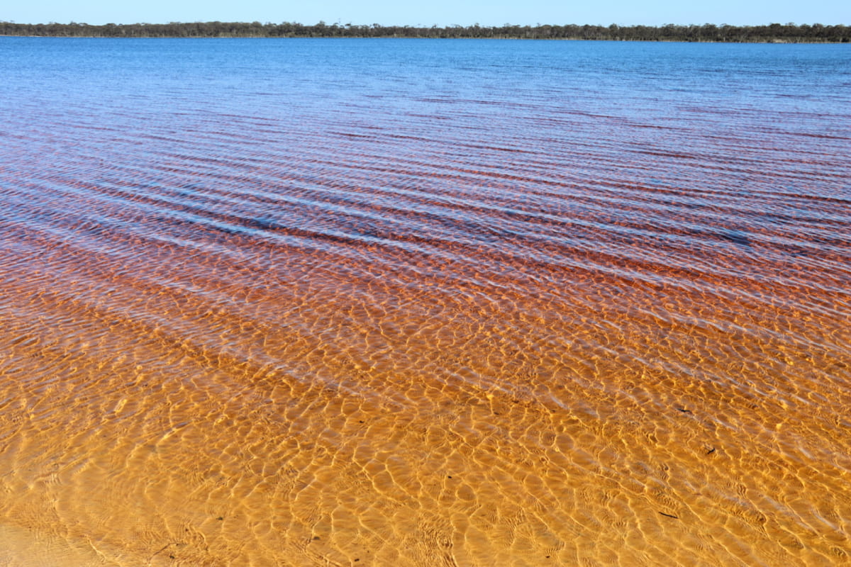
Image: Nicole Hodgson
The removal of the original deep-rooted perennial vegetation, and replacement with shallow rooted annual crops and pastures, has caused the groundwater to rise, bringing with it salt stored deep in the soil.
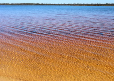
Now the lake is connected to saline groundwater which results in highly saline conditions. Measurements in February 2020 showed salinity was at 70 parts per thousand, which is twice as salty as seawater.
How the catchment impacts the lake
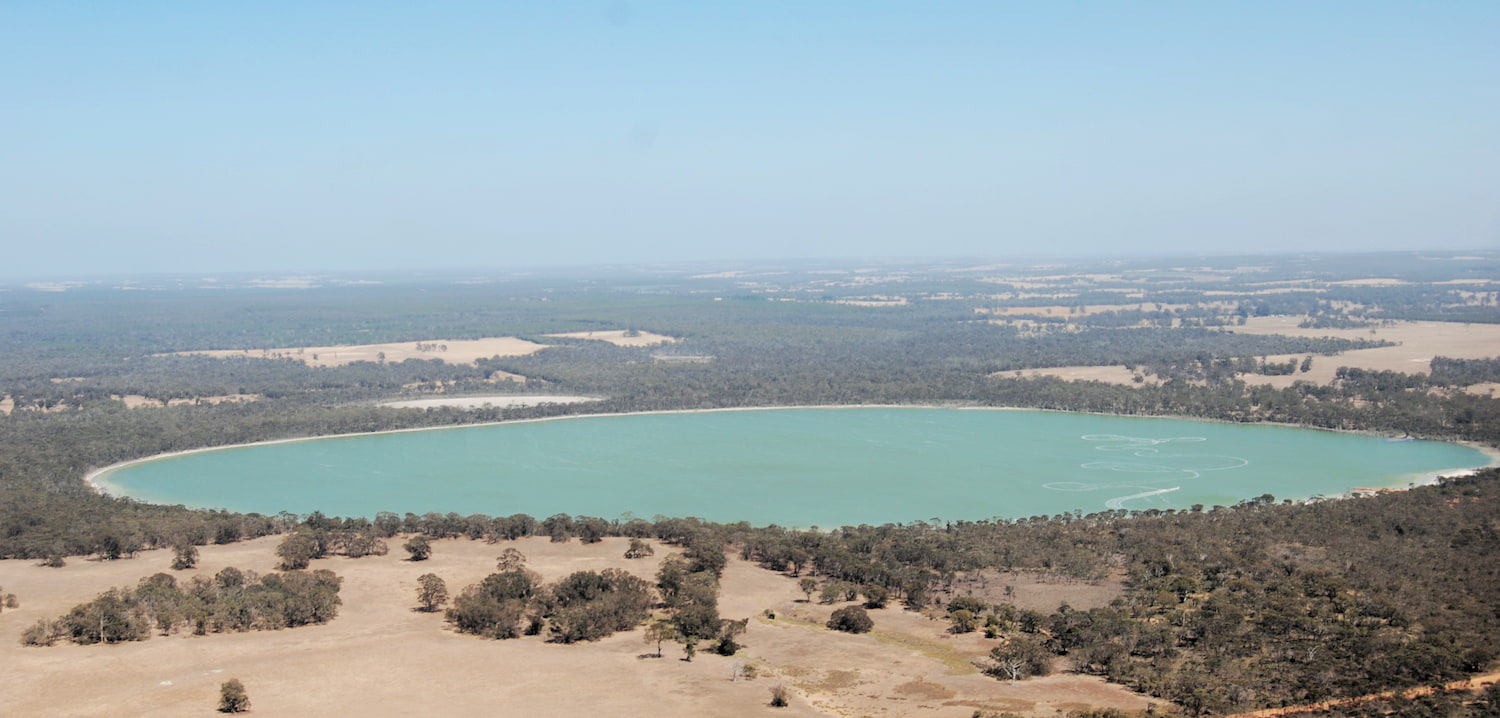
Image: Kevin Hopkinson
Lake levels rise and fall due to rainfall but also based on what is going on in the rest of the catchment.
In the 1960s / 1970s over half the native vegetation in the catchment was cleared, which increased the height of the water table and lake levels.
In the 1980s and 1990s many eucalypt plantations were established in the catchment which effectively restored the original water balance, and more, so that by 1999 the level of Lake Poorrarecup had dropped and smaller lakes in the catchment had dried up.
In the 2010s there was widespread removal of the plantations to revert back to farming. Normally this would have resulted in water levels rising again, but complicating this story is the decline in rainfall experienced in south-western Australia over recent decades.
Alan Hordacre
Farmer and Landcarer, Shire of Cranbrook
“We used to get 28 inches of rainfall and now we are very lucky to get 18 inches. Things are drying out. If you take 10 inches of rainfall out of a relatively infertile, dry environment, it is going to have to adapt and change.”
See & Do
Walk trails
There are two short walk trails at the lake. When water levels are low, it is also easy to walk around the lake shore.
To the north is the Evans’ Grave Walk Trail – leading to the graves of Rose and William Evans, who took up land here in the late 19th century, and died in the 1890s. The walk is 1.5km return and is a good walk trail for spotting orchids in spring.
The Andy Ronald’s Accident Site Walk Trail – walk the 500m return trail and find out the history behind this site.
Fringing vegetation
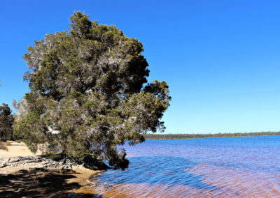
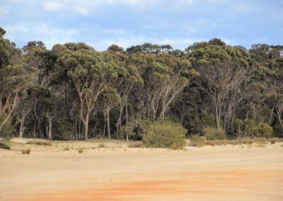
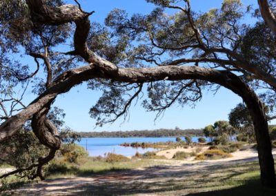
Poorrarecup Lake is surrounded by a Shire Reserve. The fringing vegetation includes saltwater paperbark trees (Melaleuca cuticularis) and swamp yate (Eucalyptus occidentalis).
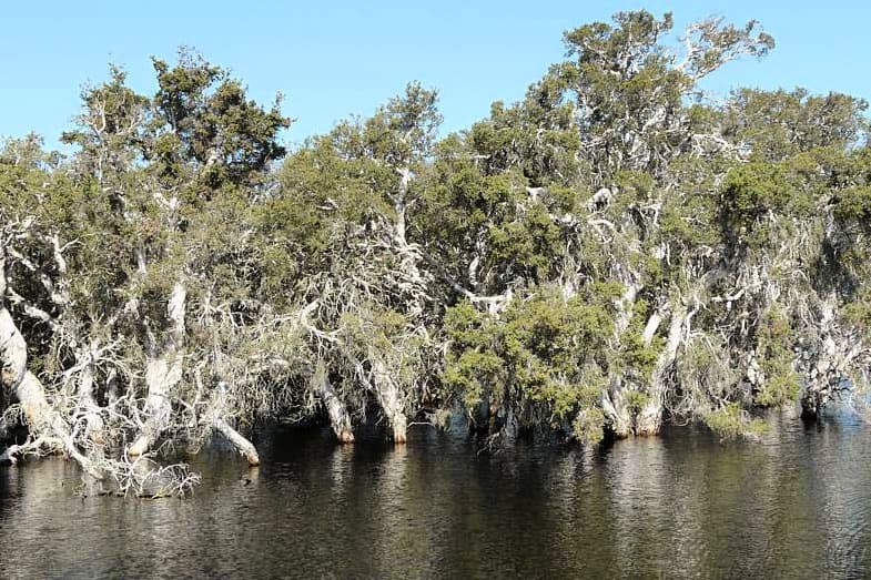
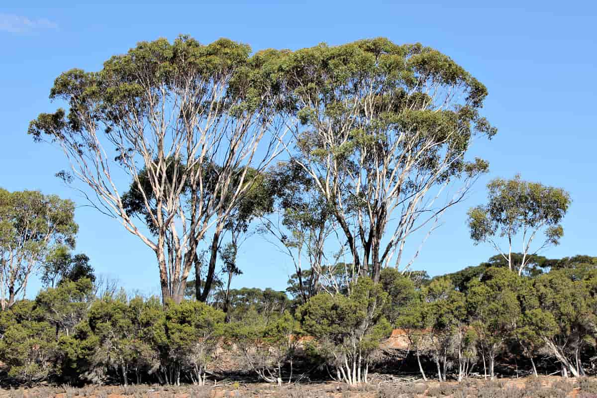
Salt Paperbark (Melaleuca cuticularis)
Image: Katanning Landcare
Swamp Yate (Eucalyptus occidentalis)
Image: Anne Rick
The dead trees on the northern edge are a visible sign of how difficult it is for the original vegetation to adapt to highly saline conditions. Only the most salt tolerant vegetation remains.
Under the surface
Swan grass (Ruppia megacarpa) grows in the lake and provides an important food source for the many waterbirds.
It’s living water! While the very high salinity has restricted the kinds of macro-invertebrates found in Lake Poorrarecup, there are still twenty different groups, including: Gastropoda (snails/limpets), Cladocera (water fleas), Ostracoda (seed shrimp), and plenty of other insect species.
Birdlife
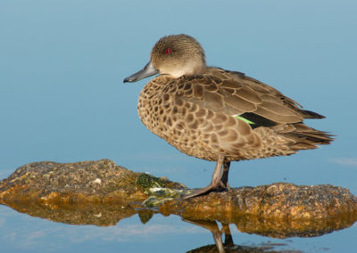
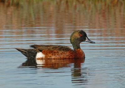
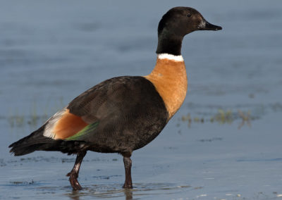
Birds that you might see on the lake, feeding on the aquatic vegetation and associated invertebrates include:
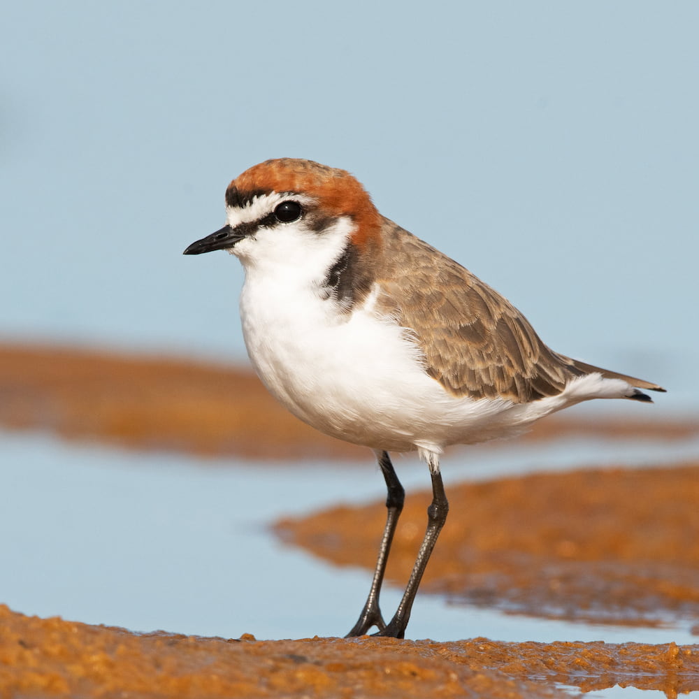
Image: John Anderson
Red-capped Plover (Dotterel) (Charadrius ruficapillus)
This is one of Australia’s most common beach-nesting shorebirds. They feed on small invertebrates on mudflats and water edges in their characteristic ‘stop-run-peck’ method.
Their speckled eggs are laid in a shallow depression in the ground, often beneath a low shrub, or out in the open if near water – so they are vulnerable to human disturbance.
Giving back and getting involved
Two community-based organisations play an important role in protecting and restoring wetlands and other important places across this area, which is doubly important for providing the best chance for wildlife to move between the Stirling Range National Park and the Walpole Wilderness Area.
Contact them directly to get involved in citizen science investigations or ecological restoration events. Please consider making a donation to help their work.
Nearby
There are many other sites to visit nearby including:
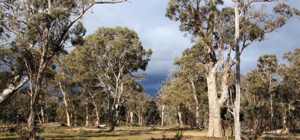
Warrenup Reserve and Kenny's Tank
Within a beautiful stand of mature wandoo woodland is the Warrenup wetland, within the Warrenup Reserve. Kenny’s Tank is an old well next to the wetland that is just a short walk off the road.
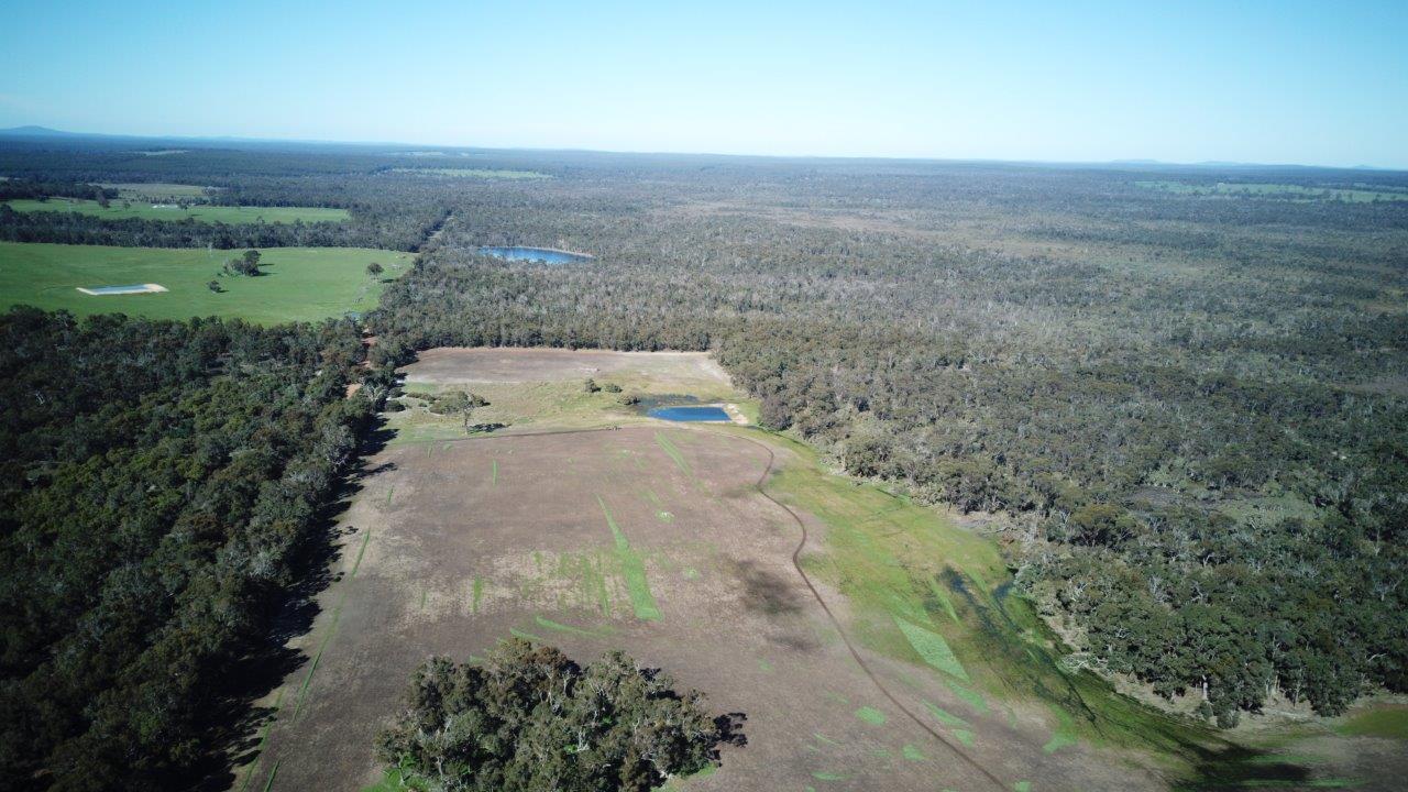
Tootanellup
Tootanellup is a property near Rocky Gully purchased for conservation by Green Skills, to contribute to the Gondwana Link vision.
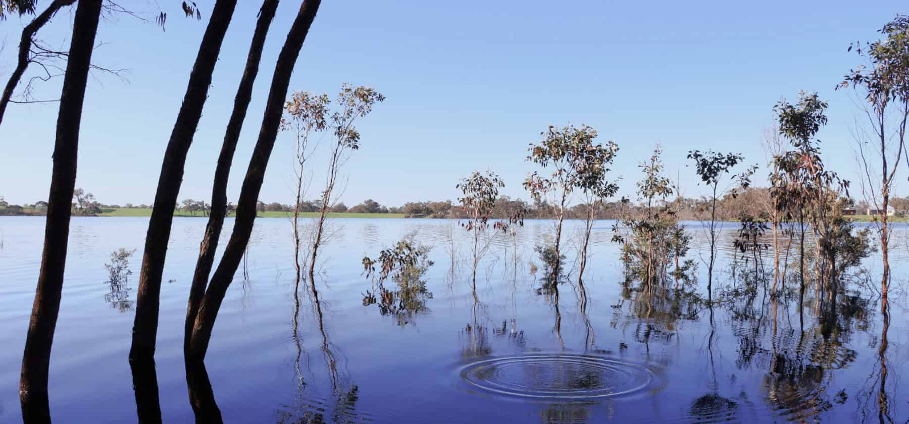
Lake Nunijup
Nunijup is said to mean place of many snakes, a descriptive name back when this was a special meeting place for the Kaneang people of the Noongar nation.
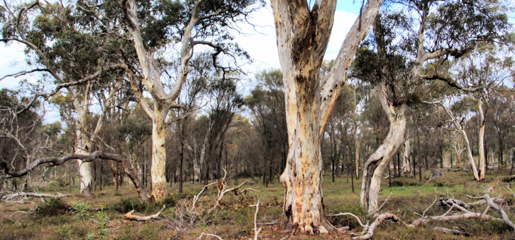
Twonkup
Known to the Noongar community as Dwangup, this is a very significant cultural site and a registered Aboriginal heritage site.
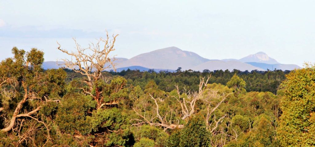
Balijup Farm and Fauna Sanctuary
Balijup Farm has been farmed by the Hordacre family since 1923.
Practical Information
Directions
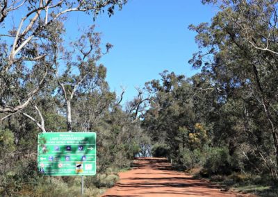
Lake Poorreracup is 42 km to the south-west of Cranbrook on the Frankland-Cranbrook Rd and 23km to the south-east of Frankland River. Poorrarecup Road is accessed from the bitumen Frankland-Cranbrook Road (north) or the gravel Mallawillup (south) Rd or Tuckers Rd (east).
Facilities
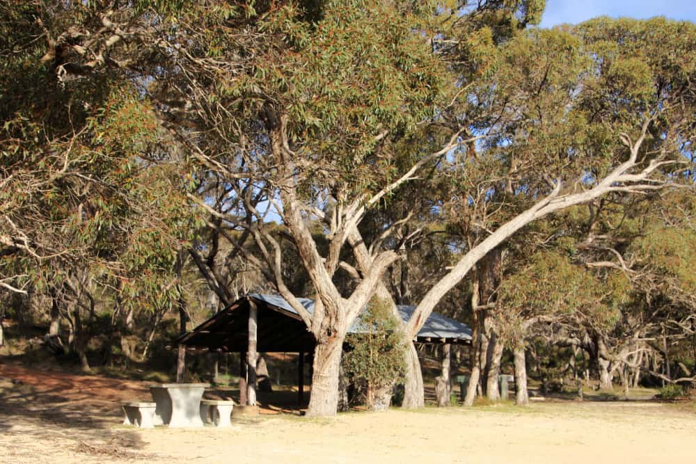
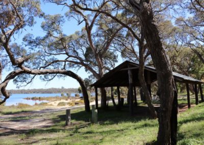
There are recreation facilities at the lake, including change rooms and toilets, picnic tables and shelters.
Camping is available at the lake. However, there is no potable water available. And please take all your rubbish with you.
Pets are not allowed at the lake sites.
When to go
Winter and spring are recommended – when water levels will be the highest and the most plants flowering.
Closest towns
Cranbrook – 42km via Frankland-Cranbrook Rd
Frankland River – 23km via Frankland-Cranbrook Rd
Visitor Information
Frankland River Community Resource Centre
(08) 9855 2310

